New Bremen in Auglaize County, Ohio — The American Midwest (Great Lakes)
Pioneer Cabin
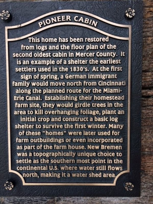
Photographed by Michael Baker
1. Pioneer Cabin Marker
Topics. This historical marker is listed in this topic list: Settlements & Settlers.
Location. 40° 26.033′ N, 84° 22.825′ W. Marker is in New Bremen, Ohio, in Auglaize County. It is at the intersection of East Plum and Canal Street, on the right when traveling west on East Plum. Touch for map. Marker is in
this page online

Regionally, this marker is in Ohio’s Till Plains. It is also in the American Midwest and in the Corn Belt. Globally, it is in North America, the Western Hemisphere, the Western World, and the Anglosphere. Historically, it finds itself in what was once the Haudenosaunee (Iroquois) Confederacy, the territory of the Mississippian Culture, and the Northwest Territory.
Other nearby markers. At least 8 other markers are within walking distance of this marker: 206 South Washington Street (about 300 feet away, measured in a direct line); Original “Bump” Bridge (about 300 feet away); 120 South Washington Street (about 300 feet away); Komminsk Family (about 400 feet away); New Bremen Jaycees Park (about 600 feet away); Loramie Summit (about 600 feet away); Bowstring Girder (about 600 feet away); 40 South Washington Street (about 600 feet away). Touch for a list and map of all markers in New Bremen.
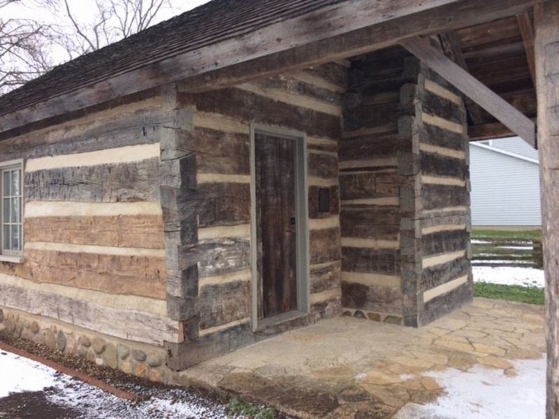
Photographed by Michael Baker
2. Pioneer Cabin Marker
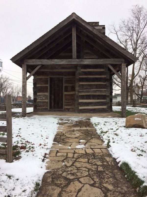
Photographed by Michael Baker
3. Pioneer Cabin Marker
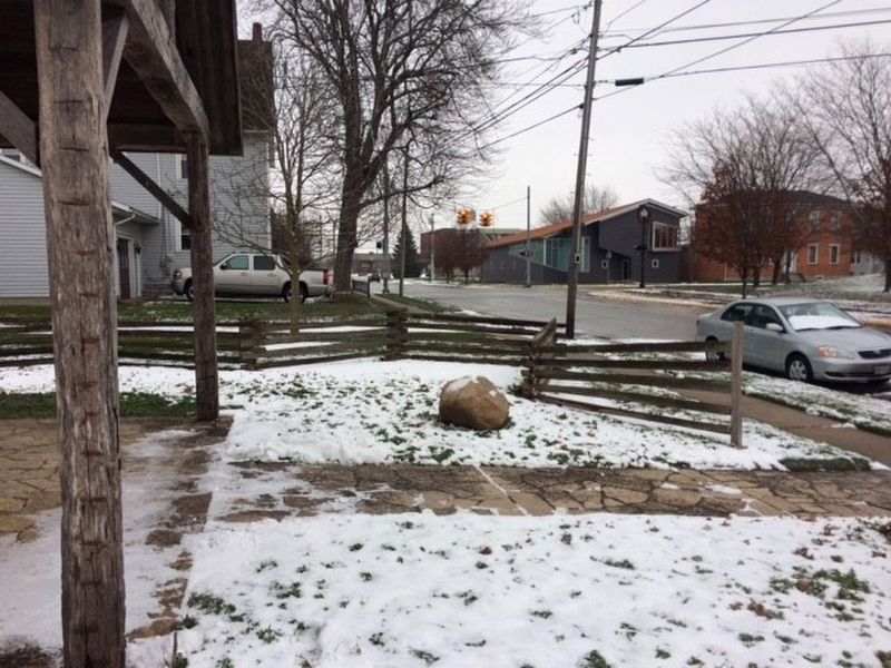
Photographed by Michael Baker
4. Pioneer Cabin Marker
Credits. This page was last revised on January 6, 2017. It was originally submitted on January 5, 2017, by Michael Baker of Lima, Ohio. This page has been viewed 1,526 times since then and 21 times this year. Photos: 1, 2, 3, 4. submitted on January 5, 2017, by Michael Baker of Lima, Ohio. • Bill Pfingsten was the editor who published this page.
