Anacostia in Southeast Washington in Washington, District of Columbia — The American Northeast (Mid-Atlantic)
Crossing Lines
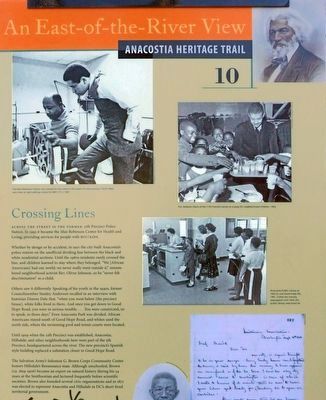
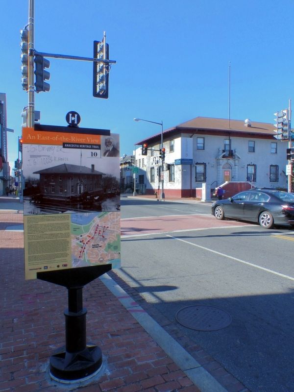
An East-of-the-River View
— Anacostia Heritage Trail —
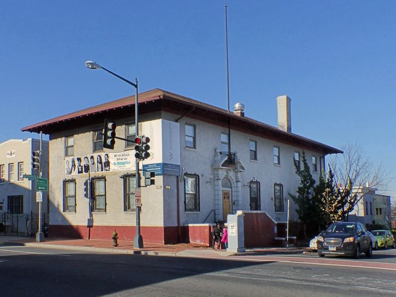
Across the street is the former 11th Precinct Police Station. In 1993 it became the Max Robinson Center for Health and Living, providing services for people with HIV/AIDS.
Whether by design or by accident, in 1910 the city built Anacostia's police station on the unofficial dividing line between the black and white residential sections. Until the 1960s residents rarely crossed the line, and children learned to stay where they belonged. "We [African Americans] had our world; we never really went outside it;' remembered neighborhood activist Rev. Oliver Johnson, so he "never felt discrimination" as a child.
Others saw it differently. Speaking of his youth in the 1940s, former Council member Stanley Anderson recalled in an interview with historian Dianne Dale that, "when you went below [the precinct house], white folks lived in there. And once you got down to Good Hope Road, you were in serious trouble .... You were constricted, so to speak, in those days." Even Anacostia Park was divided. African Americans stayed south of Good Hope Road, and whites used the north side, where the swimming pool and tennis courts were located.
Until 1909 when the 11th Precinct was established, Anacostia, Hillsdale, and other neighborhoods here were part of the 5th Precinct, headquartered across the river. The new precinct's Spanish style building replaced a substation closer to Good Hope Road.
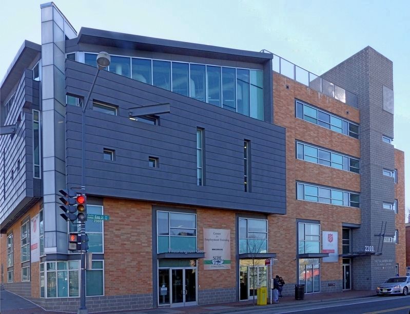
The Salvation Army's Solomon G. Brown Corps Community Center honors Hillsdale's Renaissance man. Although unschooled, Brown (ca. 1829-1906) became an expert on natural history during his 54 years at the Smithsonian and lectured frequently before scientific societies. Brown also founded several civic organizations and. in 1871 was elected to represent Anacostia and Hillsdale. in DC's short-lived territorial government.
Erected 2013 by Cultural Tourism DC. (Marker Number 10.)
Topics and series. This historical marker is listed in these topic lists: African Americans • Architecture • Charity & Public Work • Science & Medicine. In addition, it is included in the Anacostia Heritage Trail series list. A significant historical year for this entry is 1910.
Location. 38° 51.81′ N, 76° 59.444′ W. Marker is in Southeast Washington in Washington, District of Columbia. It is in Anacostia. Marker is on Martin Luther King Jr. Avenue Southeast north of Morris Road Southeast when traveling north. Touch for map. Marker is at or near this postal address: 2234 Martin Luther King Jr Avenue Southeast, Washington DC 20020, United States of America. Touch for directions.
Other nearby markers. At least 8 other markers are within walking distance of this marker. A Museum for the Community (about 600 feet away, measured in a direct line); Transit and Trade (about 600 feet away); The Big Chair (about 800 feet away); The World’s Largest Chair (about 800 feet away); a different marker also named The Big Chair (approx. 0.2 miles away); Nichols Avenue Elementary School / Old Birney School Site (approx. 0.2 miles away); Birney School (approx. 0.2 miles away); A Neighborhood Oasis (approx. 0.2 miles away). Touch for a list and map of all markers in Southeast Washington.
Credits. This page was last revised on January 30, 2023. It was originally submitted on January 6, 2017, by Allen C. Browne of Silver Spring, Maryland. This page has been viewed 656 times since then and 23 times this year. Photos: 1, 2, 3. submitted on January 6, 2017, by Allen C. Browne of Silver Spring, Maryland. 4. submitted on January 9, 2017, by Allen C. Browne of Silver Spring, Maryland. • Bill Pfingsten was the editor who published this page.
Editor’s want-list for this marker. A photo of the marker reverse. • Can you help?


