Lockhouse 28
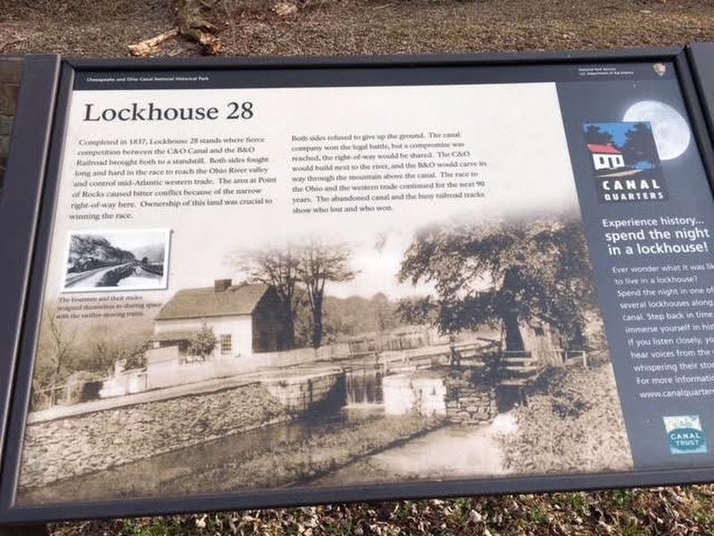
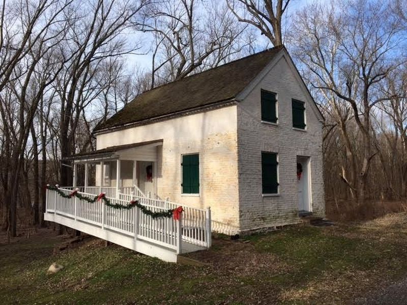
Completed in 1837, Lockhouse 28 stands where fierce competition between the C&O Canal and the B&O Railroad brought both to a standstill. Both sides fought long and hard in the race to reach the Ohio River valley and control mid-Atlantic western trade. The area at Point of Rocks caused bitter conflicts because of the narrow right-of-way here. Ownership of this land was crucial to winning the race.
Both sides refused to give up ground. The canal company won the legal battle, but a compromise was reached, the right-of-way would be shared. The C&O would build next to the river, and the B&O would carve its way through the mountain above the canal. The race to the Ohio and western trade continued for the next 90 years. The abandoned canal and the busy railroad tracks show who lost and who won.
Erected by National Park Service, U.S. Department of the Interior.
Topics and series. This historical marker is listed in these topic lists: Railroads & Streetcars • Waterways & Vessels. In addition, it is included in the Baltimore and Ohio Railroad (B&O), and the Chesapeake and Ohio (C&O) Canal series lists. A significant historical year for this entry is 1837.
Location. 39° 16.901′ N, 77° 32.861′ W. Marker is near Point of Rocks, Maryland
Other nearby markers. At least 8 other markers are within walking distance of this marker. A Canal Home (within shouting distance of this marker); Battle at Point of Rocks (approx. 0.6 miles away); Point of Rocks (approx. 0.6 miles away); a different marker also named Point of Rocks (approx. 0.6 miles away); a different marker also named Point of Rocks (approx. 0.7 miles away); a different marker also named Point of Rocks (approx. 0.7 miles away); a different marker also named Point of Rocks (approx. 0.7 miles away); a different marker also named Point of Rocks (approx. 0.7 miles away). Touch for a list and map of all markers in Point of Rocks.
Also see . . . C&O Canal Trust: Canal Quarters. Lockhouse 28 is one of six lockhouses that are available to reserve for overnight stays. (Submitted on January 9, 2017, by Brandon Stahl of Fairfax, Virginia.)
Credits. This page was last revised on May 28, 2023. It was originally submitted on January 8, 2017, by Brandon Stahl of Fairfax, Virginia. This page has been viewed 593 times since then and 20 times this year. Photos: 1, 2, 3. submitted on January 8, 2017, by Brandon Stahl of Fairfax, Virginia. • Bill Pfingsten was the editor who published this page.


