McLean in Fairfax County, Virginia — The American South (Mid-Atlantic)
Chesterbrook
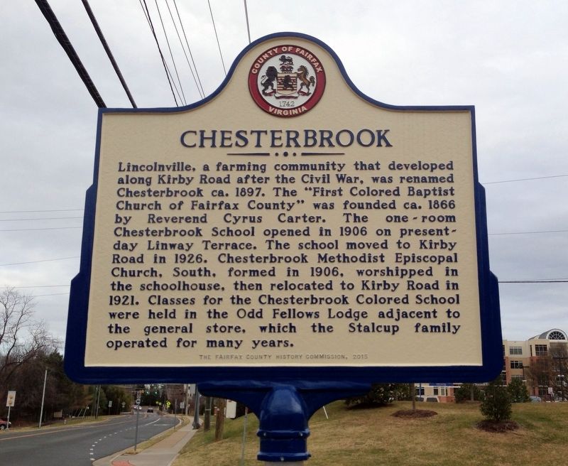
December 27, 2016
1. Chesterbrook Marker
Erected 2015 by The Fairfax County History Commission.
Topics and series. This historical marker is listed in these topic lists: African Americans • Education • Religion & Religious Structures • Settlements & Settlers. In addition, it is included in the Virginia, Fairfax County History Commission series list.
Location. 38° 55.188′ N, 77° 9.301′ W. Marker is in McLean, Virginia, in Fairfax County. It is at the intersection of Kirby
this page online

Regionally, this marker is in the Washington Metropolitan Area and in Northern Virginia. It is also in the American South, specifically in the Upper South, in the Mid-Atlantic, and on the Eastern Seaboard. Globally, it is in the North Atlantic Region, North America, the Western Hemisphere, the Western World, and the Anglosphere. Historically, it finds itself in what was once the territory of the Mississippian Culture, one of the original Thirteen Colonies, one of the Confederate States of America, and the Antebellum South.
Other nearby markers. At least 8 other markers are within 2 miles of this marker, measured as the crow flies: William Watters (approx. half a mile away); Original Federal Boundary Stone, District of Columbia, Northwest 2 (approx. 0.6 miles away); Original Federal Boundary Stone, District of Columbia, Northwest 1 (approx. 1.1 miles away); John Saegmuller House (approx. 1.2 miles away); Little Falls Road
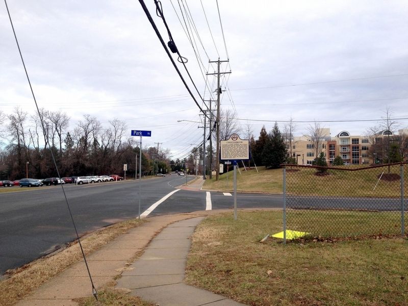
December 27, 2016
2. Chesterbrook Marker
Credits. This page was last revised on July 7, 2021. It was originally submitted on January 16, 2017. This page has been viewed 1,165 times since then and 64 times this year. Photos: 1, 2. submitted on January 16, 2017. • Bernard Fisher was the editor who published this page.
