San Juan Bautista in San Benito County, California — The American West (Pacific Coastal)
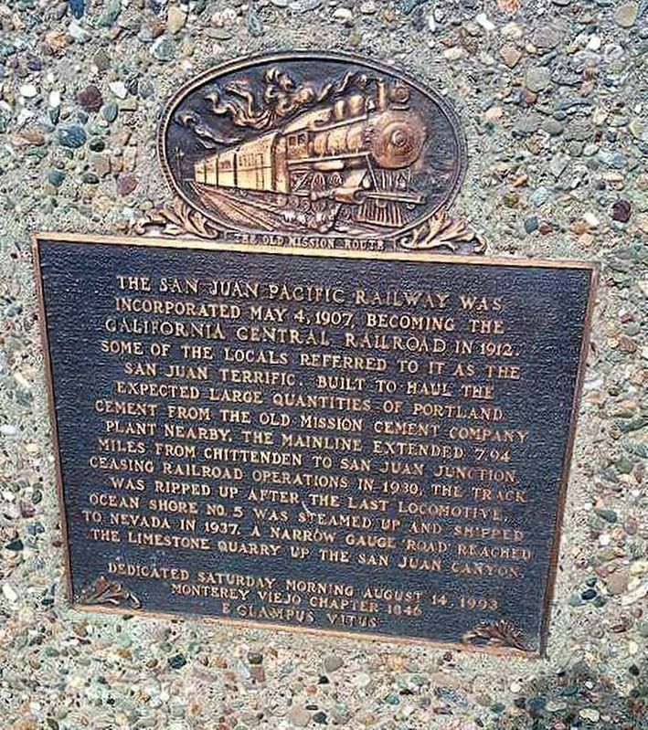
San Juan Pacific Railway
Erected 1993 by Monterey Viejo Chapter 1846 E Clampus Vitus.
Topics and series. This historical marker is listed in this topic list: Railroads & Streetcars. In addition, it is included in the E Clampus Vitus series list. A significant historical date for this entry is May 4, 1907.
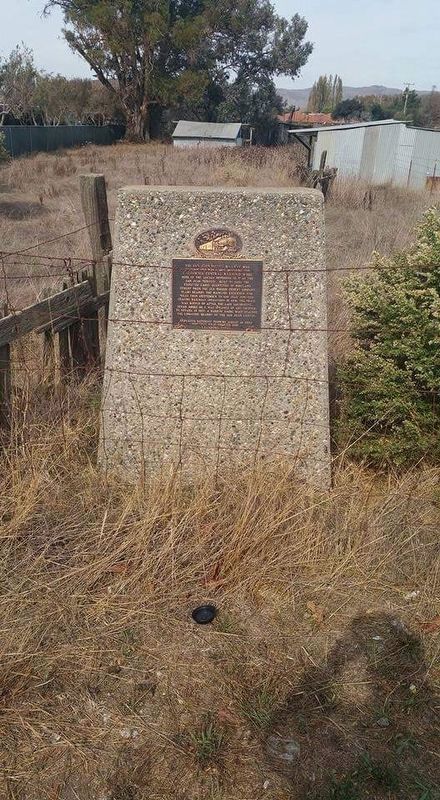
Location. 36° 50.352′ N, 121° 31.895′ W. Marker is in San Juan Bautista, California, in San Benito County. Marker is on Old San Juan Hollister Road east of The Alameda, on the left when traveling east. Touch for map. Marker is in this post office area: San Juan Bautista CA 95045, United States of America. Touch for directions.
Other nearby markers. At least 8 other markers are within walking distance of this marker. Anza House (approx. 0.4 miles away); Town Jail (approx. 0.4 miles away); Native Daughters Adobe (approx. 0.4 miles away); Castro - Breen Adobe (approx. 0.4 miles away); Veterans of the World War (approx. 0.4 miles away); Vicky’s Cottage (approx. half a mile away); Castro/Breen Adobe and Plaza Hotel (approx. half a mile away); San Juan Bautista Plaza Historic District (approx. half a mile away). Touch for a list and map of all markers in San Juan Bautista.
Credits. This page was last revised on January 17, 2017. It was originally submitted on January 17, 2017, by Frank Gunshow Sanchez of Hollister, California. This page has been viewed 465 times since then and 21 times this year. Photos: 1, 2. submitted on January 17, 2017, by Frank Gunshow Sanchez of Hollister, California. • Syd Whittle was the editor who published this page.

