LaGrange in Brevard County, Florida — The American South (South Atlantic)
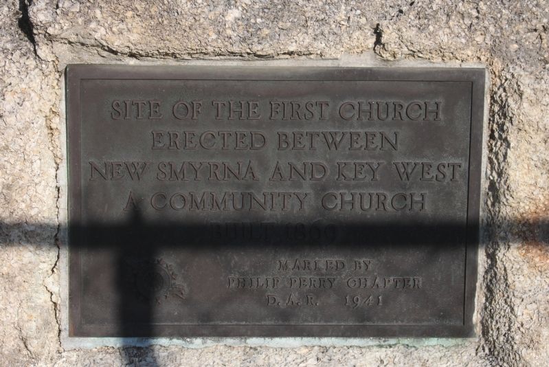
Site of the First Church
Photographed by Tim Fillmon, December 22, 2016
1. Site of First Church Marker
erected between New Smyrna and Key West
A community church
Erected 1941 by Phillip Perry Chapter D.A.R.
Topics and series. This historical marker is listed in this topic list: Religion & Religious Structures. In addition, it is included in the Daughters of the American Revolution (DAR) series list.
Location. 28° 38.374′ N, 80° 50.225′ W. Marker is in LaGrange, Florida, in Brevard County. It is at the intersection of Old Dixie Highway and Briarwood Lane, on the left when traveling south on Old Dixie Highway. Touch for map. Marker is at or near this postal address: 1575 Old Dixie Highway, Titusville FL 32796, United States of America. Touch for directions.

Regionally, this marker is in the Space Coast. It is also in the American South and on the Eastern Seaboard. Globally, it is in the North Atlantic Region, North America, a Gulf of Mexico state, the Western Hemisphere, the Western World, and the Anglosphere. Historically, it finds itself in what was once New Spain, the territory of the Mississippian Culture, one of the Confederate
this page online
Other nearby markers. At least 8 other markers are within one mile of this marker, measured as the crow flies: LaGrange Community Church (here, next to this marker); LaGrange Community Cemetery (within shouting distance of this marker); LaGrange/Mims Community Cemetery (about 500 feet away, measured in a direct line); Oliver's Camp (approx. 0.7 miles away); Voting Rights Act (approx. 1.1 miles away); Freedom Riders (approx. 1.1 miles away); March On Washington (approx. 1.1 miles away); Groveland Four (approx. 1.1 miles away).
Related marker. Click here for another marker that is related to this marker.
Photographed by Tim Fillmon, December 22, 2016
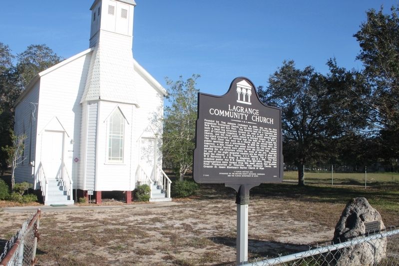
2. Site of First Church Marker with state marker and church
Photographed by Tim Fillmon, December 22, 2016
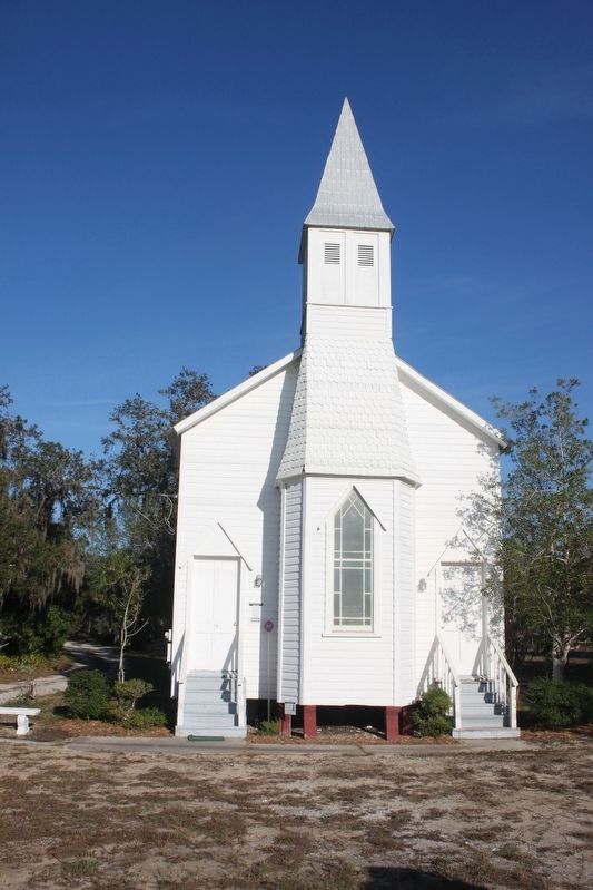
3. Site of First Church
Credits. This page was last revised on July 27, 2017. It was originally submitted on February 1, 2017, by Tim Fillmon of Webster, Florida. This page has been viewed 491 times since then and 23 times this year. Photos: 1, 2, 3. submitted on February 1, 2017, by Tim Fillmon of Webster, Florida. • Bernard Fisher was the editor who published this page.
