Near Hayes in Stanley County, South Dakota — The American Midwest (Upper Plains)
Plum Creek Waterhole
Photographed by Ruth VanSteenwyk, August 15, 2016
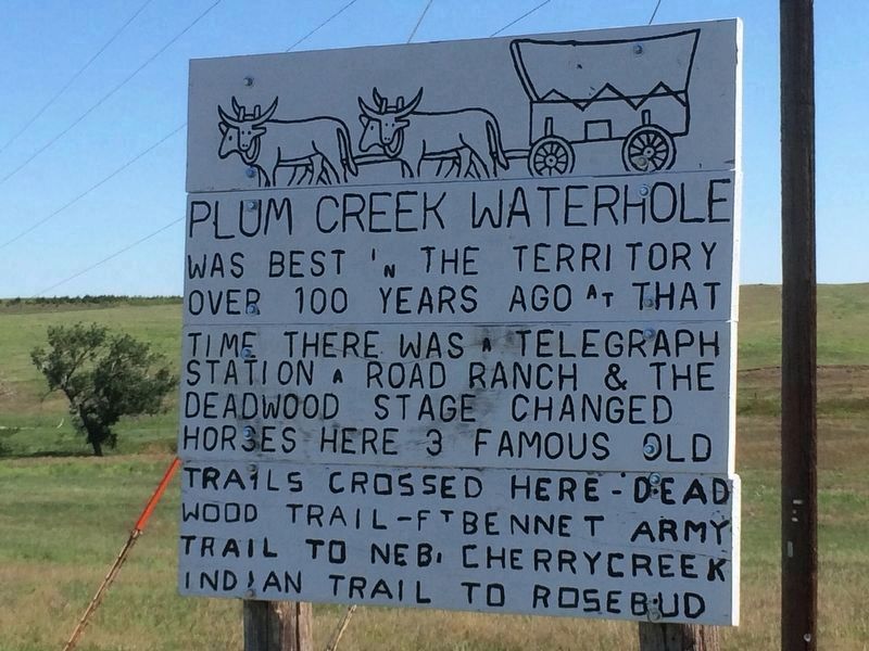
1. Plum Creek Waterhole
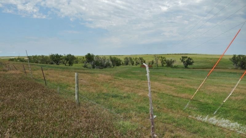
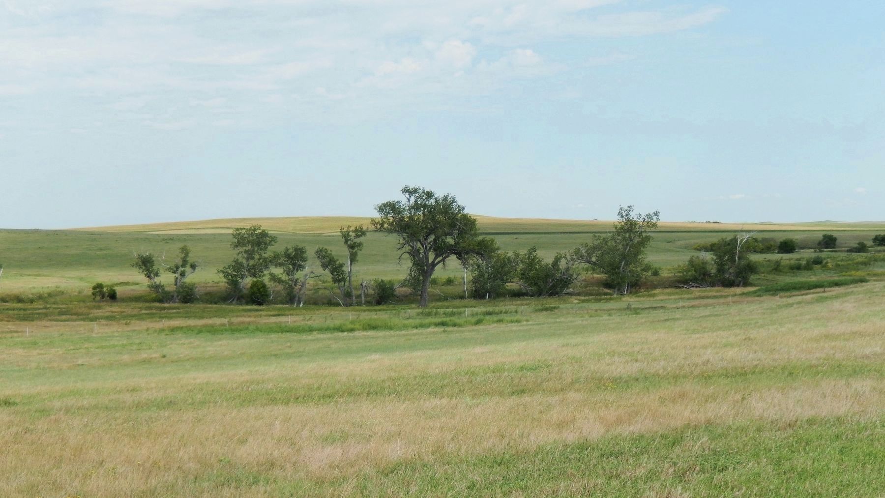
was best in the territory over 100 years ago. At that time there was a telegraph station, a road ranch, & the Deadwood Stage changed horses here. 3 famous old trails crossed here - Deadwood Trail - Ft Bennet Army trail to Neb. - Cherrycreek Indian Trail to Rosebud.
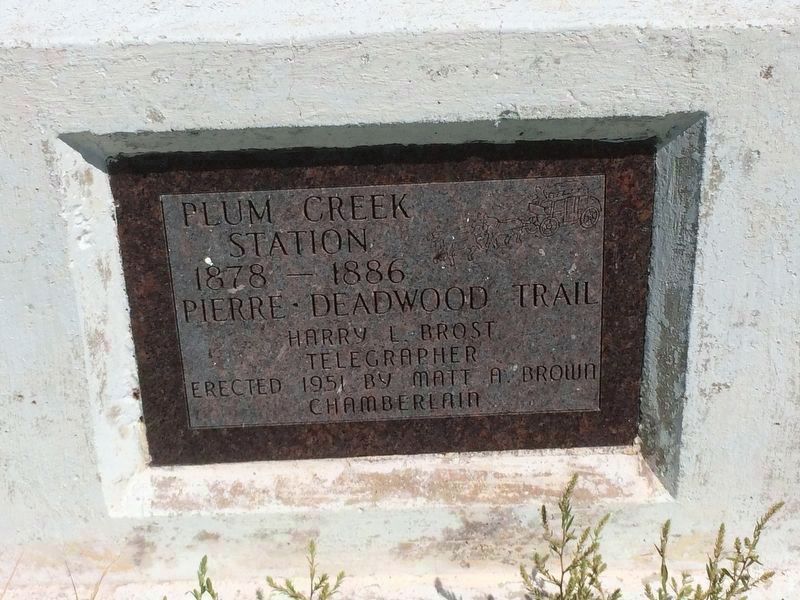
Erected 1951 by Matt A. Brown Chamberlain.
Topics. This historical marker is listed in this topic list: Settlements & Settlers.
Location. 44° 20.457′ N, 101° 7.653′ W. Marker is near Hayes, South Dakota, in Stanley County. It is on U.S. 14 2 miles south of State Route 34, on the left when traveling south. Touch for map. Marker is in this post office area: Hayes SD 57537, United States of America. Touch for directions.

Regionally, this marker is in East River. It is also in the American Lewis & Clark Corridor, on the prairies, and on the Northern Plains. Globally, it is in North America, the Western Hemisphere, the Western World, and the Anglosphere. Historically, it finds itself in what was once Rupert’s Land and also the Louisiana Purchase.
Other nearby markers. At least 6 other markers
this page online
Photographed by Ruth VanSteenwyk, August 15, 2016
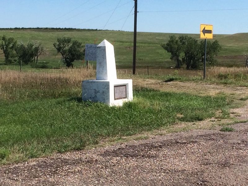
2. Plum Creek Waterhole & Station Marker
Photographed by Ruth VanSteenwyk, August 15, 2016
3. Plum Creek Station Marker
Pierre Deadwood Trail
1878 - 1886
Harry L. Brost
Telegrapher
Photographed by Ruth VanSteenwyk, August 15, 2016
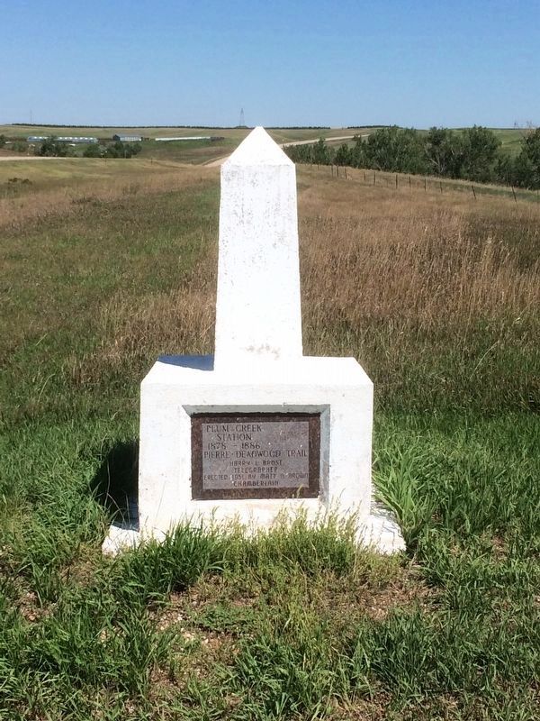
4. Plum Creek Station Marker
Photographed by Cosmos Mariner, August 18, 2016
5. Plum Creek & Plum Creek Waterhole (view northeast from marker)
Photographed by Cosmos Mariner, August 18, 2016
6. Plum Creek & Plum Creek Waterhole (view east, downhill, from marker)
Credits. This page was last revised on October 16, 2018. It was originally submitted on February 5, 2017, by Ruth VanSteenwyk of Aberdeen, South Dakota. This page has been viewed 1,041 times since then and 57 times this year. Photos: 1, 2, 3, 4. submitted on February 5, 2017, by Ruth VanSteenwyk of Aberdeen, South Dakota. 5, 6. submitted on October 3, 2018, by Cosmos Mariner of Cape Canaveral, Florida. • Bill Pfingsten was the editor who published this page.
