Appleton in Swift County, Minnesota — The American Midwest (Upper Plains)
Flour Mill
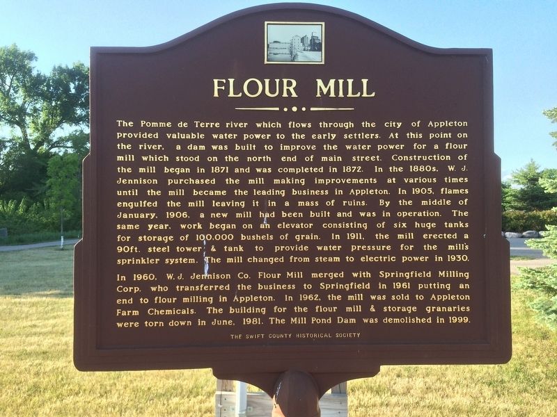
The Pomme de Terre river which flows through the city of Appleton provided valuable water power to the early settlers. At this point on the river, a dam was built to improve the water power for a flour mill which stood on the north end of main street. Construction of the mill began in 1871 and was completed in 1872. In the 1880s, W.J. Jennison purchased the mill making improvements as various times until the mill became the leading business in a Appleton. In 1905, flames engulfed the mill leaving it in a mass of ruins. By the middle of January, 1906, a new mill had been built and was in operation. The same year, work began on an elevator consisting of six huge tanks for storage of 100,000 bushels of grain. In 1911, the mill erected a 90 ft. steel tower & tank to provide water pressure for the mill's sprinkler system. The mill changed from steam to electric power in 1930.
In 1960, W.J. Jennison Co. Flour Mill merged with Springfield Milling Corp. who transferred the business to Springfield in 1961 putting an end to flour milling in Appleton. In 1962, the mill was sold to Appleton Farm Chemicals. The building for the flour mill & storage granaries were torn down in June, 1981. The Mill Pond Dam was demolished in 1999.
Erected by The Swift County Historical Society.
Topics. This historical marker is listed in this topic list: Industry & Commerce. A significant historical month for this entry is January 1906.
Location. 45° 12.203′ N, 96° 1.138′ W. Marker is in Appleton, Minnesota, in Swift County. Marker is at the intersection of N Miles St and W Veum Ave on N Miles St. Touch for map. Marker is in this post office area: Appleton MN 56208, United States of America. Touch for directions.
Other nearby markers. At least 8 other markers are within 15 miles of this marker, measured as the crow flies. Fort Renville (approx. 13.7 miles away); Riggs & Pettijohn Cabins (approx. 14.4 miles away); The Dakota (approx. 14.4 miles away); Huggins Cabin (approx. 14.4 miles away); Dakotas at Lac qui Parle (approx. 14.4 miles away); Missionaries at Lac qui Parle (approx. 14.4 miles away); The ABCFM (approx. 14.4 miles away); Acculturation & Autonomy (approx. 14˝ miles away).
Credits. This page was last revised on February 8, 2017. It was originally submitted on February 5, 2017, by Ruth VanSteenwyk of Aberdeen, South Dakota. This page has been viewed 817 times since then and 16 times this year. Photos: 1, 2. submitted on February 5, 2017, by Ruth VanSteenwyk of Aberdeen, South Dakota. • Bill Pfingsten was the editor who published this page.

