
Valladolid, Yucatán, Mexico — The Southeast (Yucatan Peninsula)
The Valladolid Artisans' Market
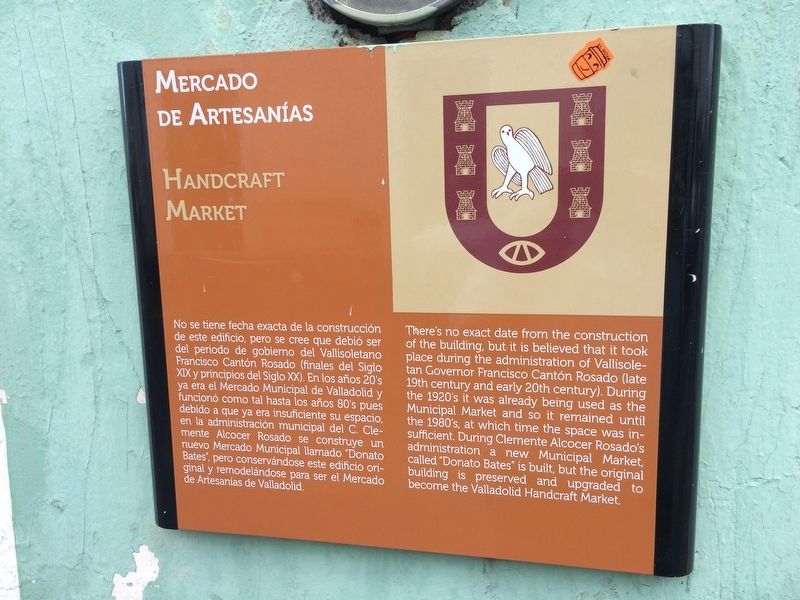
Photographed by J. Makali Bruton, January 13, 2017
1. The Valladolid Artisans' Market Marker
English:
this page online
Topics. This historical marker is listed in this topic list: Industry & Commerce.
Location. 20° 41.448′ N, 88° 12.21′ W. Marker is in Valladolid, Yucatán. It is on Calle 39 just east of Calle 44, on the right when traveling west. Touch for map. Marker is in this post office area: Valladolid YU 97780, Mexico. Touch for directions.

Regionally, this marker is in the Mexican Gulf Coast, in the Maya Heartland, and on the Yucatán Peninsula. Globally, it is in North America, Mesoamerica, a Gulf of Mexico state, and the Western Hemisphere. Historically, it finds itself in what was once New Spain and also a Spanish colony.
Other nearby markers. At least 8 other markers are within walking distance of this marker: House of Governor Francisco Canton Rosado (about 120 meters away, measured in a direct line); The Catholic Parsonage of Valladolid (about 150 meters away); Birth House of Delio Moreno Cantón (about 150 meters away); Regional Artisans' Center “Zací” (about 180 meters away); Francisco Cantón Rosado Park
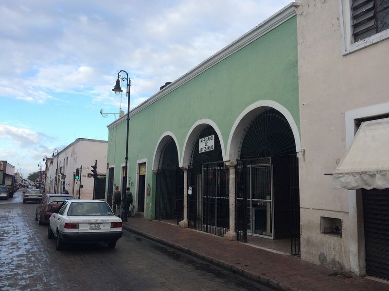
Photographed by J. Makali Bruton, January 13, 2017
2. The Valladolid Artisans' Market Marker
Credits. This page was last revised on February 6, 2017. It was originally submitted on February 6, 2017, by J. Makali Bruton of Washington, District of Columbia. This page has been viewed 609 times since then and 23 times this year. Photos: 1, 2. submitted on February 6, 2017, by J. Makali Bruton of Washington, District of Columbia.
