Auburn in Placer County, California — The American West (Pacific Coastal)
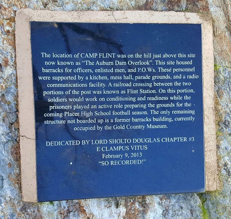
Location of Camp Flint
Photographed by Francisco Sanchez Ruiz
1. Location of Camp Flint Marker
Erected 2013 by Lord Sholto Douglas Chapter #3 E Clampus Vitus.
Topics and series. This historical marker is listed in this topic list: War, World II. In addition, it is included in the E Clampus Vitus series list.
Location. 38° 53.478′ N, 121° 4.362′ W. Marker is in Auburn, California, in Placer County. It can be reached from Fairgate Road near Auburn/Folsom Road. Marker is located inside the Gold Country
this page online

Regionally, this marker is in the Sacramento Metro and in the Sierra Nevada. It is also in the American Mountain West. Globally, it is in North America, on the Ring of Fire, on the Pacific Rim, in the Western Hemisphere, in the Western World, and in the Anglosphere. Historically, it finds itself in what was once New Spain and also Mexico’s Alta California.
Other nearby markers. At least 8 other markers are within walking distance of this marker: Placer County Museum (here, next to this marker); Camp Flint (here, next to this marker); Travelers’ Rest (approx. 0.2 miles away); The Little Fair That Wouldn't Die (approx. 0.2 miles away); Gietzen Fire Station (approx. 0.3 miles away); Gold Bug Stamp Mill (approx. 0.3 miles away); Chinese Houses (approx. 0.3 miles away); The Historic Cooper Amphitheater (approx. 0.3 miles away). Touch for a list and map of all markers in Auburn.
Photographed by Francisco Sanchez Ruiz, February 11, 2017
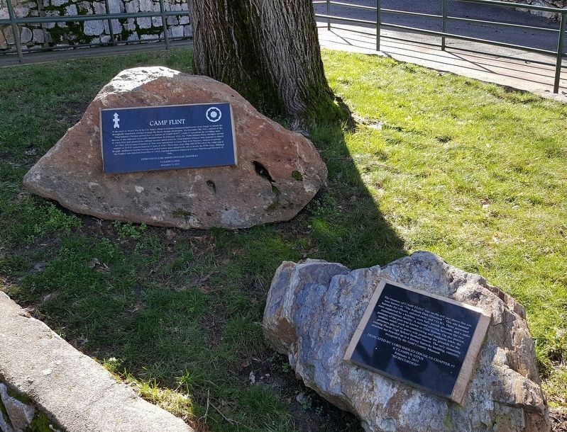
2. Location of Camp Flint Marker
The nearby "Camp Flint" marker is seen on the left.
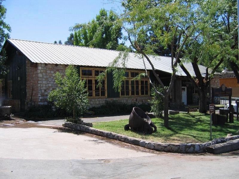
3. The Gold Country Museum Building
Credits. This page was last revised on February 17, 2017. It was originally submitted on February 12, 2017, by Frank Gunshow Sanchez of Hollister, California. This page has been viewed 1,285 times since then and 90 times this year. Photos: 1, 2. submitted on February 12, 2017, by Frank Gunshow Sanchez of Hollister, California. 3. submitted on February 17, 2017. • Syd Whittle was the editor who published this page.
