Fort Bliss in El Paso County, Texas — The American South (West South Central)
Initial Construction Period
1891 - 1899
— Fort Bliss Main Post Historic District —
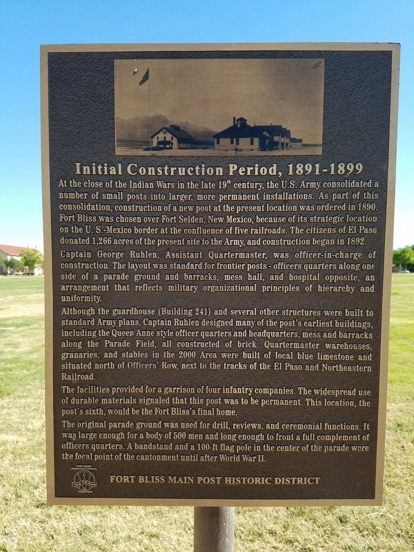
Captain George Ruhlen, Assistant Quartermaster, was officer-in-charge of construction. The layout was standard for frontier posts – officers quarters along one side of a parade ground and barracks, mess hall, and hospital opposite, an arrangement that reflects military organizational principles of hierarchy and uniformity.
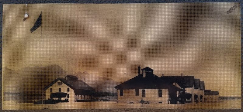
Although the guardhouse (Building 241) and several other structures were built to standard Army plans, Captain Ruhlen designed many of the post’s earliest buildings, including the Queen Anne style officer quarters and headquarters, mess and barracks along the Parade Field, all constructed of brick. Quartermaster warehouses, granaries, and stables in the 2000 Area were built of local blue limestone and situated north of Officers’ Row, next to the tracks of the El Paso and Northeastern Railroad.
The facilities provided for a garrison of four infantry companies. The widespread use of durable materials signaled that this post was to be permanent. This location, the post’s sixth, would be the Fort Bliss’s final home.
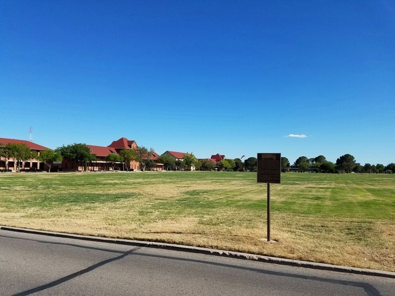
The original parade ground was used for drill, reviews, and ceremonial function. It was large enough for a body of 500 men and long enough to front a full complement of officers quarter. A bandstand and a 100-ft flag pole in the center of the parade were the focal point of the cantonment until after World War II.
Erected by Fort Bliss.
Topics. This historical marker is listed in this topic list: Military. A significant historical year for this entry is 1890.
Location. 31° 48.622′ N, 106° 26.209′ W. Marker is in Fort Bliss, Texas, in El Paso County. Marker can be reached from Sheridan Road near Pershing Road, on the right when traveling north. On the side of the crossover road between Sheridan Road and Pershing Road. Touch for map. Marker is in this post office area: Fort Bliss TX 79916, United States of America. Touch for directions.
Other nearby markers. At least 8 other markers are within walking distance of this marker. Quarters 236 Sheridan (within shouting distance of this marker); First Expansion Period (about 300 feet away, measured in a direct line); Historical Building 241 - The Guardhouse, 1893 (about 500 feet away); Joshua Micah Mills
(about 600 feet away); Colonel George Ruhlen (about 700 feet away); William Wallace Smith Bliss Monument (approx. 0.2 miles away); Polk House (approx. 0.3 miles away); Abrams House (approx. 0.3 miles away). Touch for a list and map of all markers in Fort Bliss.
Credits. This page was last revised on May 6, 2017. It was originally submitted on February 12, 2017, by Kevin W. of Stafford, Virginia. This page has been viewed 242 times since then and 15 times this year. Photos: 1. submitted on February 12, 2017, by Kevin W. of Stafford, Virginia. 2, 3. submitted on May 6, 2017, by Kevin W. of Stafford, Virginia.


