Chamberlain in Brule County, South Dakota — The American Midwest (Upper Plains)
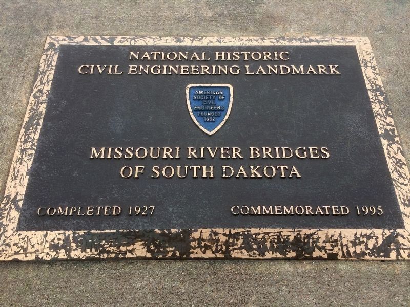
Missouri River Bridges of South Dakota
National Historic Civil Engineering Landmark
Inscription.
Commemorated 1995
Topics and series. This historical marker is listed in this topic list: Bridges & Viaducts. In addition, it is included in the ASCE Civil Engineering Landmarks series list. A significant historical year for this entry is 1927.
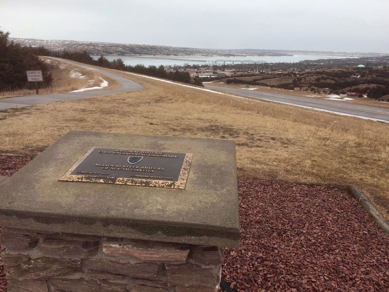
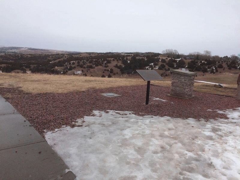
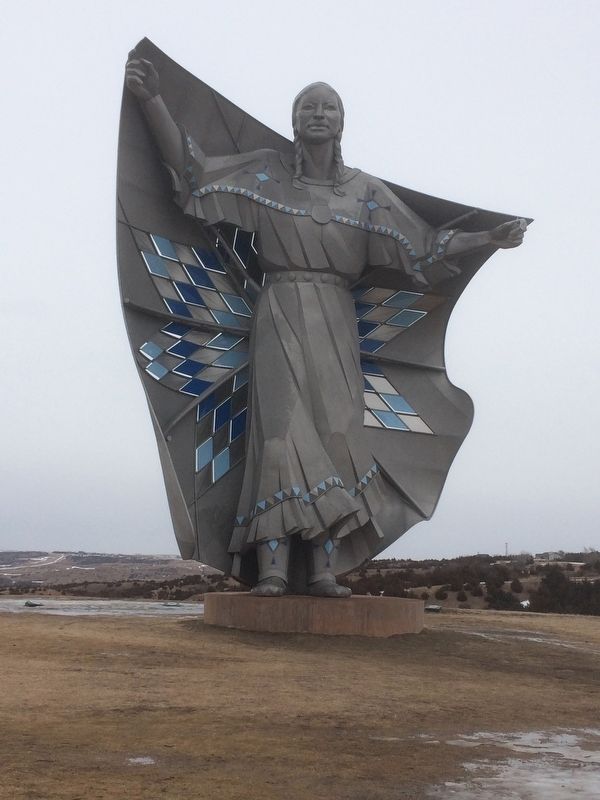
Location. 43° 47.227′ N, 99° 20.302′ W. Marker is in Chamberlain, South Dakota, in Brule County. Marker can be reached from Interstate 90 at milepost 263. Marker is about 100 ft up a trail near the Dignity Statue. Touch for map. Marker is in this post office area: Chamberlain SD 57325, United States of America. Touch for directions.
Other nearby markers. At least 8 other markers are within walking distance of this marker. Lewis and Clark Bicentennial 1804-2004 (here, next to this marker); Dignity (within shouting distance of this marker); The Making & Meaning of Dignity (within shouting distance of this marker); Sojourn at Camp Pleasant (about 300 feet away, measured in a direct line); Purple Heart Memorial Highway (about 400 feet away); Mount Rushmore National Memorial (about 400 feet away); State Capitol - Pierre (about 400 feet away); World's Only Corn Palace - Mitchell (about 400 feet away). Touch for a list and map of all markers in Chamberlain.
Credits. This page was last revised on February 14, 2017. It was originally submitted on February 13, 2017, by Ruth VanSteenwyk of Aberdeen, South Dakota. This page has been viewed 552 times since then and 20 times this year. Last updated on February 13, 2017, by Ruth VanSteenwyk of Aberdeen, South Dakota. Photos: 1, 2, 3, 4. submitted on February 13, 2017, by Ruth VanSteenwyk of Aberdeen, South Dakota. • Kevin W. was the editor who published this page.


