Watrousville in Tuscola County, Michigan — The American Midwest (Great Lakes)
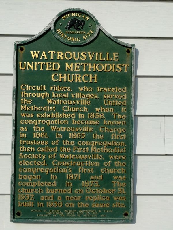
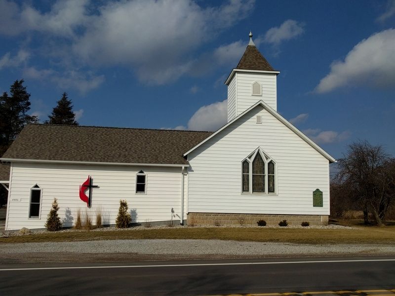
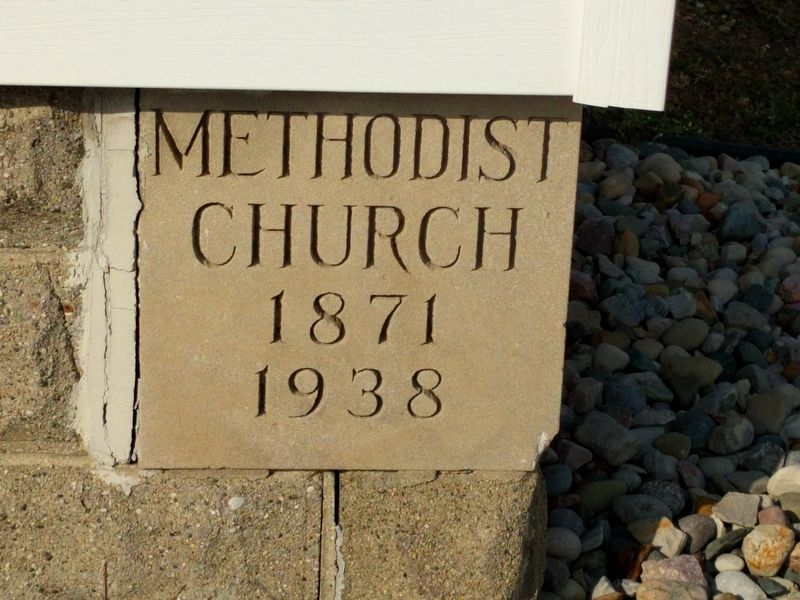
Watrousville United Methodist Church
Erected 1987 by Bureau of History, Michigan Department of State. (Marker Number L1425.)
Topics and series. This historical marker is listed in this topic list: Churches & Religion. In addition, it is included in the Michigan Historical Commission series list. A significant historical date for this entry is October 31, 1937.
Location. 43° 27.131′ N, 83° 31.249′ W. Marker is in Watrousville, Michigan, in Tuscola County. Marker is at the intersection of West Caro Road (State Highway 81) and South Ridge Road, on the right when traveling west on West Caro Road. Watrousville is an unincorporated community about 6 miles west of Caro. Touch for map. Marker is at or near this postal address: 4446 West Caro Road, Caro MI 48723, United States of America. Touch for directions.
Other nearby markers. At least 8 other markers are within 7 miles of this marker, measured as the crow flies. Juniata House (approx. ¼ mile away); Watrous General Store (approx. ¼ mile away); Gilford United Methodist Church (approx. 5.9 miles away); Vassar's Logging Era (approx. 6.4 miles away); Peninsular Sugar Refining Company (approx. 6.6 miles away); William H. Carson House (approx. 6.7 miles away); Trinity Episcopal Church (approx. 6.7 miles away); First Meeting of the Caro Rotary Club (approx. 6.7 miles away). Touch for a list and map of all markers in Watrousville.
Credits. This page was last revised on February 26, 2017. It was originally submitted on February 26, 2017, by Joel Seewald of Madison Heights, Michigan. This page has been viewed 276 times since then and 22 times this year. Photos: 1, 2, 3. submitted on February 26, 2017, by Joel Seewald of Madison Heights, Michigan.


