
Caro in Tuscola County, Michigan — The American Midwest (Great Lakes)
Tuscola County Advertiser
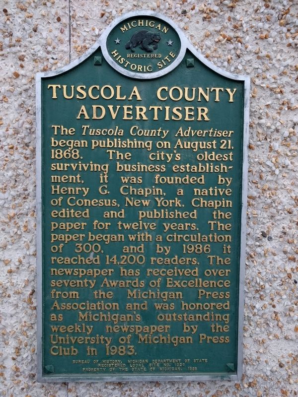
Photographed by Joel Seewald, February 22, 2017
1. Tuscola County Advertiser Marker
Erected 1986 by Bureau of History, Michigan Department of State. (Marker Number L1326.)
Topics and series. This historical marker is listed in these topic lists: Communications • Industry & Commerce. In addition, it is included in the Michigan Historical Commission series list. A significant historical date for this entry is August 21, 1868.
Location. 43° 29.438′ N, 83° 23.645′ W. Marker is in Caro, Michigan, in Tuscola County. It is on North State Sreet (State Highway 81), on the right when traveling east. Marker is halfway between East Burnside Street and East Sherman Street. Touch for map. Marker
this page online

Regionally, this marker is on Michigan’s Thumb. It is also in the American Midwest. Globally, it is in North America, the Western Hemisphere, the Western World, and the Anglosphere. Historically, it finds itself in what was once the Northwest Territory.
Other nearby markers. At least 8 other markers are within walking distance of this marker: Embark (within shouting distance of this marker); Tuscola County Courthouse (within shouting distance of this marker); Tuscola County Veterans Memorial (within shouting distance of this marker); Eastern White Pine (about 300 feet away, measured in a direct line); Caro Masonic Temple (about 600 feet away); First Presbyterian Church of Caro (approx. 0.2 miles away); First Meeting of the Caro Rotary Club (approx. 0.2 miles away); Trinity Episcopal Church (approx. ¼ mile away). Touch for a list and map of all markers in Caro.
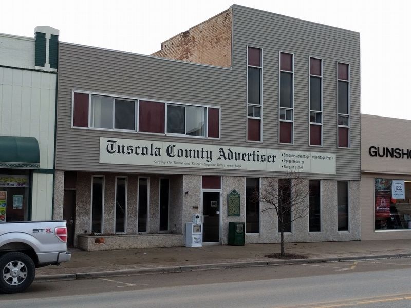
Photographed by Joel Seewald, February 22, 2017
2. Tuscola County Advertiser and Marker
Credits. This page was last revised on February 26, 2017. It was originally submitted on February 26, 2017, by Joel Seewald of Madison Heights, Michigan. This page has been viewed 735 times since then and 40 times this year. Photos: 1, 2. submitted on February 26, 2017, by Joel Seewald of Madison Heights, Michigan.
