
DeLeon Springs in Volusia County, Florida — The American South (South Atlantic)
DeLeon Springs Colored School
Photographed by Tim Fillmon, March 1, 2017
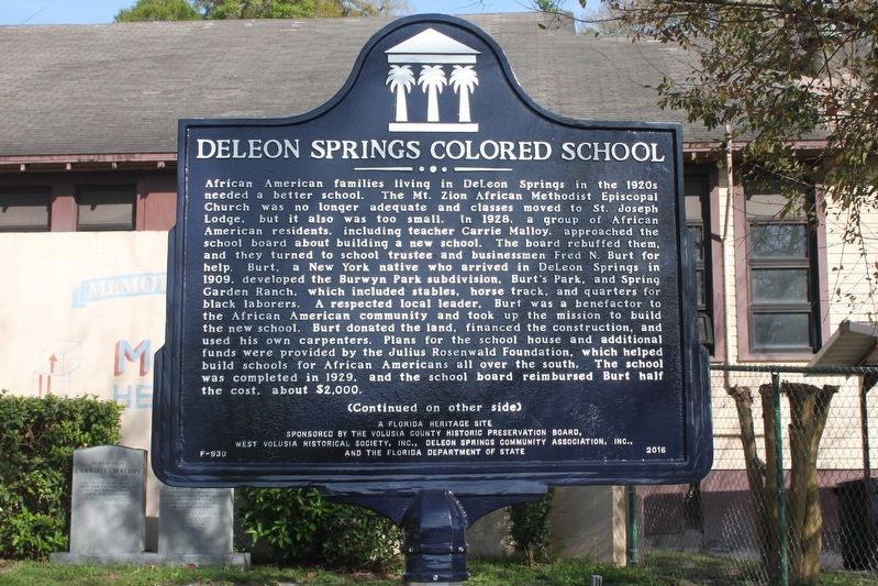
1. DeLeon Springs Colored School Marker Side 1
African American families living in DeLeon Springs in the 1920s needed a better school. The Mt. Zion African Methodist Episcopal Church was no longer adequate and classes moved to St. Joseph Lodge, but it also was too small. In 1928, a group of African American residents, including teacher Carrie Malloy, approached the school board about building a new school. The board rebuffed them, and they turned to school trustee and businessman Fred N. Burt for help. Burt, a New York native who arrived in DeLeon Springs in 1909, developed the Burwyn Park subdivision, Burt's Park, and Spring Garden Ranch, which included stables, horse track, and quarters for black laborers. A respected local leader, Burt was a benefactor to the African American community and took up the mission to build the new school. Burt donated the land, financed the construction, and used his own carpenters. Plans for the school house and additional funds were provided by the Julius Rosenwald Foundation, which helped build schools for African Americans all over the south. The school was completed in 1929, and the school Board reimbursed Burt half the
this page online
Photographed by Tim Fillmon, March 1, 2017
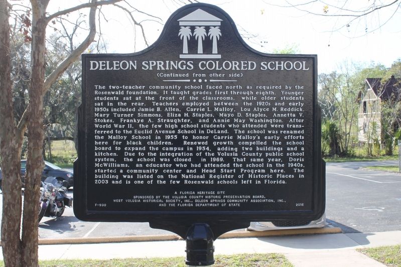
2. DeLeon Springs Colored School Marker Side 2
Erected 2016 by The Volusia County Historic Preservation Board, West Volusia Historical Society, Inc., DeLeon Springs Community Association, Inc., and the Florida Department of State. (Marker Number F-930.)
Topics and series. This historical marker is listed in these topic lists: African Americans • Education. In addition, it is included in the African Methodist Episcopal (AME) Church, and the Rosenwald Schools series lists. A significant historical year for this entry is 1928.
Location. 29° 6.851′ N, 81° 20.85′ W. Marker is in DeLeon Springs, Florida, in Volusia County. It is at the intersection of East Dundee Avenue and East Retta Street, on the right when traveling north on East Dundee Avenue. School is now the Malloy Head Start Center. Touch for map. Marker is at or near this postal address: 330 East Retta Street, De Leon Springs FL 32130, United States of America. Touch for directions.

Regionally, this marker is in Florida’s First Coast. It is also in the American South and on the Eastern Seaboard. Globally,
Photographed by Tim Fillmon, March 1, 2017
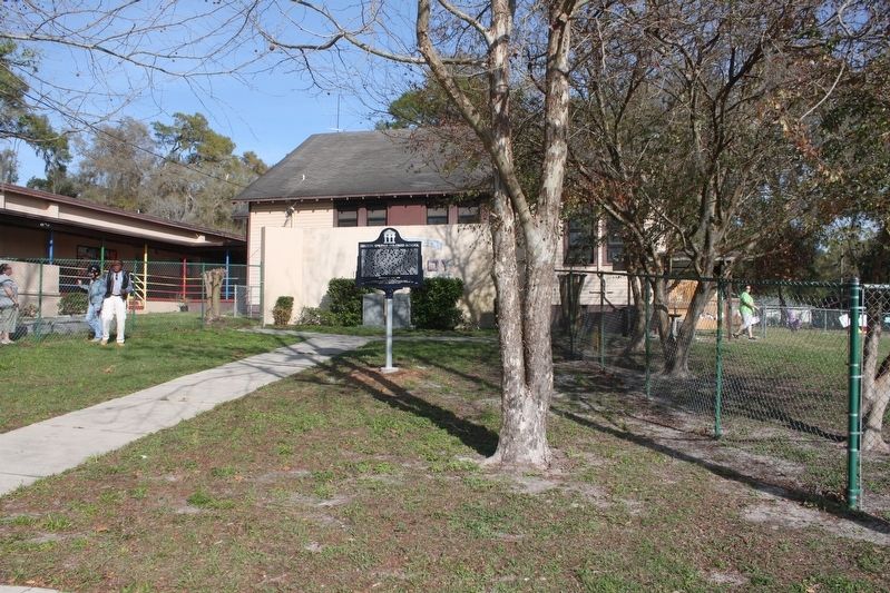
3. DeLeon Springs Colored School Marker and side of school
Other nearby markers. At least 8 other markers are within 2 miles of this marker, measured as the crow flies: Horse-Drawn Road Graders (approx. 1½ miles away); How Old Are the Live Oak Trees? (approx. 1.6 miles away); Sugar Mill Machinery (approx. 1.7 miles away); De Leon Springs Becomes a State Park (approx. 1.7 miles away); Who Built the Sugar Mill? (approx. 1.7 miles away); The Hotel Clubhouse (approx. 1.7 miles away); Ponce De Leon Springs (approx. 1.7 miles away); The Fountain of Youth (approx. 1.7 miles away).
Photographed by Tim Fillmon, March 1, 2017
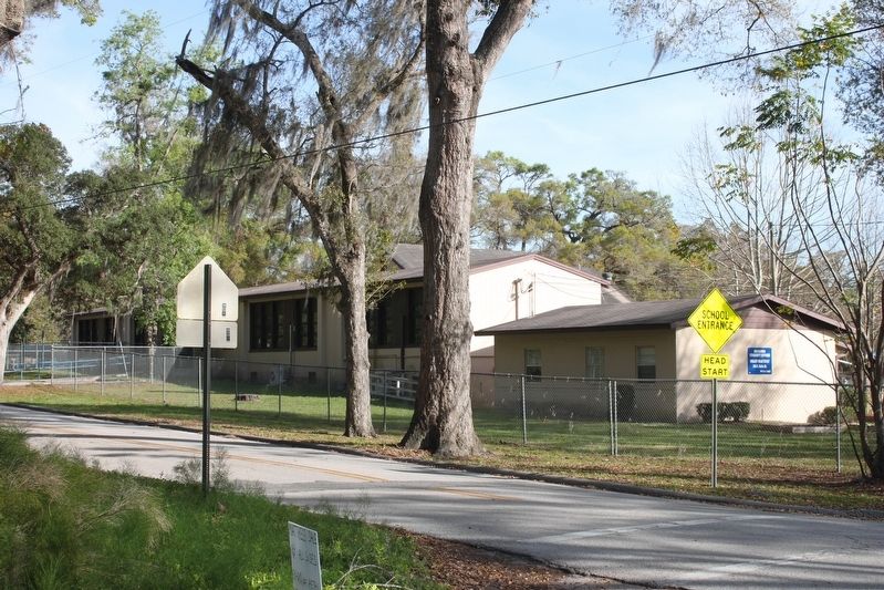
4. Front of DeLeon Springs Colored School
Credits. This page was last revised on March 3, 2017. It was originally submitted on March 3, 2017, by Tim Fillmon of Webster, Florida. This page has been viewed 1,509 times since then and 69 times this year. Photos: 1, 2, 3, 4. submitted on March 3, 2017, by Tim Fillmon of Webster, Florida. • Bernard Fisher was the editor who published this page.
