
Fort Bliss in El Paso County, Texas — The American South (West South Central)
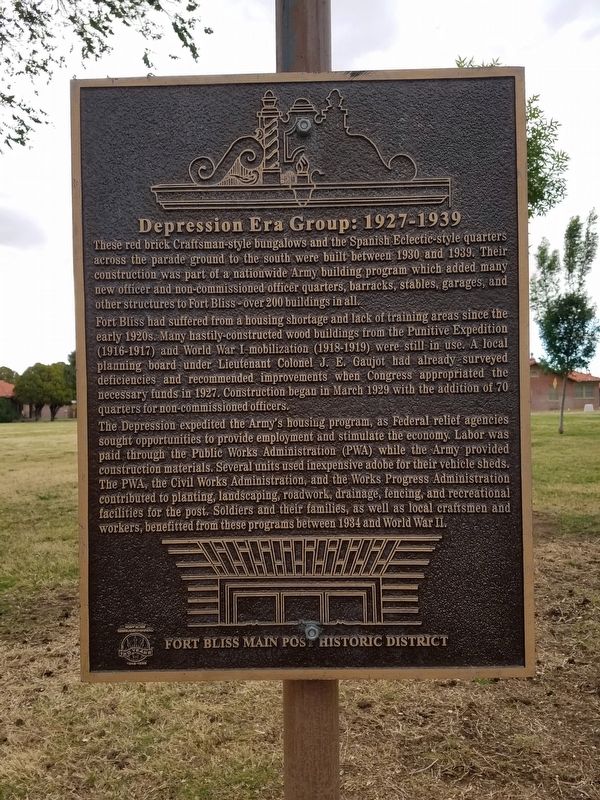
Depression Era Group: 1927 - 1939
| — | Fort Bliss Main Post Historic District | — |
Photographed by Kevin W., April 12, 2016
1. Depression Era Group: 1927 - 1939 Marker
Fort Bliss had suffered from a housing shortage and lack of training areas since the early 1920s. Many hastily-constructed wood buildings from the Punitive Expedition (1916-1917) and World War I mobilization (1918-1919) were still in use. A local planning board under Lieutenant Colonel J. E. Gaujot had already surveyed deficiencies and recommended improvements when Congress appropriated the necessary funds in 1927. Construction began in March 1929 with the addition of 70 quarters for non-commissioned officers.
The Depression expedited the Army's housing program, as Federal relief agencies sought opportunities to provide employment and stimulate the economy. Labor was paid through the Public Works Administration (PWA) while the Army provided
this page online
Erected by Fort Bliss.
Topics. This historical marker is listed in this topic list: Military. A significant historical year for this entry is 1934.
Location. 31° 48.151′ N, 106° 26.055′ W. Marker is in Fort Bliss, Texas, in El Paso County. It is on Pershing Circle, on the left when traveling west. Touch for map. Marker is in this post office area: El Paso TX 79906, United States of America. Touch for directions.

Regionally, this marker is in Texas’ Trans-Pecos & Big Bend Region. It is also in the American Southwest. Globally, it is in North America, a Gulf of Mexico state, the Western Hemisphere, the Western World, and the Anglosphere. Historically, it finds itself in what was once New Spain, the Republic of Texas,
Photographed by Kevin W., April 12, 2016
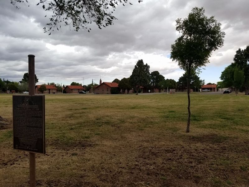
2. Depression Era Group: 1927 - 1939 Marker
Other nearby markers. At least 8 other markers are within walking distance of this marker: Pershing Circle (about 300 feet away, measured in a direct line); The Howze House (about 400 feet away); Hammett House (about 400 feet away); 1st Cavalry Division (approx. ¼ mile away); Quarters 213, Chaparral House (approx. ¼ mile away); Hinman Hall (approx. ¼ mile away); Depression Era Group, 1927-1939 (approx. ¼ mile away); Abrams House (approx. ¼ mile away). Touch for a list and map of all markers in Fort Bliss.
Credits. This page was last revised on December 17, 2024. It was originally submitted on March 4, 2017, by Kevin W. of Stafford, Virginia. This page has been viewed 774 times since then and 37 times this year. Photos: 1, 2. submitted on March 4, 2017, by Kevin W. of Stafford, Virginia.
