Salem Township near Plymouth in Washtenaw County, Michigan — The American Midwest (Great Lakes)
John Wesley Conant House
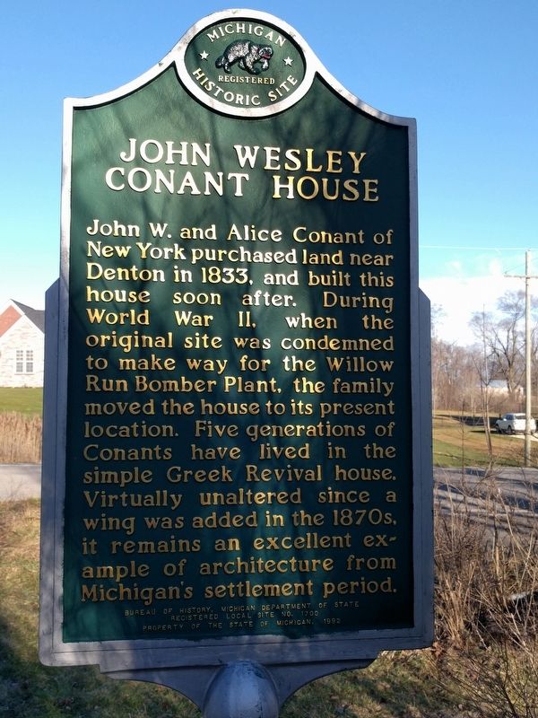
Photographed by Joel Seewald, March 7, 2017
1. John Wesley Conant House Marker
Erected 1992 by Bureau of History, Michigan Department of State. (Marker Number L1700.)
Topics and series. This historical marker is listed in these topic lists: Settlements & Settlers • War, World II. In addition, it is included in the Michigan Historical Commission series list. A significant historical year for this entry is 1833.
Location. 42° 21.807′ N, 83° 32.91′ W. Marker is near Plymouth, Michigan, in Washtenaw County. It is in Salem Township. It is at the intersection of Napier Road and Powell Road, on the right when traveling south on Napier Road. Touch for map. Marker is at or near this postal address: 5683 Napier Road, Plymouth MI 48170,
this page online

Regionally, this marker is in Southeast Michigan and in Greater Detroit. It is also in the American Midwest. Globally, it is in North America, the Western Hemisphere, the Western World, and the Anglosphere. Historically, it finds itself in what was once the Northwest Territory.
Other nearby markers. At least 8 other markers are within 4 miles of this marker, measured as the crow flies: Geer School (approx. 1.8 miles away); Robert Charles Leighton (approx. 2.6 miles away); Jarvis Stone School (approx. 3 miles away); South Salem Stone School / Dickerson Barn (approx. 3 miles away); South Salem Stone School (approx. 3 miles away); Rider House (approx. 3.3 miles away); Salem Township Veterans Memorial (approx. 3.3 miles away); Canton Pioneer Home (approx. 3.8 miles away). Touch for a list and map of all markers in Plymouth.
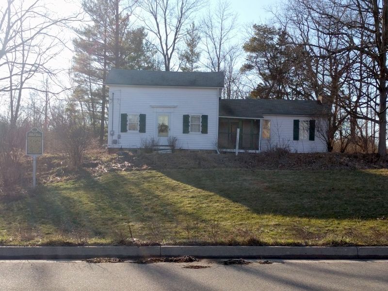
Photographed by Joel Seewald, March 7, 2017
2. John Wesley Conant House and Marker
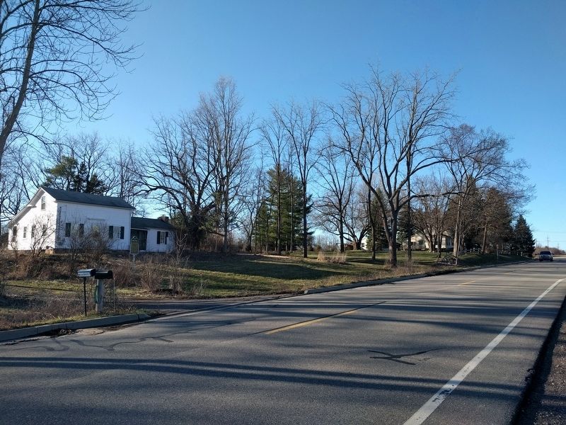
Photographed by Joel Seewald, March 7, 2017
3. John Wesley Conant House Marker
View looking north along Napier Road.
Credits. This page was last revised on February 7, 2023. It was originally submitted on March 8, 2017, by Joel Seewald of Madison Heights, Michigan. This page has been viewed 874 times since then and 49 times this year. Photos: 1, 2, 3. submitted on March 8, 2017, by Joel Seewald of Madison Heights, Michigan.
