Salem in Utah County, Utah — The American Mountains (Southwest)
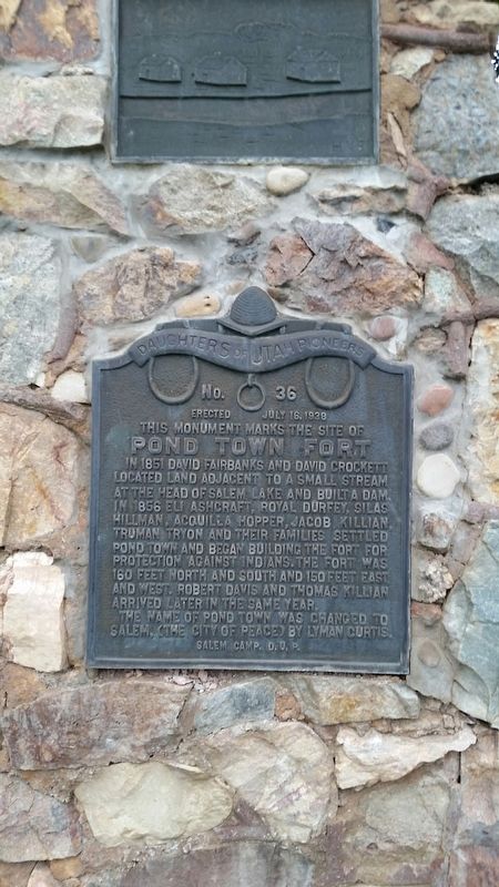
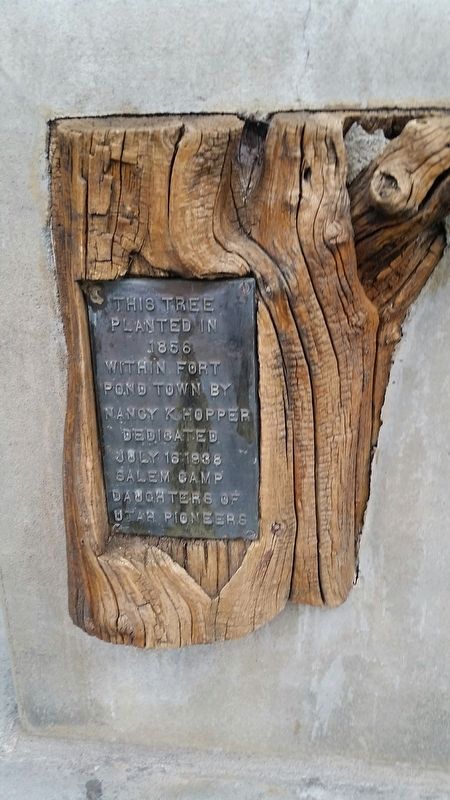
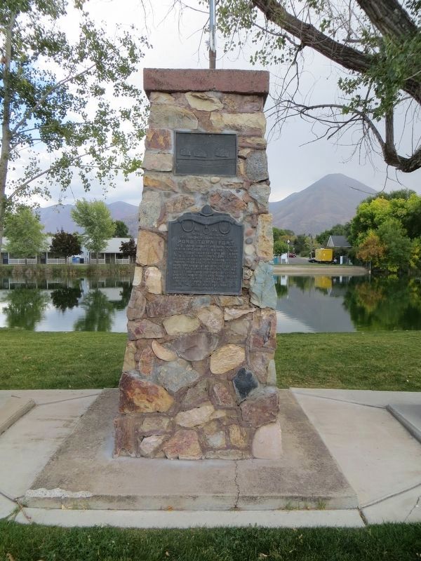
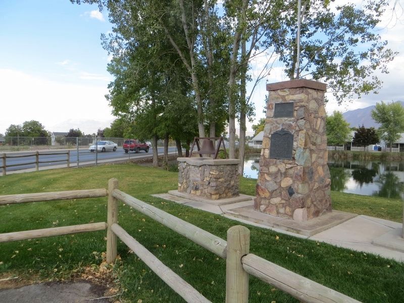
Pond Town Fort
Erected 1938 by Daughters of the Utah Pioneers. (Marker Number 36.)
Topics and series. This historical marker is listed in these topic lists: Forts and Castles • Settlements & Settlers. In addition, it is included in the Daughters of Utah Pioneers series list. A significant historical date for this entry is July 16, 1938.
Location. 40° 3.192′ N, 111° 40.747′ W. Marker is in Salem, Utah, in Utah County. Marker is on South 300 West, on the right when traveling north. Touch for map. Marker is at or near this postal address: 13 South 300 West, Salem UT 84653, United States of America. Touch for directions.
Other nearby markers. At least 8 other markers are within 3 miles of this marker, measured as the crow flies. Salem’s First Post Office (a few steps from this marker); N.E. Corner of Payson Pioneer Fort (approx. 2.7 miles away); S.E. Corner of Payson Pioneer Fort (approx. 2.8 miles away); The John Dixon House (approx. 2.9 miles away); Samuel Douglass House (approx. 2.9 miles away); City Hall (approx. 2.9 miles away); Payson's Pioneer Industry (approx. 2.9 miles away); Payson City Library (approx. 2.9 miles away).
Additional keywords. Pond Town Fort
Credits. This page was last revised on April 26, 2020. It was originally submitted on March 13, 2017, by Steven Tanner of Spanish Fork, Utah. This page has been viewed 672 times since then and 57 times this year. Photos: 1, 2. submitted on March 13, 2017, by Steven Tanner of Spanish Fork, Utah. 3, 4. submitted on April 24, 2020, by Bill Kirchner of Tucson, Arizona. • Bill Pfingsten was the editor who published this page.


