Near Arlington in Gilliam County, Oregon — The American West (Northwest)
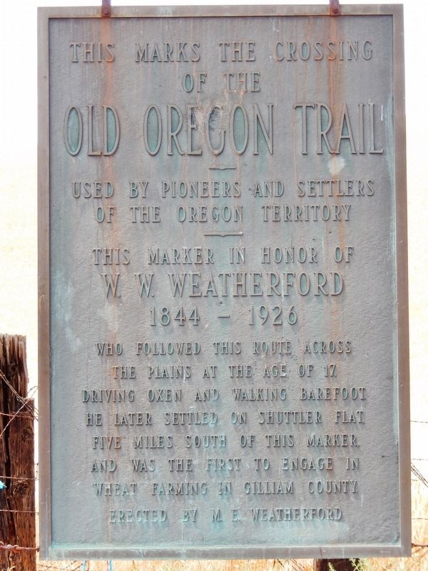
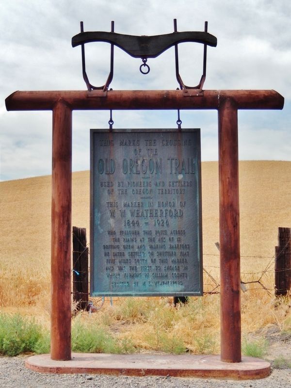
This Marks the Crossing of the Old Oregon Trail
Used by Pioneers and Settlers of the Oregon Territory
— This Marker in Honor of W.W. Weatherford 1844 - 1926 —
Inscription.
Who followed this route across the plains at the age of 17 driving oxen and walking barefoot. He later settled on Shuttler Flat five miles south of this marker and was the first to engage in wheat farming in Gilliam County
Erected by M. E. Weatherford.
Topics. This historical marker is listed in these topic lists: Agriculture • Settlements & Settlers.
Location. 45° 37.341′ N, 120° 9.925′ W. Marker is near Arlington, Oregon, in Gilliam County. Marker is on Oregon Route 19, 0.4 miles south of Montague Lane, on the right when traveling south. Marker is located in a pullout on the west side of Oregon highway 19. Touch for map. Marker is in this post office area: Arlington OR 97812, United States of America. Touch for directions.
Other nearby markers. At least 3 other markers are within 7 miles of this marker, measured as the crow flies. Rocks, Sand & Wind (approx. 5.9 miles away); Fourmile Canyon (approx. 5.9 miles away); Arlington Oregon Trail Kiosk (approx. 7 miles away).
Also see . . . Oregon State University - Chronological History.
Between 1843 and 1869, hundreds of thousands of people crossed the Oregon Trail to settle in Oregon, Washington and California. Many of the Oregon settlers came to be associated with Corvallis College, which later became Oregon State University. One of those emigrants was James Knox Weatherford, brother of W. W. Weatherford. The Weatherfords migrated to Oregon from Missouri in the early 1860s. (Submitted on March 14, 2017, by Cosmos Mariner of Cape Canaveral, Florida.)

Photographed By Cosmos Mariner, July 1, 2016
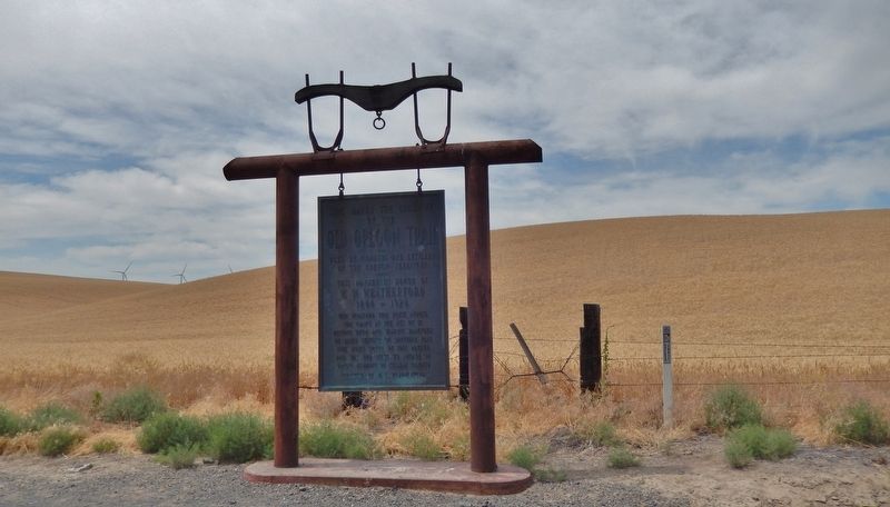
3. This Marks the Crossing of the Old Oregon Trail Marker (wide view)
This region is now dominated by wheat fields, as seen in the background and mentioned on the marker. Wind turbines visible in the far background are part of Caithness Shepherds Flat Wind Farm, one of the largest wind farms in the world.
Credits. This page was last revised on October 18, 2020. It was originally submitted on March 14, 2017, by Cosmos Mariner of Cape Canaveral, Florida. This page has been viewed 405 times since then and 42 times this year. Photos: 1, 2, 3. submitted on March 14, 2017, by Cosmos Mariner of Cape Canaveral, Florida. • Bill Pfingsten was the editor who published this page.

