Near Sistersville in Wetzel County, West Virginia — The American South (Appalachia)
Van Camp
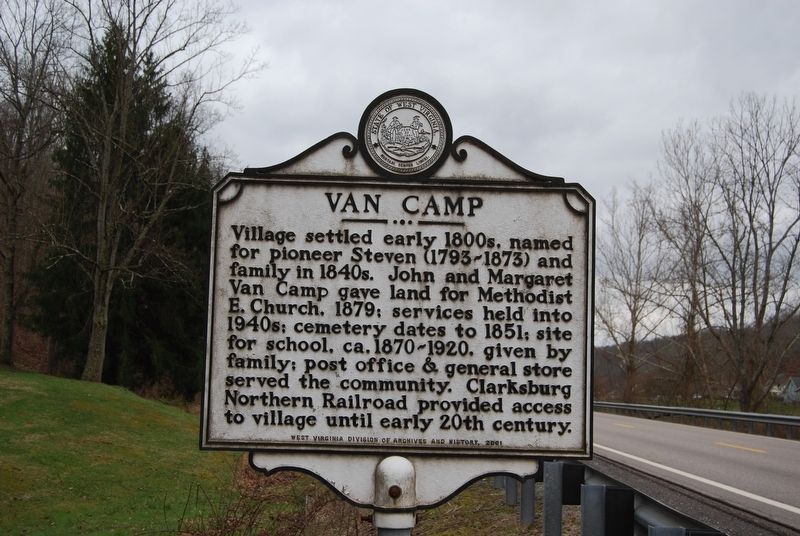
Photographed by Mike Wintermantel, March 19, 2017
1. Van Camp Marker
Erected 2001 by West Virginia Division of Archives & History.
Topics and series. This historical marker is listed in these topic lists: Railroads & Streetcars • Religion & Religious Structures • Settlements & Settlers. In addition, it is included in the West Virginia Archives and History series list. A significant historical year for this entry is 1879.
Location. 39° 35.442′ N, 80° 53.363′ W. Marker is near Sistersville, West Virginia, in Wetzel County. It is on West Virginia Route 180 0.3 miles south of Old Alt 18, on the right when traveling north. Touch for map. Marker is in this post office area: Sistersville WV 26175, United States of America. Touch for directions.

Regionally, this marker is in the Northern Panhandle. It
this page online
Other nearby markers. At least 8 other markers are within 4 miles of this marker, measured as the crow flies: Sardis Historic Town Pump (approx. 2½ miles away in Ohio); Adena Burial Mound (approx. 3.6 miles away); Levi Morgan (approx. 3.7 miles away); Wetzel County Time Capsule (approx. 3.7 miles away); James G. West (approx. 3.7 miles away); World War II Cannon (approx. 3.7 miles away); Civil War Memorial (approx. 3.7 miles away); New Martinsville (approx. 3.7 miles away).
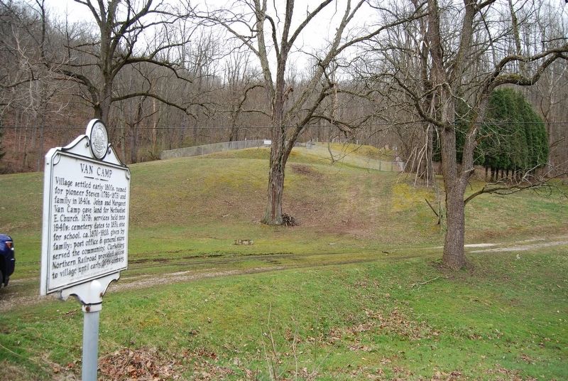
Photographed by Mike Wintermantel, March 19, 2017
2. Van Camp Marker
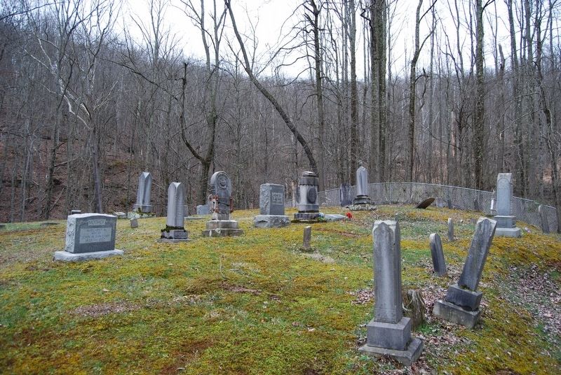
Photographed by Mike Wintermantel, March 19, 2017
3. Van Camp Marker
Credits. This page was last revised on May 14, 2022. It was originally submitted on March 19, 2017, by Mike Wintermantel of Pittsburgh, Pennsylvania. This page has been viewed 954 times since then and 55 times this year. Photos: 1, 2, 3. submitted on March 19, 2017, by Mike Wintermantel of Pittsburgh, Pennsylvania.
