Near Fort Oglethorpe in Catoosa County, Georgia — The American South (South Atlantic)
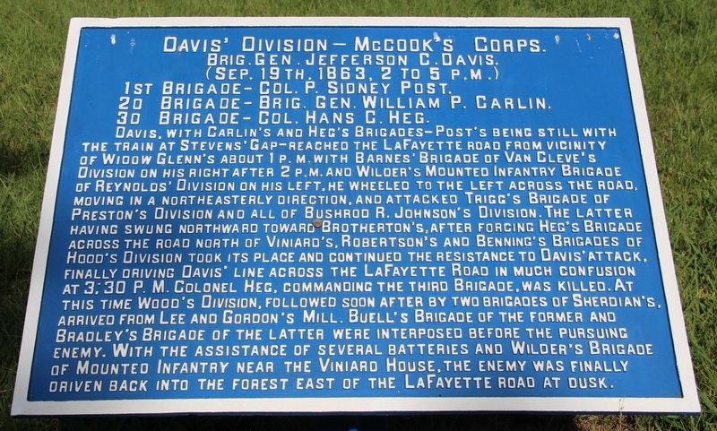
Davis' Division
McCook's Corps
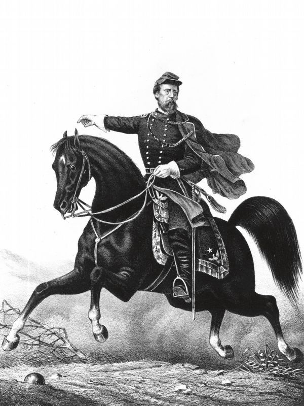
— Brigadier General Jefferson C. Davis —
Brigadier General Jefferson C. Davis
(September 19th, 1863, 2 to 5 p.m.)
1st Brigade - Colonel P. Sidney Post.
2d Brigade - Brigadier General William P. Carlin
3d Brigade - Colonel Hans C. Heg.
Davis, with Carlin's and Heg's Brigades - Post's being still with the train at Stevens' Gap - reached the Lafayette Road from from vicinity of Widow Glenn's about 1 p.m. with Barnes' Brigade of Van Cleve's Division on his right after 2 p.m. and Wilder's Mounted Infantry Brigade of Reynolds' Division on his left, he wheeled to the left across the road, moving in a northeasterly direction, and attacked Trigg's Brigade of Preston's Division and all of Bushrod R. Johnson's Division. The latter having swung northward toward Brotherton's after forcing Heg's Brigade across the road north of Viniard's. Robertson's and Benning's Brigades of Hood's Division took its place and continued the resistance to Davis' attack, finally driving Davis' line across the LaFayette Road in much confusion at 3:30 p.m. Colonel Heg, commanding the third Brigade, was killed. At this time Wood's Division, followed soon after by two brigades of Sherdian's, arrived from Lee and Gordon's Mill. Buell's Brigade of the former and Bradley's Brigade of the latter were interposed before the pursuing enemy. With assistance of several batteries and Wilder's Brigade of Mounted Infantry near the Viniard House, the enemy was finally driven back into the forest east of the LaFayette Road at dusk.
Erected 1890 by the Chickamauga and Chattanooga National Military Park Commission. (Marker Number MT-501.)
Topics. This historical marker is listed in this topic list: War, US Civil. A significant historical date for this entry is September 9, 1863.
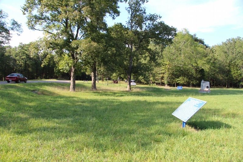
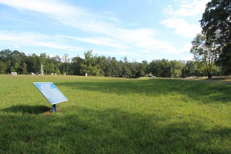
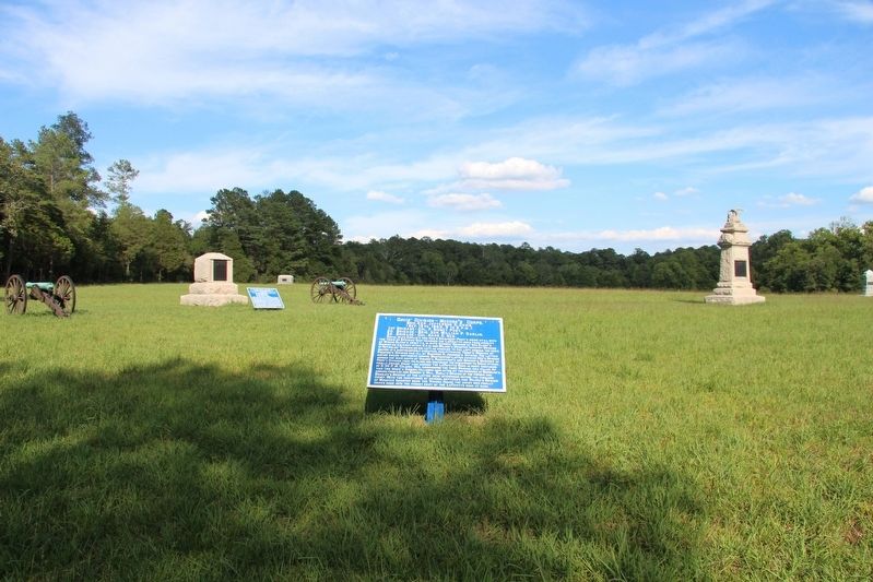
Location. 34° 54.191′ N, 85° 15.67′ W. Marker is near Fort Oglethorpe, Georgia, in Catoosa County. Marker is on LaFayette Road south of Viniard Road, on the left when traveling south. This tablet is located in the national park that preserves the site of the Chickamauga Battlefield, and is one of a number of Union monuments, markers, and tablets that are situated along the Union line of battle in the park's Viniard Field area. Touch for map. Marker is in this post office area: Fort Oglethorpe GA 30742, United States of America. Touch for directions.
Other nearby markers. At least 8 other markers are within walking distance of this marker. 8th Indiana Battery (a few steps from this marker); a different marker also named 8th Indiana Battery (within shouting distance of this marker); 13th Michigan Infantry (within shouting distance of this marker); 58th Indiana Infantry (within shouting distance of this marker); Buell's Brigade
(within shouting distance of this marker); 100th Illinois Infantry (within shouting distance of this marker); Twentieth Army Corps (within shouting distance of this marker); 26th Ohio Infantry (within shouting distance of this marker). Touch for a list and map of all markers in Fort Oglethorpe.
More about this marker. I used the "Chickamauga Battlefield" map, that I purchased at the Chickamauga and Chattanooga National Military Park, Visitor Center, to determine both the marker number for this monument and the monument's location in relation to the rest of the park's monuments, markers, and tablets. According to the map it provides the, "numerical listing of all monuments, markers, and tablets on the Chickamauga Battlefield (using the Chick-Chatt NMP Monument Numbering System).”
Related markers. Click here for a list of markers that are related to this marker.
Credits. This page was last revised on September 16, 2020. It was originally submitted on March 21, 2017, by Dale K. Benington of Toledo, Ohio. This page has been viewed 252 times since then and 8 times this year. Photos: 1, 2, 3, 4. submitted on March 21, 2017, by Dale K. Benington of Toledo, Ohio. 5. submitted on September 11, 2020, by Allen C. Browne of Silver Spring, Maryland.
