Near Spotsylvania Courthouse in Spotsylvania County, Virginia — The American South (Mid-Atlantic)
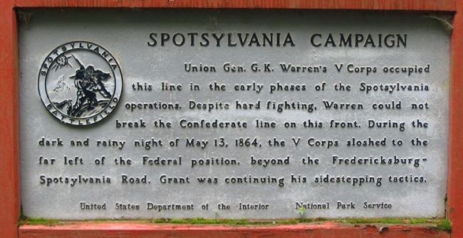
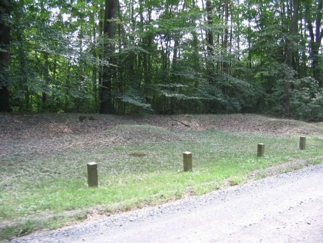
Spotsylvania Campaign
Erected by United States Department of the Interior - National Park Service.
Topics. This historical marker is listed in this topic list: War, US Civil. A significant historical date for this entry is May 13, 1849.
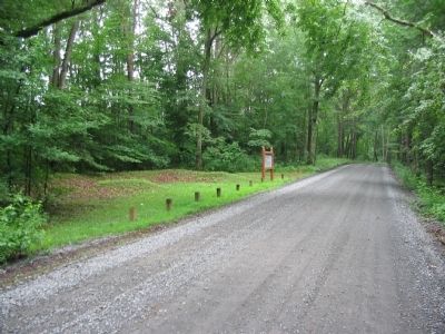
Location. 38° 13.016′ N, 77° 36.948′ W. Marker is near Spotsylvania Courthouse, Virginia, in Spotsylvania County. Marker is on Hancock Road, 0.1 miles south of Brock Road (County Route 613), on the left when traveling south. Touch for map. Marker is at or near this postal address: 8122 Brock Rd, Spotsylvania VA 22553, United States of America. Touch for directions.
Other nearby markers. At least 8 other markers are within walking distance of this marker. Laurel Hill (about 500 feet away, measured in a direct line); The Race for Spotsylvania Court House (about 500 feet away); The Death of Sedgwick (about 500 feet away); Sedgwick (about 500 feet away); Laurel Hill Trail (about 500 feet away); a different marker also named Spotsylvania Campaign (about 600 feet away); a different marker also named The Death of Sedgwick (about 600 feet away); a different marker also named Spotsylvania Campaign (about 600 feet away). Touch for a list and map of all markers in Spotsylvania Courthouse.
Also see . . . Laurel Hill. National Park Service virtual tour stop. (Submitted on August 14, 2008, by Craig Swain of Leesburg, Virginia.)
Credits. This page was last revised on July 9, 2021. It was originally submitted on August 14, 2008, by Craig Swain of Leesburg, Virginia. This page has been viewed 960 times since then and 16 times this year. Photos: 1, 2, 3. submitted on August 14, 2008, by Craig Swain of Leesburg, Virginia.


