Pascagoula in Jackson County, Mississippi — The American South (East South Central)
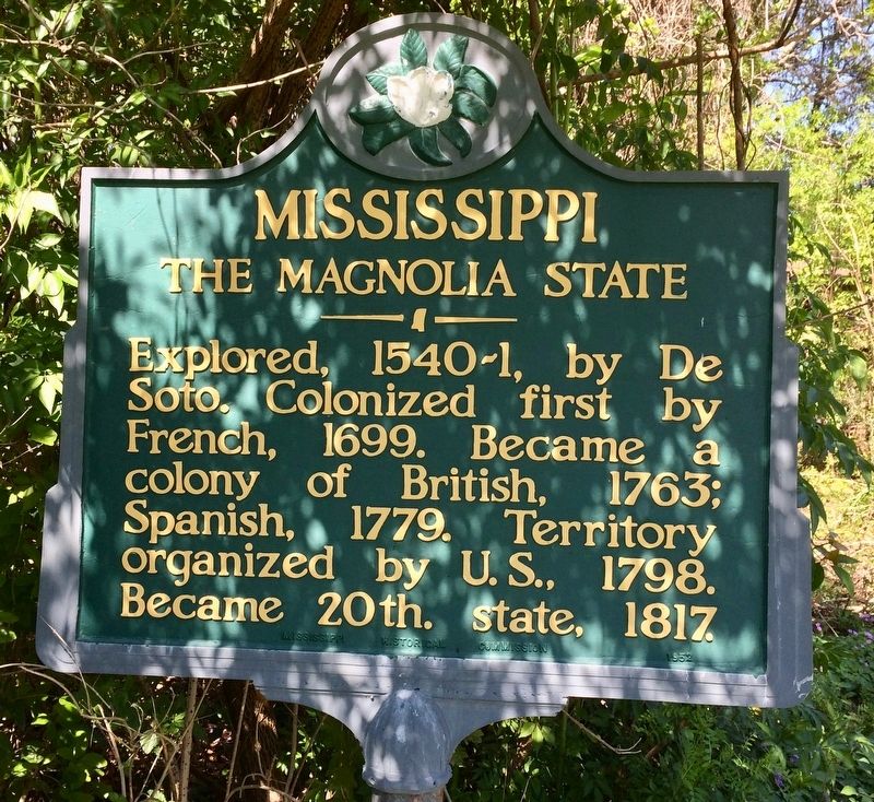
Mississippi
The Magnolia State
Erected 1952 by the Mississippi Historical Commission.
Topics. This historical marker is listed in these topic lists: Exploration • Political Subdivisions. A significant historical year for this entry is 1699.
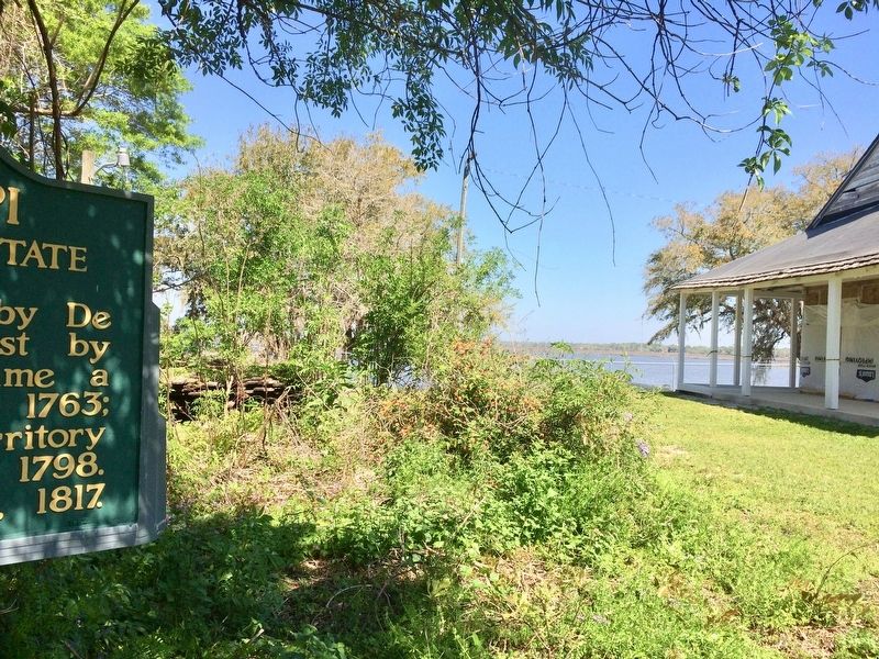
Location. 30° 22.801′ N, 88° 33.5′ W. Marker is in Pascagoula, Mississippi, in Jackson County. Marker can be reached from the intersection of Fort Street and Spanish Avneue. Located within the grounds of the Old Spanish Fort and near the LaPointe-Krebs House. Touch for map. Marker is at or near this postal address: 4602 Fort Street, Pascagoula MS 39567, United States of America. Touch for directions.
Other nearby markers. At least 8 other markers are within walking distance of this marker. Jackson County WWII Memorial (within shouting distance of this marker); Krebs Cotton Gin (within shouting distance of this marker); Pascagoula River Basin Ecosystem (approx. 0.6 miles away); Pascagoula UFO 1973 (approx. 0.6 miles away); Round Island Lighthouse (approx. 0.7 miles away); a different marker also named Round Island Lighthouse (approx. 0.7 miles away); a different marker also named Round Island Lighthouse (approx. 0.7 miles away); Captain H.H. Colle House (approx. 0.7 miles away). Touch for a list and map of all markers in Pascagoula.
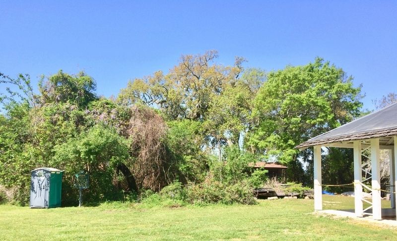
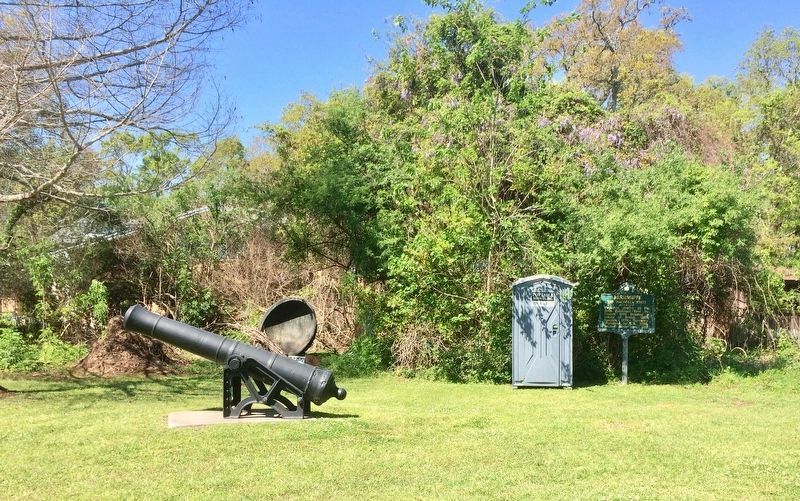
More about this marker. Oddly this marker is placed nearly in the woods and is presently next to a Porta-John (part of construction project). I could find no records that this marker was located at this site.
Additional commentary.
1. Marker moved here?
A 2010 Mississippi Department of Archives and History web page indicates this marker (or another copy) was located on U.S. Highway 90 at the Alabama state line, on north side of the road, in this county. Possibly the marker was relocated here to Old Spanish Fort.
— Submitted March 23, 2017, by Mark Hilton of Montgomery, Alabama.
Credits. This page was last revised on July 27, 2018. It was originally submitted on March 23, 2017, by Mark Hilton of Montgomery, Alabama. This page has been viewed 240 times since then and 18 times this year. Photos: 1, 2, 3. submitted on March 23, 2017, by Mark Hilton of Montgomery, Alabama. 4. submitted on March 24, 2017, by Mark Hilton of Montgomery, Alabama.


