Near Hungry Horse in Flathead County, Montana — The American West (Mountains)
Surrounded by Wilderness
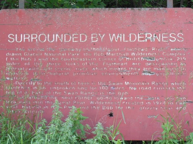
You are at the gateway in the Upper Flathead River which drains Glacier National Park, the Bob Marshall Wilderness Complex (the Bob) and the southeastern corner of British Columbia. 219 miles of the three forks of the Flathead are designated as federal wild and scenic river, which means they are managed to maintain their natural primitive environments and unpolluted waters.
Directly to the south of here is the Swan Mountain Range which stretches in an unbroken line for 100 miles. No road crosses the top of it. East of the Swan Range is the Bob.
Just around the next corner going toward the park you can look east into the Great Bear Wilderness created in 1978 to the vital habitat in the park and the Bob for the grizzly bear and other wildlife.
Erected by Montana Highway Commission.
Topics. This historical marker is listed in these topic lists: Animals • Environment.
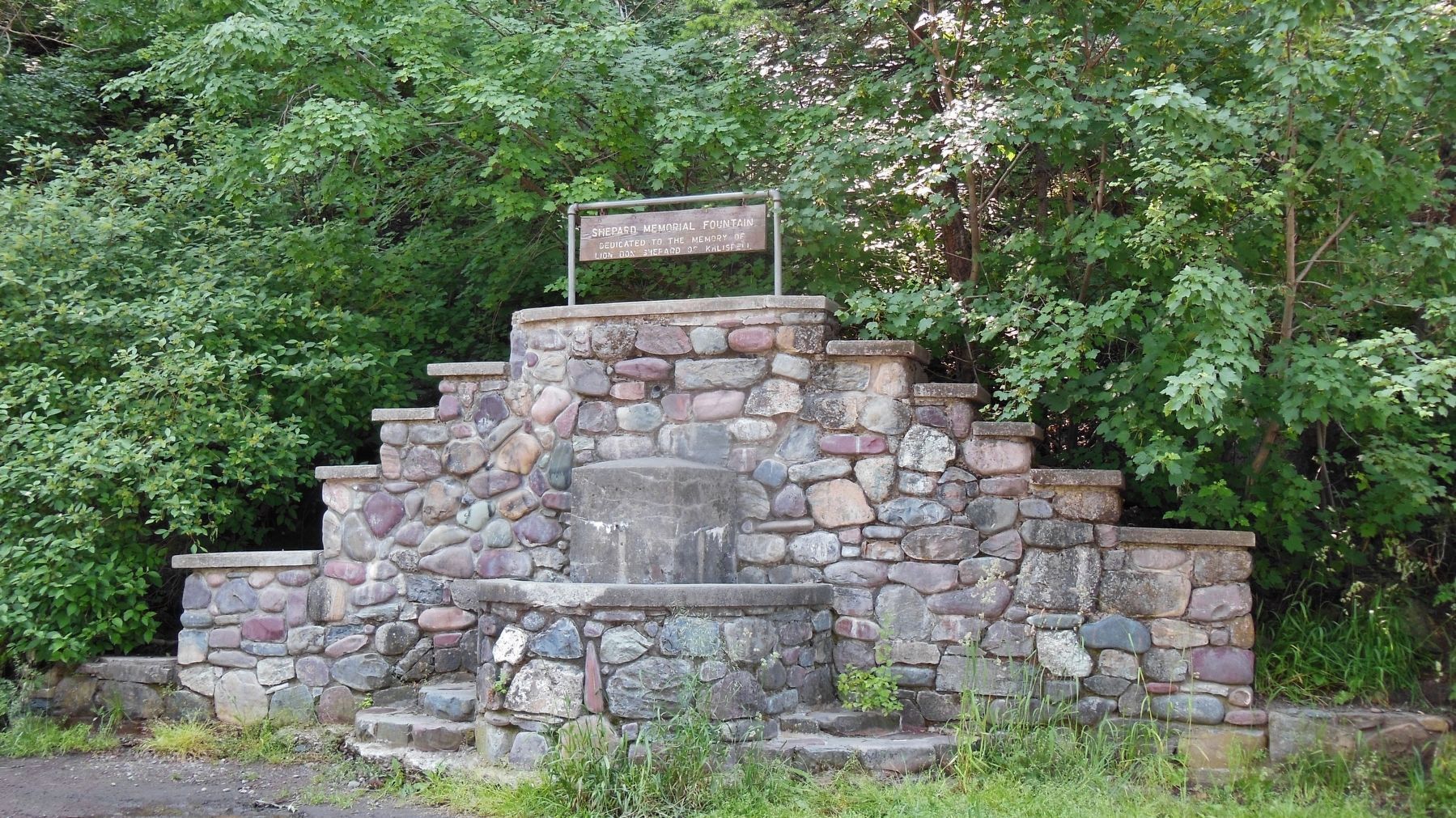
Location. 48° 23.148′ N, 114° 6.129′ W. Marker is near Hungry Horse, Montana, in Flathead County. Marker is on U.S. 2, half a mile east of Berne Road, on the right when traveling east. Marker is located in pullout on the south side of U.S. Highway 2, across from the Flathead River. There is an easily visible large rock memorial fountain near the marker. Touch for map. Marker is in this post office area: Hungry Horse MT 59919, United States of America. Touch for directions.
Other nearby markers. At least 8 other markers are within 16 miles of this marker, measured as the crow flies. Berne Roadside Park (a few steps from this marker); Bad Rock Canyon (about 400 feet away, measured in a direct line); Hungry Horse Clearing Ball (approx. 1.8 miles away); The Legend of Hungry Horse (approx. 1.8 miles away); Dean Rental Property (approx. 15.9 miles away); Conrad Mansion (approx. 16 miles away); East Side Historic District (approx. 16 miles away); Driscoll House (approx. 16 miles away). Touch for a list and map of all markers in Hungry Horse.
More about this marker. Marker is wooden and severely weathered.
Also see . . .
1. Swan Range. Wikipedia entry:
The Swan Range is a mountain range in western Montana in the United States.[1] Its peaks typically rise to around 8,000 to 9,000 feet (2,400 to 2,700 m). The range is bounded by the South Fork Flathead River to the east, the Flathead River to the north and northwest, the Swan River to the west, and lie to the southwest of Glacier National Park, just south of the Canada–US border. (Submitted on March 24, 2017, by Cosmos Mariner of Cape Canaveral, Florida.)
2. Great Bear Wilderness. University of Montana Wilderness Connect:
The Great Bear Wilderness was congressionally designated as a Wilderness area in 1978 with a total of 286,700 acres. This wilderness is located on the western side of the Continental Divide entirely within the Flathead National Forest (Hungry Horse and Spotted Bear Ranger Districts). It forms a critical ecological link with Glacier National Park located just across U.S. Highway 2 to the north. The Great Bear completes the habitat protection for the most significant grizzly bear range in the lower 48 states. (Submitted on March 24, 2017, by Cosmos Mariner of Cape Canaveral, Florida.)
Credits. This page was last revised on January 4, 2024. It was originally submitted on March 24, 2017, by Cosmos Mariner of Cape Canaveral, Florida. This page has been viewed 307 times since then and 23 times this year. Photos: 1, 2. submitted on March 24, 2017, by Cosmos Mariner of Cape Canaveral, Florida. • Bill Pfingsten was the editor who published this page.

