Sheep Ranch in Calaveras County, California — The American West (Pacific Coastal)
Sheep Ranch
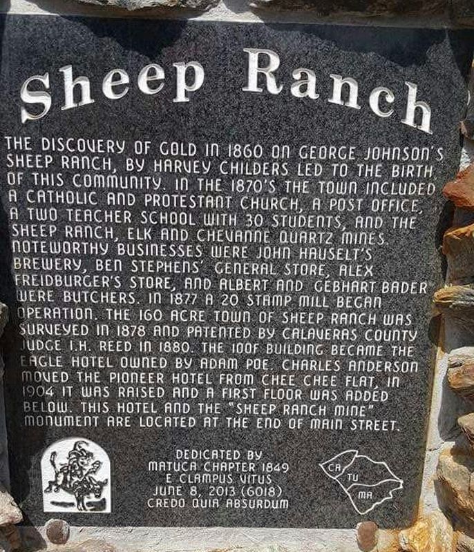
Photographed by Matuca Chapter 1849 E Clampus Vitus
1. Sheep Ranch Marker
Erected 2013 by Matuca Chapter 1849 E Clampus Vitus.
Topics and series. This historical marker is listed in these topic lists: Industry & Commerce • Settlements & Settlers. In addition, it is included in the E Clampus Vitus series list. A significant historical year for this entry is 1870.
Location. 38° 12.553′ N,
this page online

Regionally, this marker is in the Sierra Nevada. It is also in the American Mountain West. Globally, it is in North America, on the Pacific Rim, in the Western Hemisphere, in the Western World, and in the Anglosphere. Historically, it finds itself in what was once New Spain and also Mexico’s Alta California.
Other nearby markers. At least 8 other markers are within 5 miles of this marker, measured as the crow flies: Sheep Ranch Mine (approx. 0.2 miles away); California Caverns at Cave City (approx. 2.4 miles away); Mercer Caverns (approx. 4 miles away); The Old Utica Powerhouse (approx. 4.2 miles away); El Dorado (approx. 4.4 miles away); St. Patrick's Catholic Church (approx. 4.8 miles away); Masonic Hall (approx. 4.9 miles away); The Heinsdorff Bakery (approx. 4.9 miles
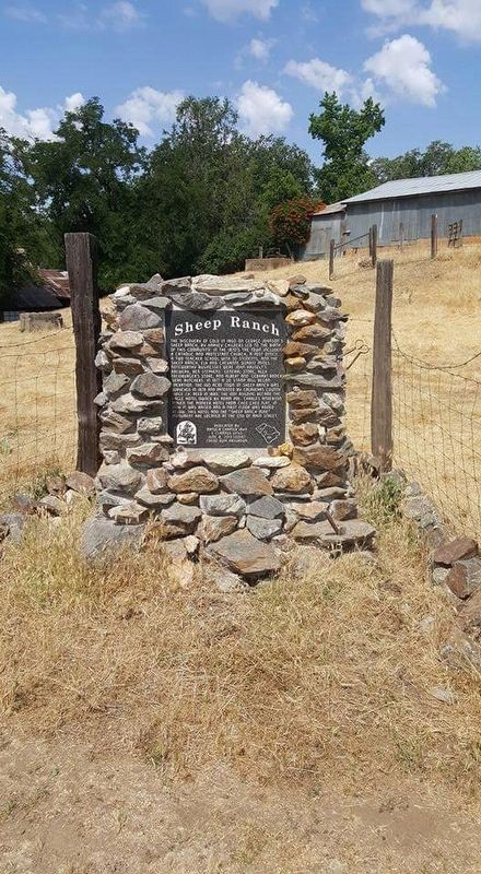
Photographed by Matuca Chapter 1849 E Clampus Vitus
2. Sheep Ranch Marker
Also see . . . Sheep Ranch. An article posted by CalaverasHistory.org (Submitted on April 1, 2017.)
Credits. This page was last revised on April 1, 2017. It was originally submitted on March 25, 2017, by Frank Gunshow Sanchez of Hollister, California. This page has been viewed 1,441 times since then and 83 times this year. Photos: 1, 2. submitted on March 25, 2017. • Syd Whittle was the editor who published this page.
