Near Brownville in Piscataquis County, Maine — The American Northeast (New England)
Katahdin Iron Works in the 1880's
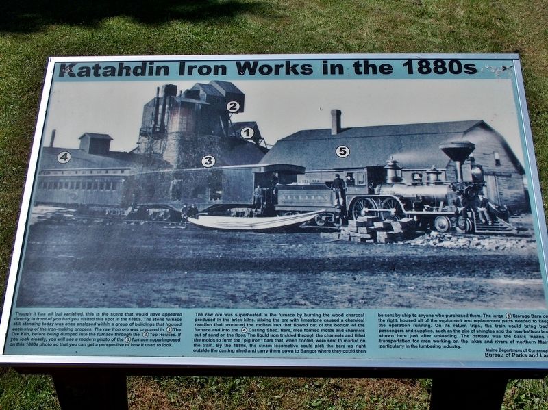
Though it has all but vanished, this is the scene that would have appeared directly in front of you had you visited this spot in the 1880ís. The stone furnace still standing today was once enclosed within a group of buildings that housed each step of the iron-making process. The raw iron ore was prepared in (1) The Ore Kiln, before being dumped into the furnace through the (2) Top Houses. If you look closely, you will see a modern photo of the (3) furnace superimposed on this 1880ís photo so that you can get a perspective of how it used to look.
The raw ore was superheated in the furnace by burning the wood charcoal produced in the brick kilns. Mixing the ore with limestone caused a chemical reaction that produced the molten iron that flowed out of the bottom of the furnace and into the (4) Casting Shed. Here, men formed molds and channels out of sand on the floor. The liquid iron trickled through the channels and filled the molds to form the “pig iron” bars that, when cooled, were sent to market on the train. By the 1880ís, the steam locomotive could pick the bars up right outside the casting shed and carry them down to Bangor where then could then be sent by ship to anyone who purchased them. The large (5) Storage Barn on the right, housed all of the equipment and replacement parts needed to keep the operation running. On its return trips, the train could bring back passengers and supplies, such as the pile of shingles and the new batteau boat shown here just after unloading. The batteau was the basic means of transportation for men working on the lakes and rivers of northern Maine, particularly in the lumbering industry.
Erected by Maine Department of Conservation Bureau of Parks and Lands.
Topics. This historical marker is listed in these topic lists: Industry & Commerce • Railroads & Streetcars.
Location. 45° 26.721′ N, 69° 10.493′ W. Marker is near Brownville, Maine, in Piscataquis County. Marker is on Katahdin Iron Works Road, 6 miles west of Route 11, on the right when traveling west. Marker is located near the subject furnace ruins, at the Katahdin Ironworks State Historic Site, about 15 miles northwest of Brownville, Maine. Touch for map. Marker is in this post office area: Brownville ME 04414, United States of America. Touch for directions.
Also see . . .
1. Katahdin Ironworks State Historic Site. Maine Department of Agriculture, Conservation & Forestry website entry:
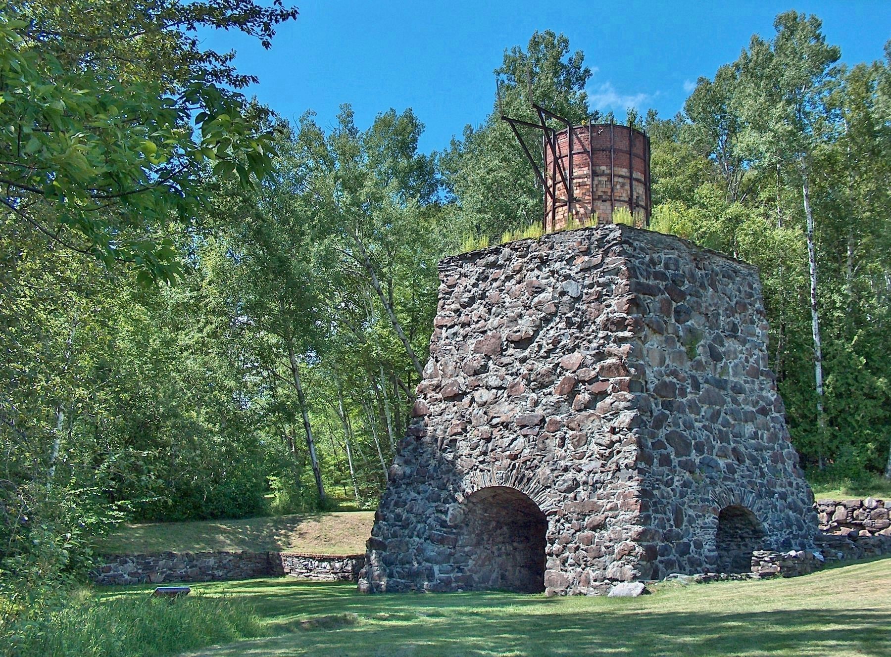
Today, the skeletons of a blast furnace and charcoal kiln stand silent, lone remnants of the Katahdin Iron Works. In the past, these structures pulsed with activity as part of Maine's only nineteenth century iron works operation. Here the fires of the blast furnace flames non-stop for as long as a year at a time, glowing against the night sky. Smoke poured from this charcoal kiln and many others like
it. Mule, oxen or horse-drawn wagons rattled by constantly carrying ore, pig iron or wood. (Submitted on March 26, 2017, by Cosmos Mariner of Cape Canaveral, Florida.)
2. Katahdin Iron Works. Maine Department of Conservation pamphlets PDF
The people who opened the Katahdin Iron Works in 1843 built an iron works, town and roads in the remote location. By 1884, during the height of the KIW operation, the village had grown to include the homes of 200 works. The 1880's also marked the beginning of the summer resort business here. Many townspeople moved away when the iron works and a later spool mill closed. The hotel burned in 1913. (Submitted on March 26, 2017, by Cosmos Mariner of Cape Canaveral, Florida.)

Photographed By Cosmos Mariner, July 16, 2007
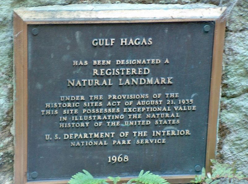
3. Gulf Hagas - Registered National Landmark
Katahdin Iron Works is also the home of the ever-popular “Gulf Hagas” hike. Gulf Hagas, itself, is a 3.5 mile gorge through slate bedrock. Gulf Hagas is a National Natural Landmark and part of the Appalachian Trail.
Credits. This page was last revised on July 27, 2022. It was originally submitted on March 26, 2017, by Cosmos Mariner of Cape Canaveral, Florida. This page has been viewed 430 times since then and 21 times this year. Photos: 1, 2, 3. submitted on March 26, 2017, by Cosmos Mariner of Cape Canaveral, Florida. • Bill Pfingsten was the editor who published this page.

