Briceville in Anderson County, Tennessee — The American South (East South Central)
"The Coal Creek War"
1891-92
Photographed by Tom Bosse, March 4, 2017
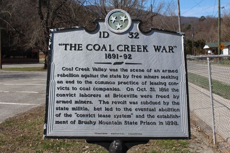
1. "The Coal Creek War" Marker
Coal Creek valley was the scene of an armed rebellion against the state by free miners seeking an end to the common practice of leasing convicts to coal companies. On Oct. 31, 1891 the convict laborers at Briceville were freed by armed miners. The revolt was subdued by the state militia, but led to the eventual abolition of the "convict lease system" and the establishment of Brushy Mountain State Prison in 1898.
Erected by Tennessee Historical Commission. (Marker Number 1D-32.)
Topics and series. This historical marker is listed in this topic list: Industry & Commerce. In addition, it is included in the Tennessee Historical Commission series list. A significant historical year for this entry is 1891.
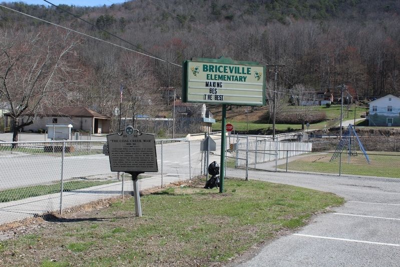
Location. 36° 10.667′ N, 84° 11′ W. Marker is in Briceville, Tennessee, in Anderson County. It is on Slatestone Road, on the left when traveling north. Marker is located in front of the Briceville Elementary School. Touch for map. Marker is in this post office area: Briceville TN 37710, United States of America. Touch for directions.

Regionally, this marker is in East Tennessee and in Greater Knoxville. It is also in
this page online
Other nearby markers. At least 8 other markers are within 3 miles of this marker, measured as the crow flies: Cross Mountain Disaster (within shouting distance of this marker); Briceville Church (within shouting distance of this marker); Welsh in Coal Creek (about 300 feet away, measured in a direct line); Legacy of Condy Harmon (about 400 feet away); Miners' Circle Cemetery (approx. half a mile away); Fraterville Disaster (approx. 2.1 miles away); Itinerant Miners' Cemetery (approx. 2.1 miles away); Village of Brothers (approx. 2.1 miles away). Touch for a list and map of all markers in Briceville.
Also see . . . Coal Creek War. Wikipedia entry (Submitted on November 10, 2022, by Larry Gertner of New York, New York.)
Photographed by Tom Bosse, March 4, 2017
2. "The Coal Creek War" Marker
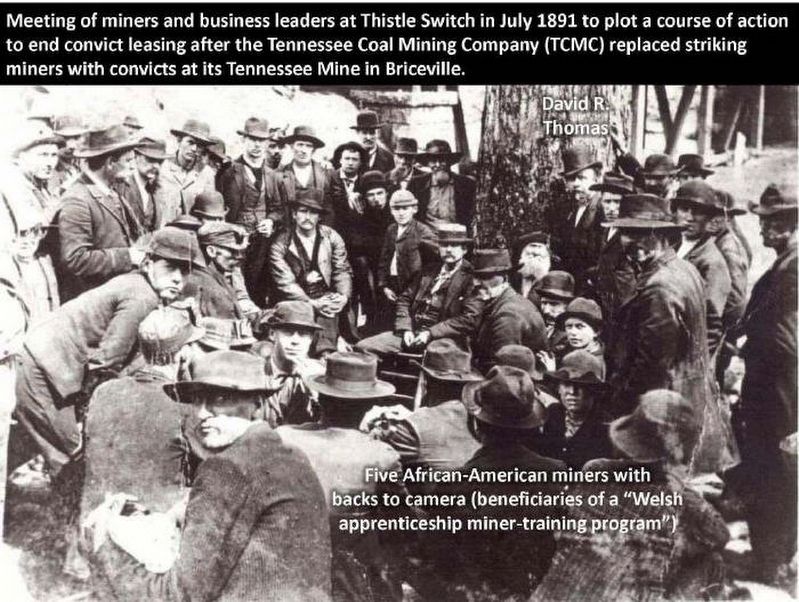
3. Coal Creek Miners
Credits. This page was last revised on January 17, 2025. It was originally submitted on March 26, 2017, by Tom Bosse of Jefferson City, Tennessee. This page has been viewed 2,752 times since then and 172 times this year. Photos: 1, 2, 3. submitted on March 26, 2017, by Tom Bosse of Jefferson City, Tennessee. • Bill Pfingsten was the editor who published this page.
