Cross Mountain Disaster
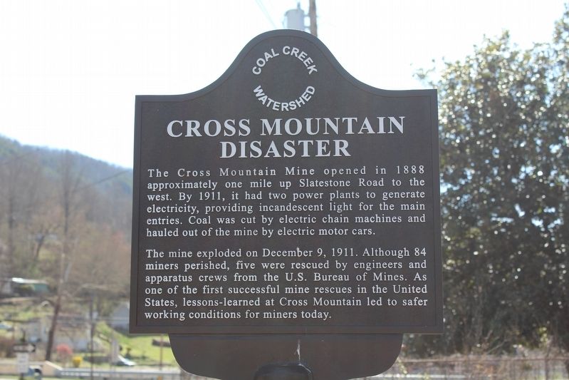
The mine exploded on December 9, 1911. Although 84 miners perished, five were rescued by engineers and apparatus crews from the U.S. Bureau of Mines. As one of the first successful mine rescues in the United States, lessons-learned at Cross Mountain led to safer working conditions for miners today.
Erected by Coal Creek Watershed Foundation.
Topics and series. This historical marker is listed in these topic lists: Disasters • Industry & Commerce. In addition, it is included in the Coal Creek Watershed Foundation series list. A significant historical date for this entry is December 9, 1911.
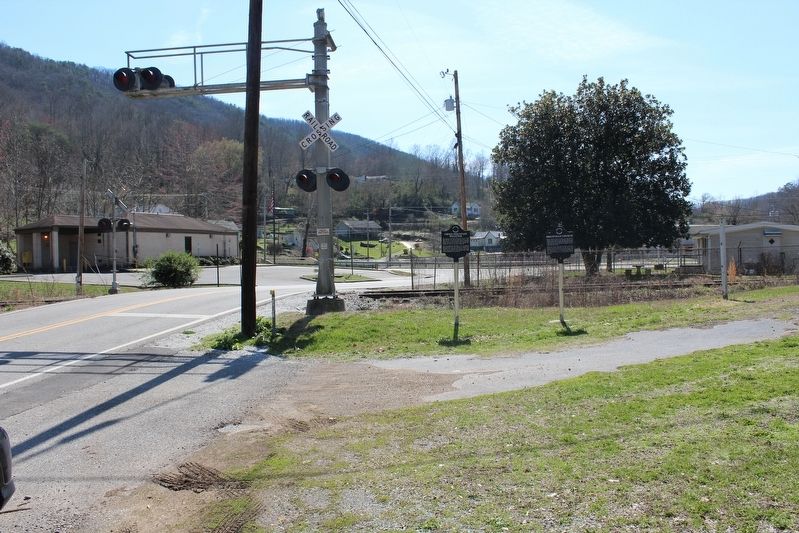
Location. 36° 10.683′ N, 84° 10.967′ W. Marker is in Briceville, Tennessee, in Anderson County. It is on Briceville Highway (Tennessee Route 116), on the right when traveling south. Touch for map. Marker is in this post office area: Briceville TN
this page online

Regionally, this marker is in East Tennessee and in Greater Knoxville. It is also in the American South, specifically in the Upper South, in Appalachia, and specifically in Southern Appalachia. Globally, it is in North America, the Western Hemisphere, the Western World, and the Anglosphere. Historically, it finds itself in what was once the original Cherokee Nation, the territory of the Mississippian Culture, one of the Confederate States of America, and the Antebellum South.
Other nearby markers. At least 8 other markers are within 2 miles of this marker, measured as the crow flies: Briceville Church (here, next to this marker); "The Coal Creek War" (within shouting distance of this marker); Welsh in Coal Creek (about 500 feet away, measured in a direct line); Legacy of Condy Harmon (about 500 feet away); Miners' Circle Cemetery (approx. half a mile away); Fraterville Disaster (approx. 2.1 miles away); Itinerant Miners' Cemetery (approx. 2.1 miles away); Village of Brothers (approx. 2.1 miles away). Touch for a list and map of all markers in Briceville.
Also see . . . Cross Mountain Mine Disaster.
Credits. This page was last revised on March 28, 2017. It was originally submitted on March 27, 2017, by Tom Bosse of Jefferson City, Tennessee. This page has been viewed 1,291 times since then and 80 times this year. Photos: 1, 2. submitted on March 27, 2017, by Tom Bosse of Jefferson City, Tennessee. • Bill Pfingsten was the editor who published this page.
