Mérida, Yucatán, Mexico — The Southeast (Yucatan Peninsula)
Corner of Calle 62 and 67
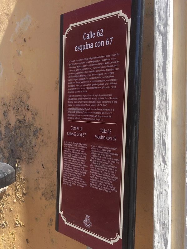
Calle 62 esquina con 67
En Yucatán, el movimiento liberal independentista tiene sus raíces a inicios del siglo XIX con un movimiento llamado Sanjuanista, encabezado por el cura Vicente María Velázquez, capellán de la iglesia de San Juan Bautista, situada en el centro del barrio del mismo nombre y muy próximo a esta ubicación. Aquel movimiento y agrupación se llamó originalmente Asociación de San Juan y con este título religioso, abrazó la presencia tanto de religiosos como seglares, quienes compartiesen inquietudes sobre las necesarias transformaciones sociales para alcanzar una sociedad con mejores condiciones, sobre todo para los indígenas mayas, quienes vivían con grandes injusticias. El cura Velázquez pedía también que los propios indígenas eligieran a sus gobernantes y se les devolvieran sus tierras incautadas.
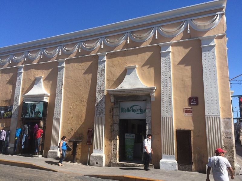
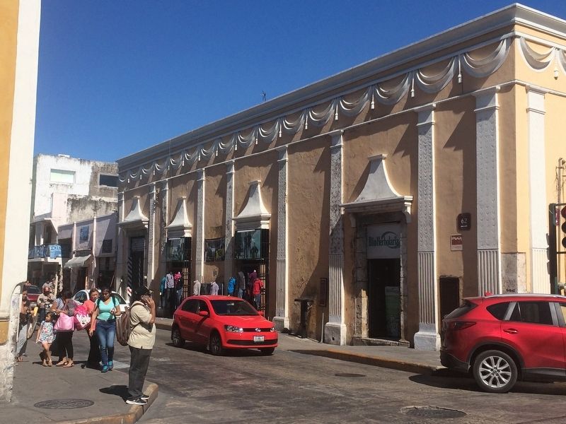
Entre otras acciones que el grupo desarrolló, según investigadores del historiador Juan Francisco Peón Ancona, estuvo la fundación de un “Seminario disidente” al que llamaron “La casa de estudios” situado precisamente en esta esquina, en el antiguo número 33 de la entonces calle “de Bolio”.
Posteriormente, Don Manuel Zapata Bolio, quien fuera el propietario de la famosa tienda de abarrotes “Las dos caras” situada en la calle 65 con 58, adquirió esta vivienda en los años 40 del siglo XIX. Desde entonces fue habitada por su familia y su descendencia hasta el siglo XX.
English:
Corner of Calle 62 and 67
In Yucatan, the liberal pro-independence movement had its roots at the beginning of the 19th century with a movement called Sanjuanista, headed by priest Vicente María Velázquez, chaplain of the church of San Juan Bautista. This group was originally called the Association of San Juan and embraced the presence of priests as well as laymen who shared concerns about the social transformations necessary to achieve a society which could live under better conditions. Among others actions that the group developed, according to research by historian Juan Francisco Péon Ancona, was the foundation of a “dissident Seminary” which they called “The house of studies” situated exactly on this corner, at number 33 of the street which at the time was called “de Bolio”.
Maya-Yucateco:
Calle 62 esquina con 67
Tu lu’umil Yucatane’ anchaj junmúuch’ wñiiniko’ob tu k’aaba’atajo’ob movimiento liberal independentista káaj tu káajal u ja’abilo’ob siglo XX, jo’olpóopinta’ab tumen yum k’iin Vicente María Velazquez, u yum k’iinil u najil K’uj San Juan Bautista. Le múuch’a’ tu k’aaba’atajo’ob yáax Asociación de San Juan, ttu táakbesajubáajo’ob máaxo’ob jk’iino’ob bey ma’a jk’iino’ob utia’al u much’ukubáajo’ob u tukult bix je’el u k’exiko’ob u kuxtal wíinik utia’al u kuxtal tu beele’. Ku ya’alik ajxaak’al ju’uno’ob Juan Francisco Peón Anconae’ tu káajsajo’ob seminario disidente tu ts’áajo’ob u k’aaba’ “casa de estudios” yaan ka’ach te ti’its yéetel u xookil 33 ku ya’alal u bejil “Bolio” ti’ ka’achij.
Topics. This historical marker is listed in these topic lists: Architecture • Wars, Non-US.
Location. 20° 57.824′ N, 89° 37.499′ W. Marker is in Mérida, Yucatán. Marker is on Calle 62 just north of Calle 67, on the left when traveling south. Touch for map. Marker is in this post office area: Mérida YU 97000, Mexico. Touch for directions.
Other nearby markers. At least 8 other markers are within walking distance of this marker. Temple of St. John the Baptist (about 150 meters away, measured in a direct line); Monsignor Norberto Domínguez (about 150 meters away); Benito Juárez (about 150 meters away); Colegio Montejo Annex (about 180 meters away); "The Count" (about 180 meters away); Former Mansion of Doña Josefa Escudero Aguirre (about 210 meters away); The San Juan Arch (about 240 meters away); Fotografía Guerra (approx. 0.2 kilometers away). Touch for a list and map of all markers in Mérida.
Credits. This page was last revised on March 28, 2017. It was originally submitted on March 28, 2017, by J. Makali Bruton of Accra, Ghana. This page has been viewed 134 times since then and 6 times this year. Photos: 1, 2, 3. submitted on March 28, 2017, by J. Makali Bruton of Accra, Ghana.


