Medford in Middlesex County, Massachusetts — The American Northeast (New England)
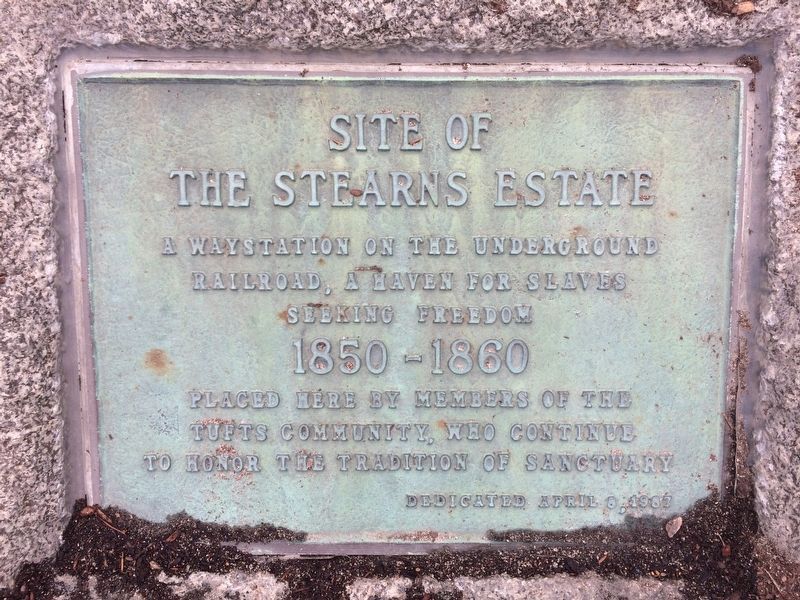
Stearns Estate
Stearns Estate
A waystation on the Underground Railroad, a haven for slaves seeking freedom 1850-1860
Placed here by members of the Tufts community, who continue to honor the tradition of sanctuary
Dedicated April 8, 1987
Erected 1987.
Topics. This historical marker is listed in these topic lists: Abolition & Underground RR • African Americans. A significant historical year for this entry is 1850.
Location. 42° 24.507′ N, 71° 6.925′ W. Marker is in Medford, Massachusetts, in Middlesex County. Marker is on College Avenue, 0.1 miles south of Boston Avenue, on the left when traveling north. Touch for map. Marker is in this post office area: Medford MA 02155, United States of America. Touch for directions.
Other nearby markers. At least 8 other markers are within walking distance of this marker. Gravity Research Foundation (approx. 0.2 miles away); The Isaac Royall House (approx. 0.3 miles away); Mystic Congregational Church Bell (approx. 0.4 miles away); Royall House (approx. 0.4 miles away); Powder House (approx. half a mile away); “Grandfather’s House” (approx. 0.6 miles away); “Jingle Bells” Composed Here (approx. ¾ mile away); Captain Isaac Hall Hitching Post (approx. ¾ mile away). Touch for a list and map of all markers in Medford.
Credits. This page was last revised on March 28, 2017. It was originally submitted on March 28, 2017, by Sarah Corvene of Medford, Massachusetts. This page has been viewed 552 times since then and 19 times this year. Photos: 1, 2, 3. submitted on March 28, 2017, by Sarah Corvene of Medford, Massachusetts. • Bill Pfingsten was the editor who published this page.


