
Carillon in Dayton in Montgomery County, Ohio — The American Midwest (Great Lakes)
Stewart Street Concrete Arch Bridge
1912 - 2008
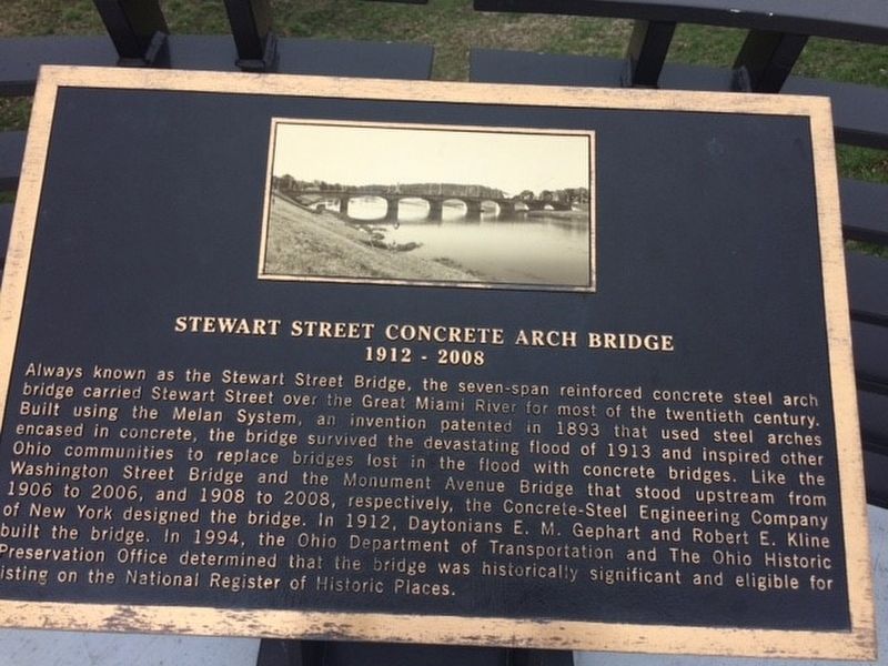
Photographed by Michael Baker
1. Stewart Street Concrete Arch Bridge Marker
Topics. This historical marker is listed in this topic list: Bridges & Viaducts. A significant historical year for this entry is 1912.
Location. 39° 44.386′ N, 84° 11.671′ W. Marker is in Dayton, Ohio, in Montgomery
this page online

Regionally, this marker is in Ohio’s Miami Valley. It is also in the American Midwest and in the Corn Belt. Globally, it is in North America, the Western Hemisphere, the Western World, and the Anglosphere. Historically, it finds itself in what was once the Haudenosaunee (Iroquois) Confederacy, the territory of the Mississippian Culture, and the Northwest Territory.
Other nearby markers. At least 8 other markers are within walking distance of this marker: Viet Nam Veterans Memorial (approx. 0.2 miles away); The 93rd Regiment (approx. 0.4 miles away); Deeds Carillon (approx. 0.6 miles away); Miami Valley Hospital (approx. 0.6 miles away); Woodland Cemetery and Arboretum (approx. 0.7 miles away); The Patterson Homestead (approx. ¾ mile away); Carillon Park (approx. ¾ mile away); Carillon Brewing Company (approx. ¾ mile away). Touch for a list and map
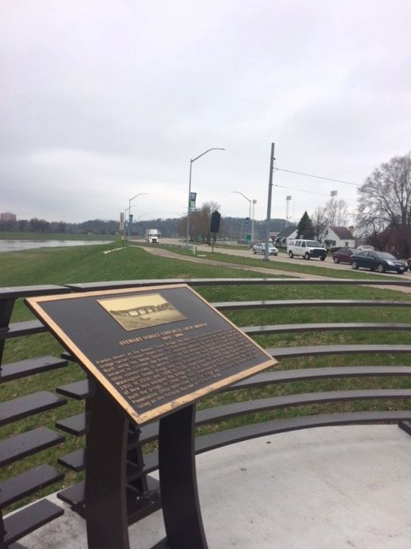
Photographed by Michael Baker
2. Stewart Street Concrete Arch Bridge Marker
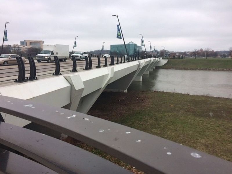
Regarding Stewart Street Concrete Arch Bridge. The bridge was demolished and a new one built in it's place.
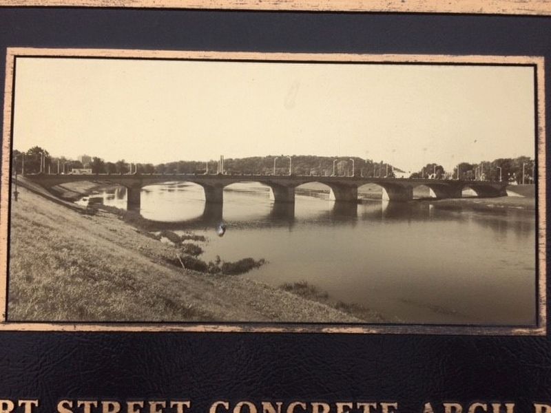
Photographed by Michael Baker
3. Stewart Street Concrete Arch Bridge Marker
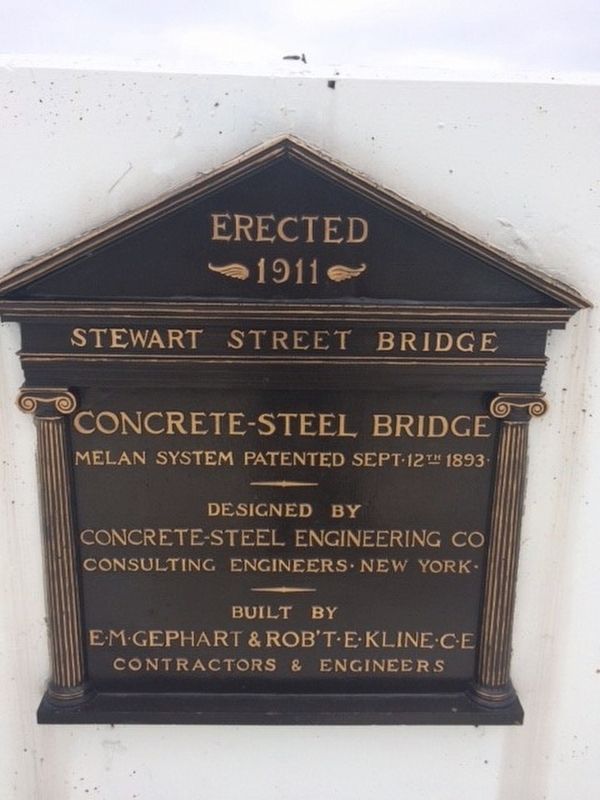
Photographed by Michael Baker
4. Stewart Street Concrete Arch Bridge Marker
Photographed by Michael Baker
5. The new bridge that replaced the one discussed in the marker.
Credits. This page was last revised on February 4, 2023. It was originally submitted on March 31, 2017, by Michael Baker of Lima, Ohio. This page has been viewed 692 times since then and 38 times this year. Photos: 1, 2, 3, 4, 5. submitted on March 31, 2017, by Michael Baker of Lima, Ohio. • Bill Pfingsten was the editor who published this page.
