Spencer in Rowan County, North Carolina — The American South (South Atlantic)
Signals
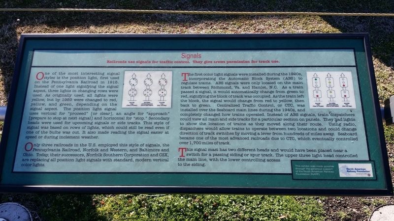
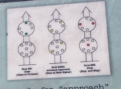
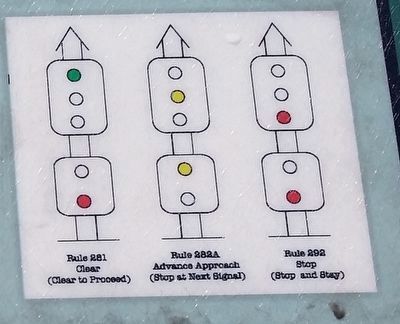
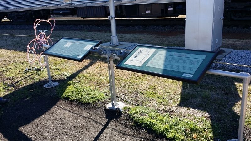
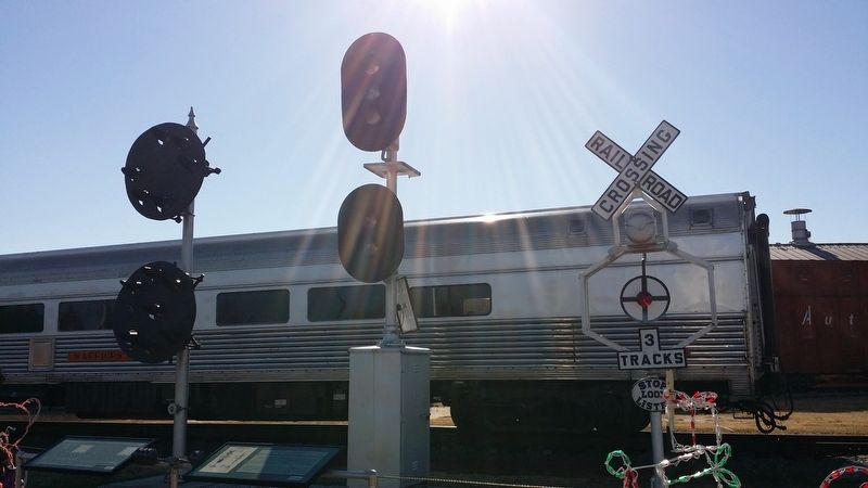
One of the most interesting signal styles is the position light, first used on the Pennsylvania Railroad in 1915. Instead of one light signifying the signal aspect, three lights in changing rows were used. As originally used, all lights were yellow, but by 1959 were changed to red, yellow, and green, depending on the signal aspect. The position light signal uses vertical for "proceed" [or clear], an angle for "approach" [prepare to stop at next signal] and horizontal for "stop. " Secondary heads were used for upcoming signals or side tracks. This style of signal was based on rows of lights, which could still be read even if one of the bulbs was out. It also made reading the signal easier at speed or during inclement weather.
Only three railroads in the U.S. employed this style of signals, the Pennsylvania Railroad, Norfolk and Western, and Baltimore and Ohio. Today, their successors, Norfolk Southern Corporation and CSX, are replacing all position light signals with standard, modern vertical color lights.
The first color light signals were installed during the 1920s, incorporating the Automatic Block System (ABS) to regulate trains. ABS signals were only located on the main track between Richmond, Va. and Hamlet, N.C. As a train passed a signal, it would automatically change from green to red, signifying the block of track was occupied. As the train left the block, the signal would change from red to yellow, then back to green. Centralized Traffic Control, or OTC, was installed over the Seaboard main lines during the 1940s, and completely changed how trains operated. Instead of ABS signals, train dispatchers could view all main and side tracks for a particular section on panels. They lights to show the location of trains as they moved along their route. Using radio, dispatchers would allow trains to operate between two locations and could change direction of track switches by moving a lever from hundreds of miles away. Seaboard became one of the most advanced railroads due to CTC, which eventually controlled over 1 , 700 miles of track.
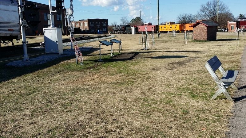
This signal mast has two different heads and would have been placed near a switch for a passing siding or spur track. The, upper three light head controlled the main line, with the lower controlling access to the siding.
This exhibit was made through the generous support of the North American Railway Foundation (NARF)
Erected by North American Railway Foundation.
Topics. This historical marker is listed in these topic lists: Railroads & Streetcars • Roads & Vehicles. A significant historical year for this entry is 1915.
Location. 35° 41.277′ N, 80° 25.945′ W. Marker is in Spencer, North Carolina, in Rowan County. Marker can be reached from South Salisbury Avenue. Marker is located on the grounds of the NC Transportation Museum. Touch for map. Marker is at or near this postal address: 411 S Salisbury Ave, Spencer, NC 28159, Spencer NC 28159, United States of America. Touch for directions.
Other nearby markers. At least 8 other markers are within walking distance of this marker. Magnetic Signal Company (here, next to this marker); Food Lion LLC (within shouting distance of this marker); Food Lion Trailer No. 893615 (within shouting distance of this marker); Historic Spencer Shops (about 600 feet away, measured in a direct line); Town of Spencer (about 700 feet away); The Muscle of Spencer Shops (about 700 feet away); Southern Public Utilities Co. 1927 Streetcar #85 (approx. 0.2 miles away); Spencer Shops Roundhouse and Turntable (approx. 0.2 miles away). Touch for a list and map of all markers in Spencer.
Credits. This page was last revised on April 1, 2017. It was originally submitted on April 1, 2017, by Michael C. Wilcox of Winston-Salem, North Carolina. This page has been viewed 443 times since then and 16 times this year. Photos: 1, 2, 3, 4, 5, 6. submitted on April 1, 2017, by Michael C. Wilcox of Winston-Salem, North Carolina.
