St. Clair Shores in Macomb County, Michigan — The American Midwest (Great Lakes)
Selinsky-Green Log House
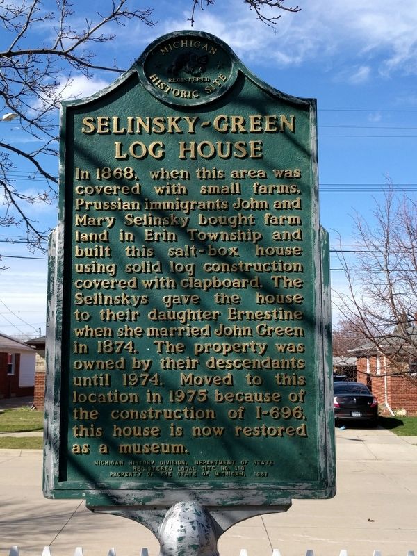
Photographed by Joel Seewald, April 1, 2017
1. Selinsky-Green Log House Marker
Erected 1981 by Michigan History Division, Department of State. (Marker Number L618.)
Topics and series. This historical marker is listed in this topic list: Settlements & Settlers. In addition, it is included in the Michigan Historical Commission series list. A significant historical year for this entry is 1868.
Location. 42° 29.791′ N, 82° 53.2′ W. Marker is in St. Clair Shores, Michigan, in Macomb County. It is on East Eleven Mile Road 0.1 miles east of Jefferson Avenue, on the right when traveling east. Touch for map. Marker is in this post office area: Saint Clair Shores MI 48081, United States of America. Touch for directions.

Regionally, this marker
this page online
Other nearby markers. At least 8 other markers are within 2 miles of this marker, measured as the crow flies: Lake St. Clair (Lac Sainte Claire) (about 300 feet away, measured in a direct line); Lake Shore Church (about 500 feet away); VFW Post 1146 Veterans Memorial (approx. 0.3 miles away); Corporal Walter F. Bruce VFW Post 1146 (approx. 0.3 miles away); St. Gertrude Roman Catholic Church (approx. half a mile away); the Davis Block (approx. 0.6 miles away); St. Clair Shores Police Officers Gordon McAllister and Harry Davis (approx. 1.2 miles away); Labadie Farm (approx. 1.3 miles away). Touch for a list and map of all markers in St. Clair Shores.
Also see . . . Selinsky-Green Farmhouse Museum. Museum page on the St. Clair Shores Public Library's website. (Submitted on April 4, 2017, by Joel Seewald of Madison Heights, Michigan.)
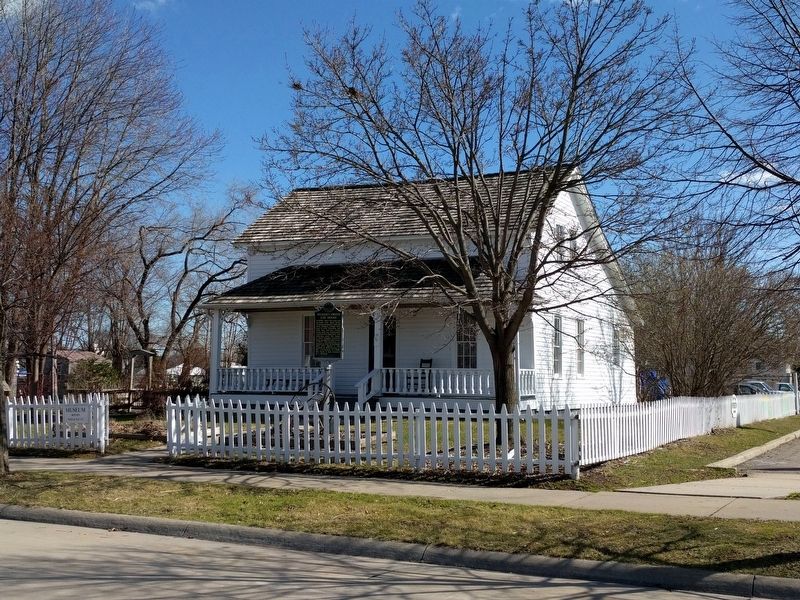
Photographed by Joel Seewald, April 1, 2017
2. Selinsky-Green Log House and Marker

Photographed by Joel Seewald, April 1, 2017
3. Selinsky-Green Museum Farmhouse Sign
Credits. This page was last revised on April 4, 2017. It was originally submitted on April 4, 2017, by Joel Seewald of Madison Heights, Michigan. This page has been viewed 1,067 times since then and 50 times this year. Photos: 1, 2, 3. submitted on April 4, 2017, by Joel Seewald of Madison Heights, Michigan.
