Near Sebastopol in Sonoma County, California — The American West (Pacific Coastal)
Sturgeons Mill
Photographed by Barry Swackhamer, March 28, 2017
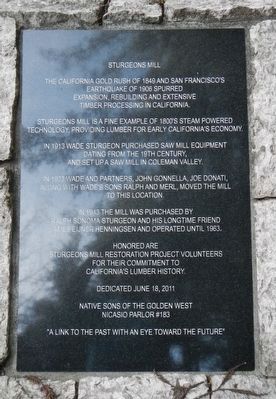
1. Sturgeons Mill Marker
Sturgeons Mill is a fine example of 1800's steam powered technology, providing lumber for early California's economy.
In 1913 Wade Sturgeon purchased saw mill equipment dating from the 19th century, and set up a saw mill in Coleman Valley.
In 1923 Wade and partners, John Gonnella, Joe Donati, along with Wade's sons Ralph and Merl, moved the mill to this location.
In 1943 the mill was purchased by Ralph Sonoma Sturgeon and his long time friend James Eijner Henningsen and operated until 1963.
Honored are Sturgeons Mill restoration project volunteers for their commitment to California's lumber history.
"A link to the past with an eye toward the future"
Erected 2011 by Native Sons of the Golden West, Nicasio Parlor No. 183.
Topics and series. This historical marker is listed in these topic lists: Horticulture & Forestry • Industry & Commerce. In addition, it is included in the Native Sons/Daughters of the Golden West series list. A significant historical year for this entry is 1849.
Location. 38° 24.765′ N,
this page online

Regionally, this marker is in California’s Wine Country, in the San Francisco Bay Area, in the North Coast, and specifically on the Coast Ranges. It is also on the American Pacific Coast. Globally, it is in North America, on the Ring of Fire, on the Pacific Rim, in the Western Hemisphere, in the Western World, and in the Anglosphere. Historically, it finds itself in what was once New Spain and also Mexico’s Alta California.
Other nearby markers. At least 8 other markers are within 6 miles of this marker, measured as the crow flies: A different marker also named Sturgeon's Mill (here, next to this marker); Occidental Union Hotel (approx. 2.8 miles away); Freestone House (approx. 3 miles away); Votes For Women (approx. 3.9 miles away); Hogan Building (approx. 4.1 miles away); Running Fence
Photographed by Barry Swackhamer, March 28, 2017
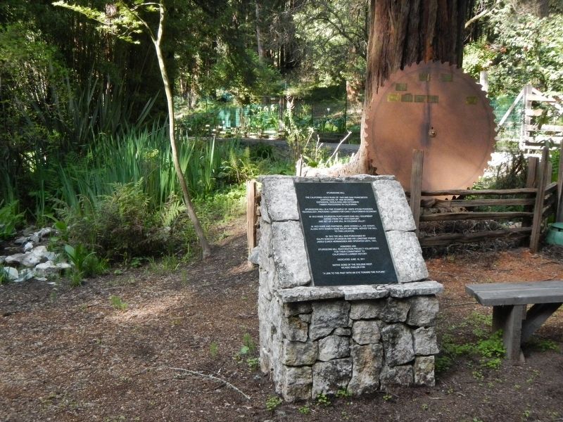
2. Sturgeons Mill Marker
Credits. This page was last revised on April 6, 2017. It was originally submitted on April 6, 2017, by Barry Swackhamer of Brentwood, California. This page has been viewed 602 times since then and 37 times this year. Photos: 1, 2. submitted on April 6, 2017, by Barry Swackhamer of Brentwood, California.
