
Near Correctionville in Woodbury County, Iowa — The American Midwest (Upper Plains)
Strong, Simple and Economical
Photographed by Ruth VanSteenwyk, April 1, 2017
1. Strong, Simple and Economical Marker
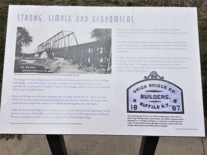
This bridge is a type of bridge patented in 1844, by Thomas and Caleb Pratt. The first Pratt truss bridges were wood designs, but when wrought iron and then steel became more available, the design quickly switched to metal. Metal bridges could handle heavier loads and didn't require frequent repair.
Pratt truss bridges were the most common type of bridge used in the late 1800s and early 1900s, because they were economical to fabricate and simple to assemble. The design used standard-sized components, and trusses could be joined together for wider spans.
Today, the Pratt truss bridge is a vanishing type of structure. Because of its significance to the history of this area, this bridge was refurbished. It reminds us of the importance of railroads to Iowa's development and provides an example of late 1800s bridge design.
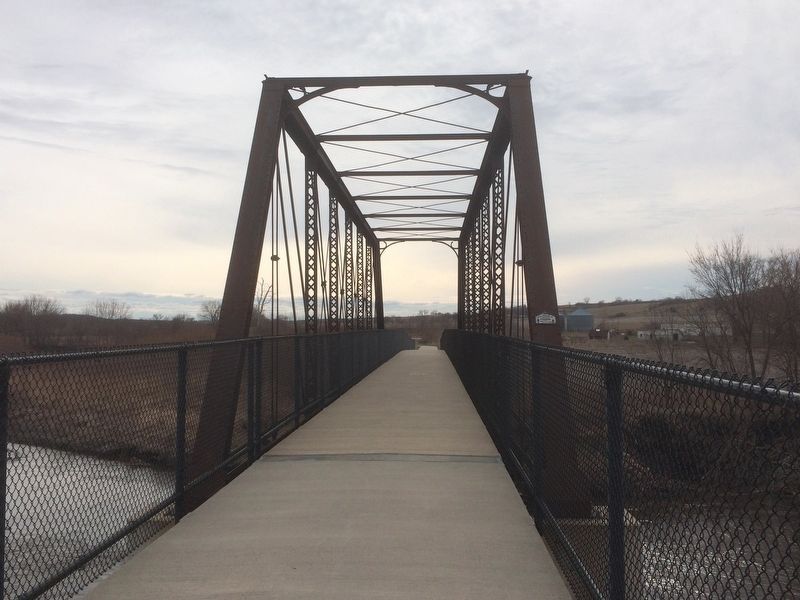
The bridge to your left was constructed in 1887 for the Illinois Central Railroad. For nearly 90 years it carried trains across the Little Sioux River.
This 1900 view of the bridge was taken at a time when several trains crossed it each day. Train traffic began declining in the 1950s and the tracks
this page online
In 2006, the bridge underwent historic rehabilitation. This preserved the bridge and provided a river crossing for the trail connection to Little Sioux Park. The original west steel span and stone piers remain. The wooden trestle approaches were deteriorating and were replaced with steel piling bents.
This photograph shows on of the bridge plates that adorns this bridge. Bridge plates, also known as builders plaques, were displayed on a bridge crossbeam or end post to advertise the name of the builder. Union Bridge Company, which built this bridge, fabricated many Midwestern bridges.
Topics. This historical marker is listed in these topic lists: Bridges & Viaducts • Railroads & Streetcars.
Location. 42° 28.051′ N, 95° 47.612′ W. Marker is near Correctionville, Iowa, in Woodbury County. It can be reached from Union Bridge Trail half a mile south of Highway 31. Marker is reached by hiking or biking towards Little Sioux Park on the Union Bridge Trail. There is parking for the trail off 2nd Street near the GAR
Photographed by Ruth VanSteenwyk, April 1, 2017
2. Strong, Simple and Economical Marker

Regionally, this marker is in Western Iowa and in Loess Hills. It is also in the American Midwest, in the Lewis & Clark Corridor, and in the Corn Belt. Globally, it is in North America, the Western Hemisphere, the Western World, and the Anglosphere. Historically, it finds itself in what was once the territory of the Mississippian Culture and also the Louisiana Purchase.
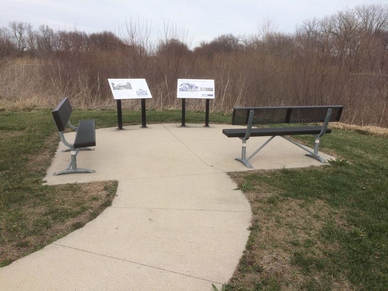
Other nearby markers. At least 8 other markers are within 12 miles of this marker, measured as the crow flies: Correctionville's Engine for Growth (here, next to this marker); Veteran's Memorial (approx. half a mile away); Built for a Lifetime of Service (approx. half a mile away); How Correctionville Got Its Name! (approx. 0.6 miles away); Russ Dixon (approx. 1.2 miles away); Woodbury County Freedom Rock Veterans Memorial (approx. 6½ miles away); Theobald Subwatershed (approx. 9.4 miles away); Kingsley Freedom Rock Veterans Memorial (approx. 12 miles away). Touch for a list and map of all markers in Correctionville.
Additional keywords. Little
Photographed by Ruth VanSteenwyk, April 1, 2017
3. Union Bridge
Credits. This page was last revised on April 10, 2017. It was originally submitted on April 9, 2017, by Ruth VanSteenwyk of Aberdeen, South Dakota. This page has been viewed 490 times since then and 22 times this year. Photos: 1, 2, 3. submitted on April 9, 2017, by Ruth VanSteenwyk of Aberdeen, South Dakota. • Bill Pfingsten was the editor who published this page.
