Gwynns Falls Park at Frederick Avenue
Gwynns Falls Trail
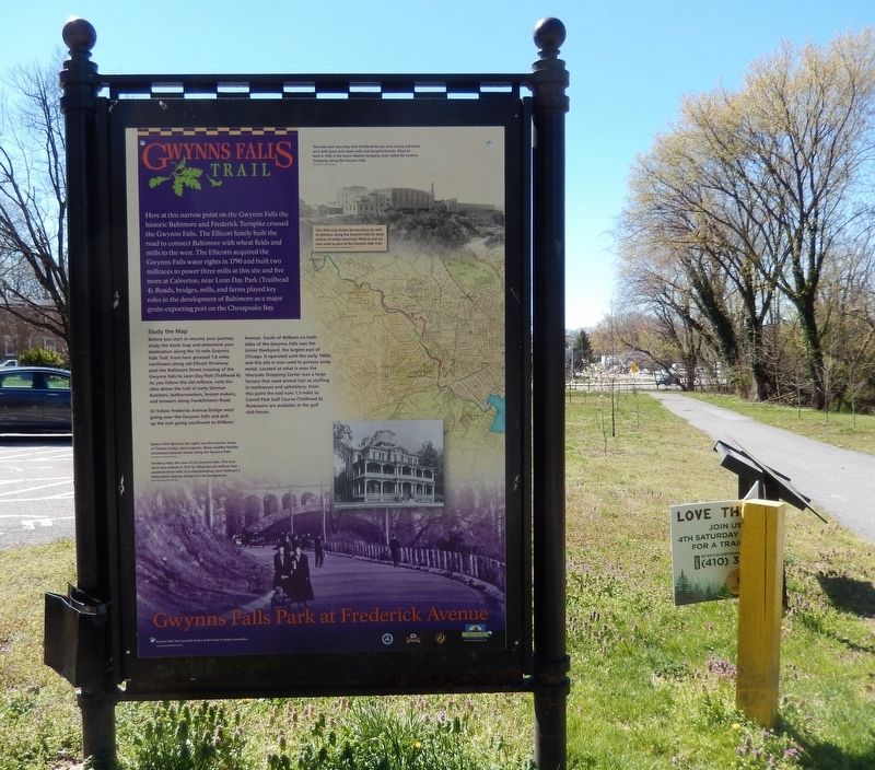
Here at this narrow point in the Gwynns Falls the historic Baltimore and Frederick Turnpike crossed the Gwynns Falls. The Ellicott family built the road to connect Baltimore with the wheat fields and mills to the west. The Ellicotts acquired the Gwynns Falls water rights in 1790 and built two millraces to power three mills at his site and five more at Calverton, near Leon Day Park (Trailhead 4). Roads, bridges, mills, and farms played key roles in the development of Baltimore as a major grain-exporting port on the Chesapeake Bay.
Study the Map
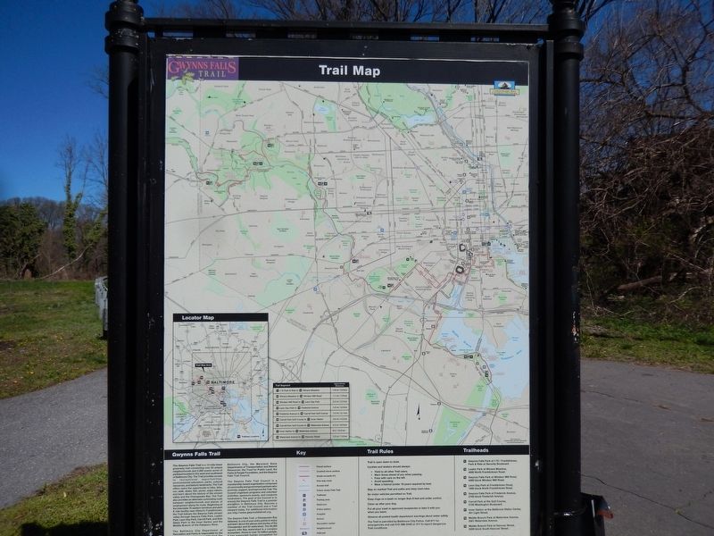
Before you start or resume your journey, study the kiosk map and determine your destination along the 15-mile Gwynns Falls Trail. From here proceed `1.8 miles northwest along the old Ellicott Driveway past the Baltimore Street crossing of the Gwynns Falls to Leon Day Park (Trailhead 4). As you follow the old millrace, note the sites above the trail of early German butchers, leatherworkers, broom makers, and brewers along Franklintown Road.
Or follow Frederick Avenue bridge west going over the Gwynns Falls and pick up the trail going southwest to Wilkens Avenue. South of Wilkens on both sides of the Gwynns Falls was the Union Stockyard, the largest east of Chicago. It operated until the early 1960s, and this site is now used to process scrap metal. Located at what is now
the Westside Shopping Center was a large factory that used animal hair as stuffing in mattresses and upholstery. From this point the trail runs 1.3 miles to Carroll Park Golf Course (Trailhead 6). Restrooms are available at the golf club house.
(Inscription above the image in the bottom left)
Radnor Park Mansion (far right) was the summer home of Thomas Canby, spice importer. Many wealthy families maintained summer homes along the Gwynns Falls.
Strollers enjoy the view of Gwynns Falls. This river drive was created in 1917 by filling the old millrace that powered three mills at Frederick Avenue, now Trailhead 5. Edmondson Avenue bridge is in the background.
(Inscription above the image in the upper right)
The area near Leon Day Park (Trialhead 4) was once a busy industrial area with grain and carpet mills and slaughterhouses. Pictured here in 1926 is the Union Abatoir Company, later called the Corkran Company, along the Gwynns Falls.
(Image above the map on the right)
This 1878 map shows the location (in red) of millraces along the Gwynns Falls (in blue) several of which were later filled in and are now used as part of the Gwynns Falls Trail.
Topics. This historical marker is listed in this topic list: Industry & Commerce. A significant historical year for this entry is 1790.
Location. 39° 16.918′ N, 76° 39.578′
Other nearby markers. At least 8 other markers are within walking distance of this marker. Ellicott Flour Mills (here, next to this marker); Gwynns Falls Valley (a few steps from this marker); Rowhouses: a Baltimore Tradition (about 300 feet away, measured in a direct line); Mt. Olivet Cemetery (approx. ¼ mile away); Early Industries (approx. 0.4 miles away); World War II Memorial (approx. 0.4 miles away); Gwynns Falls Park at Wilkens Avenue (approx. 0.4 miles away); Early Transportation Routes (approx. 0.4 miles away). Touch for a list and map of all markers in Baltimore.
Credits. This page was last revised on February 17, 2021. It was originally submitted on April 10, 2017, by Don Morfe of Baltimore, Maryland. This page has been viewed 242 times since then and 30 times this year. Photos: 1, 2, 3. submitted on April 10, 2017, by Don Morfe of Baltimore, Maryland. • Bill Pfingsten was the editor who published this page.


