
Novato in Marin County, California — The American West (Pacific Coastal)
Novato Bank
826 Grant Avenue
Photographed by Barry Swackhamer, March 29, 2017
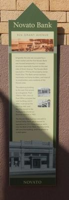
1. Novato Bank Marker
The adjoining building to the west first served as a drugstore. From 1934 to 1951, the U.S. Post Office occupied the west building, and in 1960, it served as the first City Hall, until the City moved to the Presbyterian Church on Sherman Avenue in 1963.
The Novato Bank business was sold to Central Valley Bank, which moved its operations to 1311 Grant Avenue and is now the Bank of the West. The Silva family still owes the building, and it is utilized as a retail space.
Erected by Novato Historical Guild.
Topics. This historical marker is listed in this topic list: Industry & Commerce. A significant historical year for this entry is 1913.
Location. 38° 6.432′ N, 122° 34.043′ W. Marker is in Novato, California, in Marin County. It is on Grant Avenue near Sherman
this page online

Regionally, this marker is in California’s San Francisco Bay Area, in the North Coast, and specifically on the Coast Ranges. It is also on the American Pacific Coast. Globally, it is in North America, on the Ring of Fire, in the Pacific Rim, in the Western Hemisphere, in the Western World, and in the Anglosphere. Historically, it finds itself in what was once New Spain and also Mexico’s Alta California.
Other nearby markers. At least 8 other markers are within walking distance of this marker: Novato Bank Building (here, next to this marker); DeBorba's (a few steps from this marker); Scott General Store (within shouting distance of this marker); Fashion Shop (within shouting distance of this marker); Druids Hall (within shouting distance of this marker); Druid's Hall/ Loustaunau's Hall (about 300 feet away, measured in a direct line); Novato's First Railroad Station (about 400 feet away); (Novato) City Hall (about 400 feet away). Touch for a list and map
Photographed by Barry Swackhamer, March 29, 2017
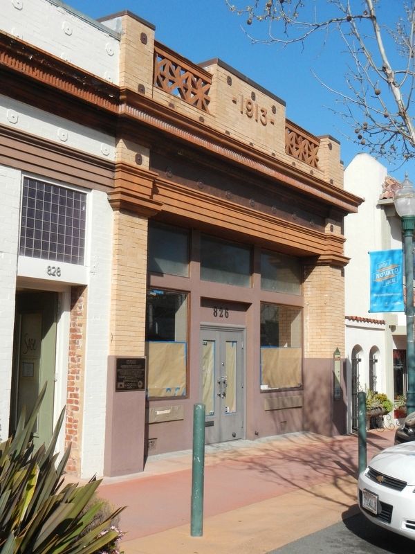
2. The former Novato Bank and Marker
This marker is on the right side of the building.
Photographed by Barry Swackhamer, March 29, 2017
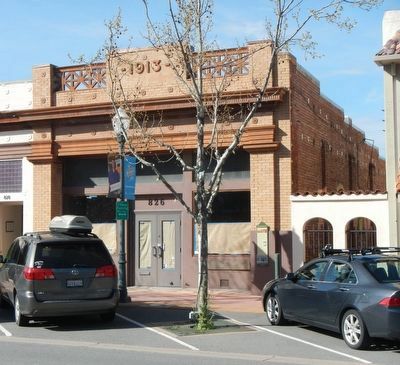
3. The former Novato Bank
Credits. This page was last revised on April 10, 2017. It was originally submitted on April 10, 2017, by Barry Swackhamer of Brentwood, California. This page has been viewed 484 times since then and 31 times this year. Photos: 1, 2, 3. submitted on April 10, 2017, by Barry Swackhamer of Brentwood, California.
