Tomales in Marin County, California — The American West (Pacific Coastal)
Tomales Presbyterian Church
Photographed by Barry Swackhamer, March 30, 2017
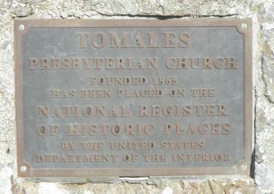
1. Tomales Presbyterian Church Marker
has been placed on the
National Register of Historic Places
by the United States Department of the Interior
Topics. This historical marker is listed in this topic list: Religion & Religious Structures. A significant historical year for this entry is 1865.
Location. 38° 14.718′ N, 122° 54.42′ W. Marker is in Tomales, California, in Marin County. It is on Church Street near Dillon Beach Road. Touch for map. Marker is at or near this postal address: 11 Church Street, Tomales CA 94971, United States of America. Touch for directions.

Regionally, this marker is in California’s San Francisco Bay Area, in the North Coast, and specifically on the Coast Ranges. It is also on the American Pacific Coast. Globally, it is in North America, on the Ring of Fire, on the Pacific Rim, in the Western Hemisphere, in the Western World, and in the Anglosphere. Historically, it finds itself in what was once New Spain and also Mexico’s Alta California.
Other nearby markers. At least 8 other markers are within 8 miles of this marker, measured as the crow flies: Warren Dutton House - Tomales Community Park
this page online
Photographed by Barry Swackhamer, March 30, 2017
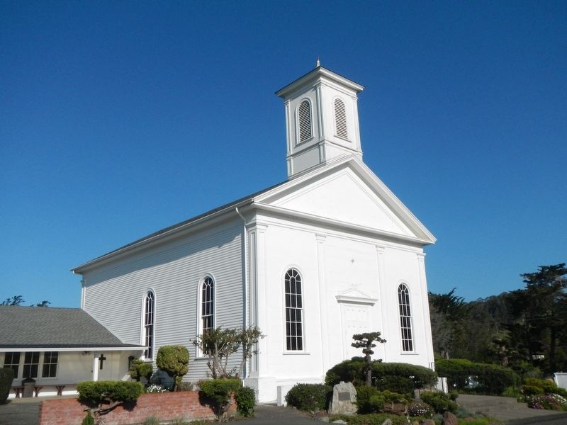
2. Tomales Presbyterian Church and Marker
Photographed by Barry Swackhamer, March 30, 2017
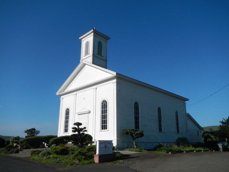
3. Tomales Presbyterian Church
Credits. This page was last revised on March 13, 2018. It was originally submitted on April 11, 2017, by Barry Swackhamer of Brentwood, California. This page has been viewed 310 times since then and 11 times this year. Photos: 1, 2, 3. submitted on April 11, 2017, by Barry Swackhamer of Brentwood, California.
