Starkville in Oktibbeha County, Mississippi — The American South (East South Central)
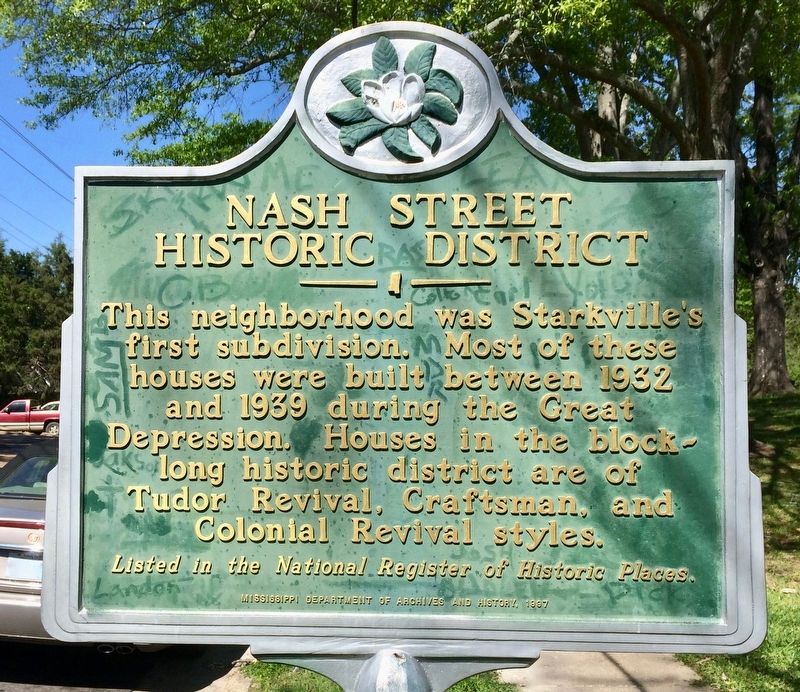
Nash Street Historic District
Photographed by Mark Hilton, April 9, 2017
1. Nash Street Historic District Marker
Erected 1997 by the Mississippi Department of Archives and History.
Topics and series. This historical marker is listed in these topic lists: Architecture • Notable Places. In addition, it is included in the Mississippi State Historical Marker Program series list. A significant historical year for this entry is 1932.
Location. 33° 27.755′ N, 88° 48.262′ W. Marker is in Starkville, Mississippi, in Oktibbeha County. It is on North Nash Street north of University Drive, on the right when traveling north. Touch for map. Marker is at or near this postal address: 103 North Nash Street, Starkville MS 39759, United States of America. Touch for directions.

Regionally, this marker is in East Mississippi, in the Black Prairie, and in the Golden Triangle. It is also in the American South, specifically in the Deep South, and in the
this page online
Other nearby markers. At least 8 other markers are within walking distance of this marker: Oktibbeha County Blues (approx. ¼ mile away); The Borden Milk Plant (approx. 0.3 miles away); Needmore Community (approx. 0.4 miles away); Oktibbeha Gardens (approx. half a mile away); First Presbyterian Church (approx. half a mile away); Starkville (approx. 0.6 miles away); Overstreet School District (approx. 0.6 miles away); First Baptist Church (approx. 0.6 miles away). Touch for a list and map of all markers in Starkville.
Photographed by Mark Hilton, April 9, 2017
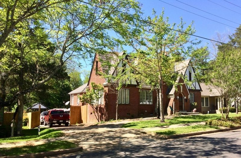
2. One of the homes in the Nash Street Historic District.
Photographed by Mark Hilton, April 9, 2017
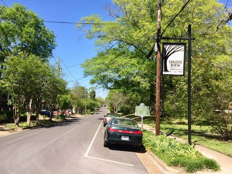
3. View of a portion of the historic district and the marker.
Photographed by Mark Hilton, April 9, 2017
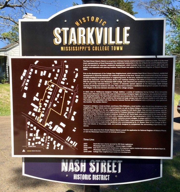
4. Another Nash Street Historic District Marker.
Shows the district within the overall area. Located on College View Drive, about 500 feet north of this marker.
Credits. This page was last revised on April 11, 2017. It was originally submitted on April 11, 2017, by Mark Hilton of Montgomery, Alabama. This page has been viewed 624 times since then and 39 times this year. Photos: 1, 2, 3, 4. submitted on April 11, 2017, by Mark Hilton of Montgomery, Alabama.
