Near Pontotoc in Pontotoc County, Mississippi — The American South (East South Central)
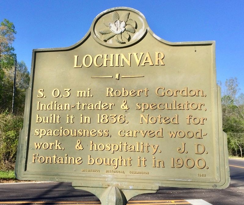
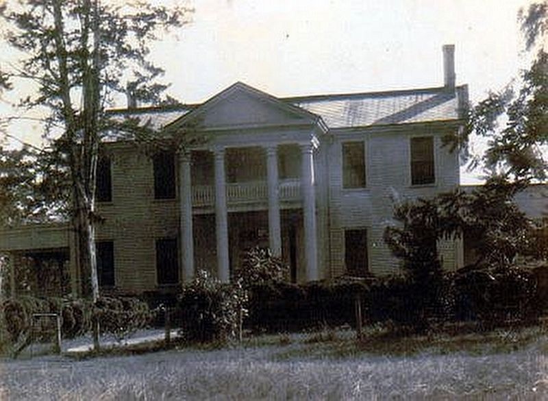
Lochinvar
Erected 1958 by the Mississippi Historical Commission.
Topics and series. This historical marker is listed in this topic list: Notable Buildings. In addition, it is included in the Mississippi State Historical Marker Program series list. A significant historical year for this entry is 1836.
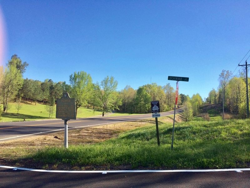
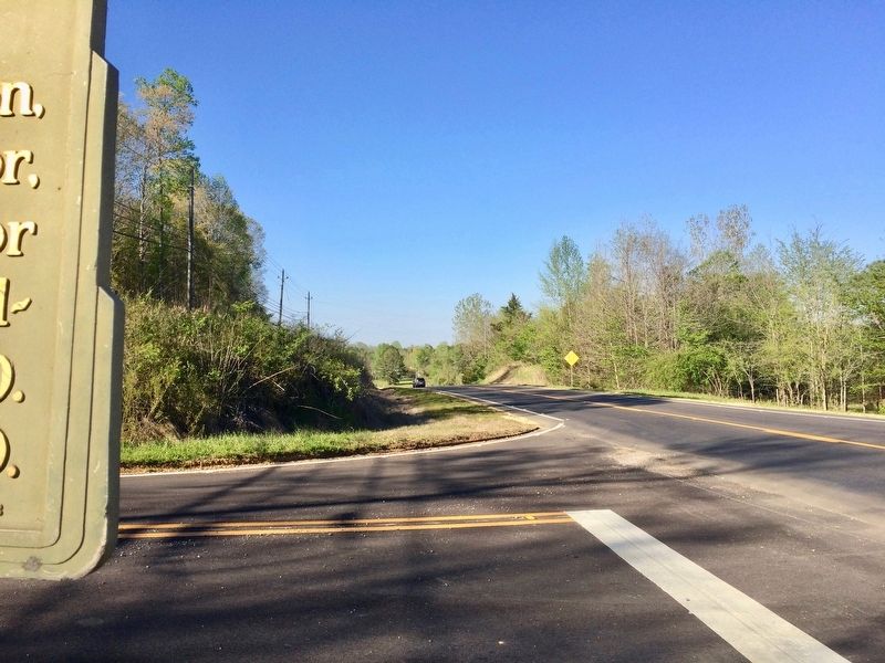
Location. 34° 13.102′ N, 89° 0.033′ W. Marker is near Pontotoc, Mississippi, in Pontotoc County. Marker is at the intersection of Mississippi Route 15 and Lochinvar Loop (County Road 141) on State Route 15. Touch for map. Marker is in this post office area: Pontotoc MS 38863, United States of America. Touch for directions.
Other nearby markers. At least 8 other markers are within 3 miles of this marker, measured as the crow flies. Chickasaw Female College (approx. 1.7 miles away); Pontotoc County Memorial Monument (approx. 2 miles away); Pierre D'Artaguiette (approx. 2 miles away); Pontotoc County Confederate Monument (approx. 2 miles away); Pontotoc Creek Treaty (approx. 2 miles away); Pontotoc County Blues (approx. 2 miles away); Pontotoc Electric Power Association (approx. 2.1 miles away); Jim Weatherly (approx. 2.4 miles away). Touch for a list and map of all markers in Pontotoc.
Also see . . . Wikipedia article on Lochinvar (Pontotoc, Mississippi). (Submitted on April 12, 2017, by Mark Hilton of Montgomery, Alabama.)
Credits. This page was last revised on April 14, 2017. It was originally submitted on April 12, 2017, by Mark Hilton of Montgomery, Alabama. This page has been viewed 523 times since then and 60 times this year. Photos: 1, 2, 3, 4, 5. submitted on April 12, 2017, by Mark Hilton of Montgomery, Alabama.
