Oxford in Lafayette County, Mississippi — The American South (East South Central)
Freedmen Town
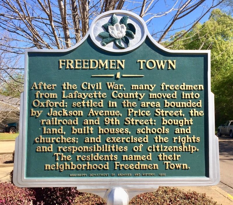
Photographed by Mark Hilton, April 8, 2017
1. Freedmen Town Marker
Erected 1996 by the Mississippi Department of Archives and History.
Topics and series. This historical marker is listed in this topic list: African Americans. In addition, it is included in the Mississippi State Historical Marker Program series list.
Location. 34° 22.056′ N, 89° 31.404′ W. Marker is in Oxford, Mississippi, in Lafayette County. It is at the intersection of Martin Luther King Jr Drive and East Jackson Avenue (State Route 314), on the right when traveling south on Martin Luther King Jr Drive. Touch for map. Marker is at or near this postal address: 611 Jackson Avenue East, Oxford MS 38655, United States of America. Touch for directions.

Regionally, this marker is in the North Mississippi Hills. It is also in the American South
this page online
Other nearby markers. At least 8 other markers are within walking distance of this marker: Burns "Belfry" Church (within shouting distance of this marker); Mississippi Central R.R. Campaign (within shouting distance of this marker); Theora Hamblett House (about 300 feet away, measured in a direct line); First Baptist Church (about 700 feet away); St. Peter's (1851), Episcopal (about 700 feet away); Delta Gamma Fraternity (approx. 0.2 miles away); Oxford-University United Methodist Church (approx. ¼ mile away); Dr. Thomas Isom's Drug Store and Medical Office (approx. ¼ mile away). Touch for a list and map of all markers in Oxford.
Also see . . . Oxford Eagle article: Freedmen Town changing with time but still home to longtime residents. (Submitted on April 17, 2017, by Mark Hilton of Montgomery, Alabama.)
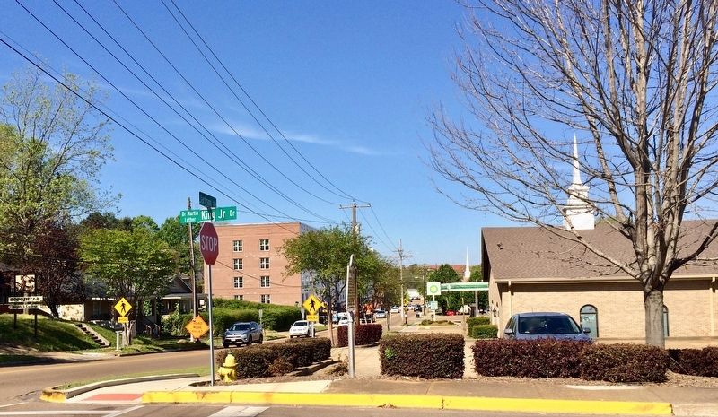
Photographed by Mark Hilton, April 8, 2017
2. View west on Jackson Avenue, marker can be seen to right of hydrant.
Credits. This page was last revised on April 17, 2017. It was originally submitted on April 17, 2017, by Mark Hilton of Montgomery, Alabama. This page has been viewed 1,466 times since then and 233 times this year. Photos: 1, 2. submitted on April 17, 2017, by Mark Hilton of Montgomery, Alabama.
