Hot Springs in Garland County, Arkansas — The American South (West South Central)
304
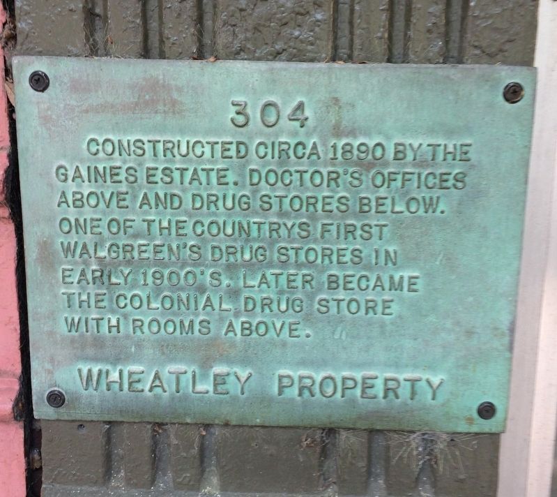
Photographed by Steve Masler, April 8, 2017
1. 304 Marker
Topics. This historical marker is listed in this topic list: Industry & Commerce. A significant historical year for this entry is 1890.
Location. 34° 30.942′ N, 93° 3.214′ W. Marker is in Hot Springs, Arkansas, in Garland County. It is on Central Avenue (State Highway 7) just south of Fountain Street, on the left when traveling north. Touch for map. Marker is at or near this postal address: 304 Central Avenue, Hot Springs National Park AR 71901, United States of America. Touch for directions.

Regionally, this marker is in Arkansas’ Ouachita Mountains. It is also in the American South and specifically in the Upper South. Globally, it is in North America, the Western Hemisphere, the Western World, and the Anglosphere. Historically, it finds itself in what was once the territory of the Mississippian Culture, the Louisiana Purchase, one of the Confederate States of America, and
this page online
Other nearby markers. At least 8 other markers are within walking distance of this marker: 308 (a few steps from this marker); Hot Springs' Postwar Boom (a few steps from this marker); 260 (a few steps from this marker); Competing Claims for Hot Springs (a few steps from this marker); Bathhouse Row (a few steps from this marker); Hot Action in Hot Springs (within shouting distance of this marker); “A Modern and First Class Hotel” (within shouting distance of this marker); Hot Springs (within shouting distance of this marker). Touch for a list and map of all markers in Hot Springs.
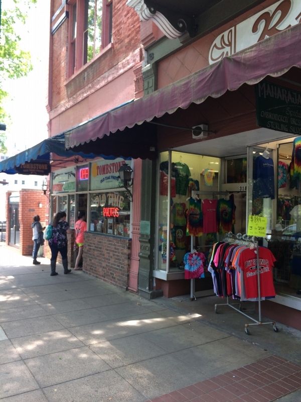
Photographed by Steve Masler, April 8, 2017
2. 304 Marker
Credits. This page was last revised on April 21, 2017. It was originally submitted on April 20, 2017, by Steve Masler of Memphis, Tennessee. This page has been viewed 898 times since then and 31 times this year. Photos: 1, 2. submitted on April 20, 2017, by Steve Masler of Memphis, Tennessee. • Bill Pfingsten was the editor who published this page.
