Hammond in Tangipahoa Parish, Louisiana — The American South (West South Central)
Friendship Circle
April 22, 2017
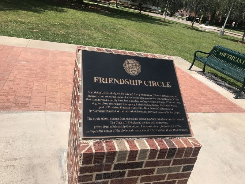
1. Friendship Circle Marker
A grant from the Federal Emergency Relief Administration for Public Works, part of President Franklin Roosevelt's New Deal and administered by Governor Richard W. Leche's administration, provided funding for the project.
The circle takes its name from the stately Friendship Oak, which anchors its east end. The Class of 1956 planted the live oak to the west, grown from a Friendship Oak acorn. A magnolia tree, planted in the 1970s, occupies the center of the circle and commemorates the founders of Phi Mu Fraternity.
Erected by Southeastern Louisiana University.
Topics and series. This historical marker is listed in these topic lists: Architecture • Education • Horticulture & Forestry. In addition, it is included in the Former U.S. Presidents: #32 Franklin D. Roosevelt series list.
Location. 30° 30.729′ N, 90° 28.052′ W.
this page online

Regionally, this marker is in the Florida Parishes and in Greater New Orleans. It is also in the American South, specifically in the Deep South, and on the Gulf Coast. Globally, it is in North America, a Gulf of Mexico state, the Western Hemisphere, the Western World, and the Anglosphere. Historically, it finds itself in what was once New Spain, the territory of the Mississippian Culture, the Louisiana Purchase, one of the Confederate States of America, and the Antebellum South.
Other nearby markers. At least 8 other markers are within 6 miles of this marker, measured as the crow flies: Site of 1st Classroom Bldg. (within shouting distance of this marker); Grace Memorial Episcopal Church (approx. half a mile away); City Of Hammond (approx. half a mile away); Mt. Vernon Walnut (approx. 0.6 miles away); Hammond Junior College (approx. 0.7 miles
April 22, 2017
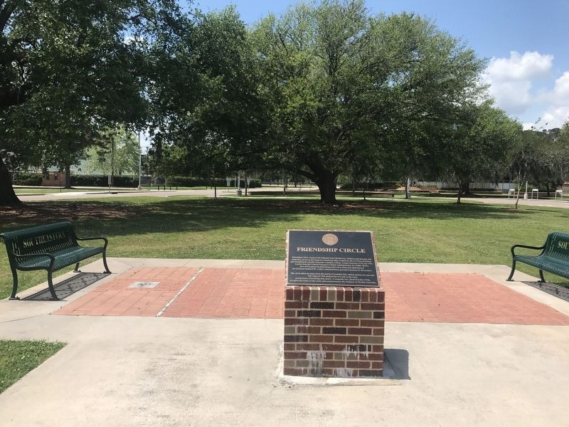
2. Friendship Circle Marker
Looking West
Other markers no longer nearby. Cate Square (was approx. 0.6 miles away but has been confirmed missing); Peter Hammond (was approx. 0.8 miles away but has been confirmed missing).
April 22, 2017
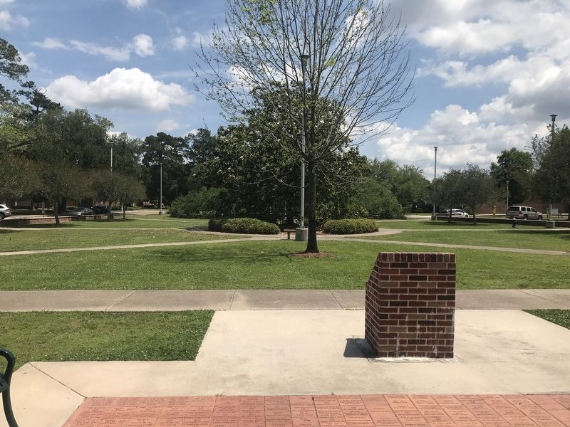
3. Friendship Circle Marker
Back of marker, looking east
April 22, 2017
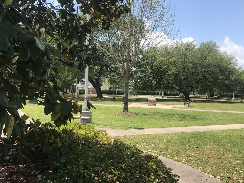
4. Friendship Circle Marker
Credits. This page was last revised on August 26, 2020. It was originally submitted on April 22, 2017, by Cajun Scrambler of Assumption, Louisiana. This page has been viewed 754 times since then and 43 times this year. Photos: 1, 2, 3, 4. submitted on April 22, 2017.
