Stockton in San Joaquin County, California — The American West (Pacific Coastal)
Stockton Jewish Community Center
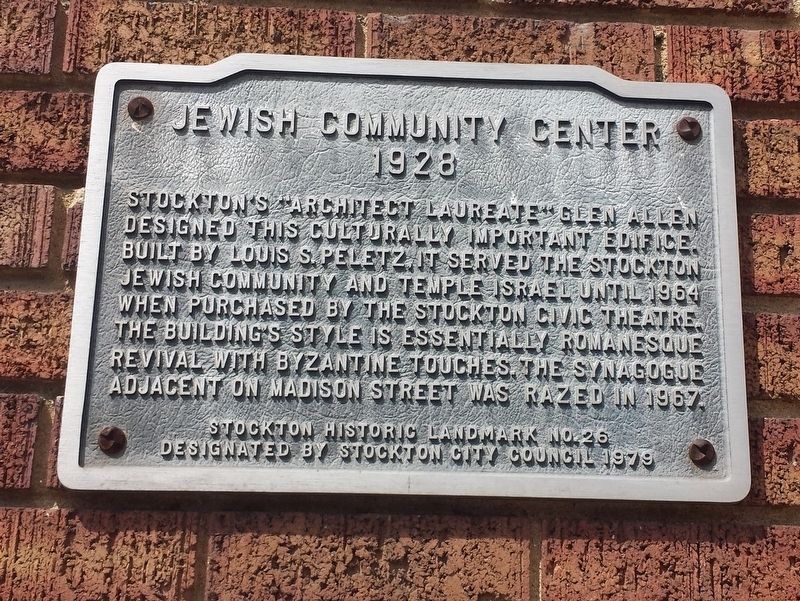
Photographed by Michael Herrick, April 25, 2017
1. Stockton Jewish Community Center Marker
1926
Designated by Stockton City Council 1979
Topics. This historical marker is listed in this topic list: Religion & Religious Structures.
Location. 37° 57.942′ N, 121° 17.855′ W. Marker is in Stockton, California, in San Joaquin County. It is at the intersection of N. Madison Street and W. Willow Street, on the right when traveling south on N. Madison Street. Touch for map. Marker is at or near this postal address: 1337 N Madison St, Stockton CA 95202, United States of America. Touch for directions.

Regionally, this marker is in the San Joaquin Valley and specifically in the Central Valley. It is also on the American Pacific Coast.
this page online
Other nearby markers. At least 8 other markers are within walking distance of this marker: El Dorado Elementary School (about 600 feet away, measured in a direct line); Hurrle-Weston Home (approx. 0.2 miles away); Dr. Cross House (approx. ¼ mile away); Dunne House (approx. 0.3 miles away); Edward B. Conde Home (approx. 0.4 miles away); Philomathean Clubhouse (approx. 0.4 miles away); Charles E. Owen Home (approx. 0.4 miles away); Newell House (approx. 0.4 miles away). Touch for a list and map of all markers in Stockton.
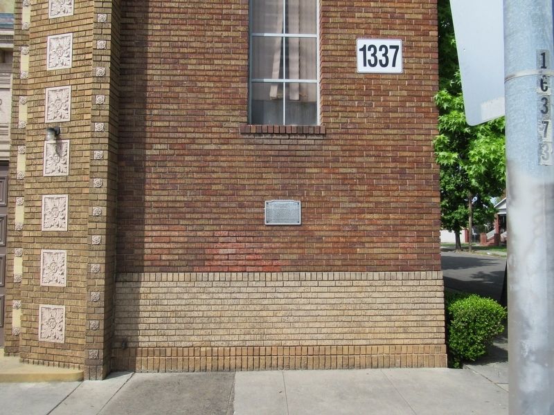
Photographed by Michael Herrick, April 25, 2017
2. Stockton Jewish Community Center Marker
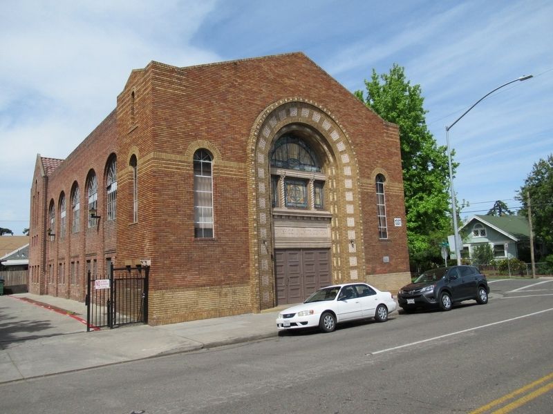
Photographed by Michael Herrick, April 25, 2017
3. Stockton Jewish Community Center
Credits. This page was last revised on April 26, 2017. It was originally submitted on April 26, 2017, by Michael Herrick of Southbury, Connecticut. This page has been viewed 1,324 times since then and 79 times this year. Photos: 1, 2, 3. submitted on April 26, 2017, by Michael Herrick of Southbury, Connecticut.
