Rayne in Acadia Parish, Louisiana — The American South (West South Central)
Pouppeville
Photographed by Cajun Scrambler, April 28, 2017
1. Pouppeville Marker
English Side
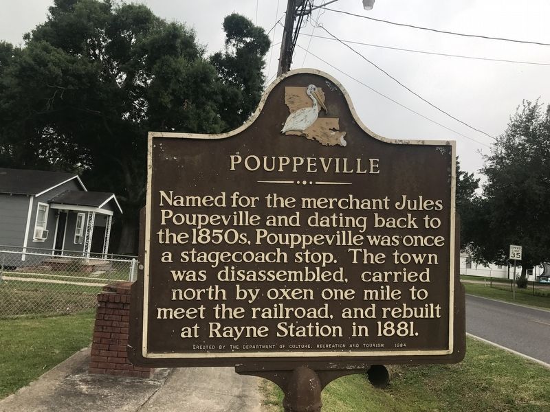
English:
Named for the merchant Jules Pouppeville and dating back to the 1850s, Pouppeville was once a stagecoach stop. The town was disassembled, carried north by oxen one mile to meet the railroad, and rebuilt at Rayne Station in 1881.
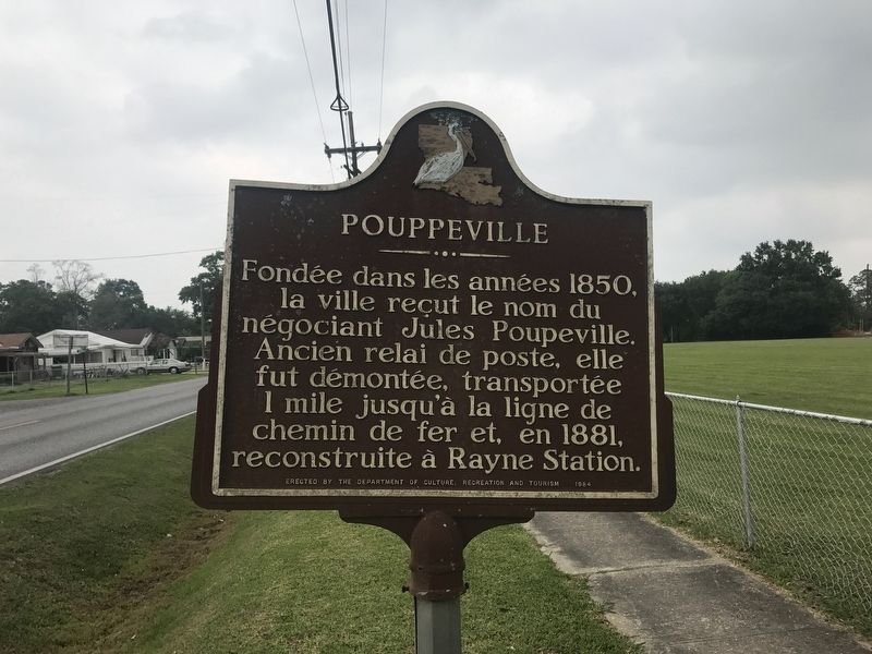
French:
Fondée dans les années 1850, la ville reçut le nom du négociant Jules Poupeville. Ancien relai de poste, elle fut démontée, transportée 1 mile jusqu'à la ligne de chemin de fer et, en 1881, reconstruite à Rayne Station.
Erected 1984 by The Department of Culture, Recreation and Tourism.
Topics. This historical marker is listed in this topic list: Settlements & Settlers.
Location. 30° 13.467′ N, 92° 16.155′ W. Marker is in Rayne, Louisiana, in Acadia Parish. It is on Abbeville Highway (State Highway 35) south of Sunset Drive, on the right when traveling north. Touch for map. Marker is at or near this postal address: 1202 LA 35, Rayne LA 70578, United States of America. Touch for directions.

Regionally, this marker is in Louisiana’s Acadiana — Cajun Country. It is also in the American South and specifically in the Deep
this page online
Other nearby markers. At least 8 other markers are within 7 miles of this marker, measured as the crow flies: Louisiana Frog Company (approx. 0.3 miles away); St. Joseph's Catholic Church & Cemetery (approx. half a mile away); Jacques Weil Company (approx. ¾ mile away); Rayne Depot Square (approx. ¾ mile away); People's Drug Store (approx. 0.8 miles away); The Bernard Bertrand Home (approx. 1.6 miles away); Crowley Louisiana Post Office 1913 (approx. 6.1 miles away); Senator John F. Kennedy Presidential Campaign Speech (approx. 6.3 miles away). Touch for a list and map of all markers in Rayne.
Photographed by Cajun Scrambler, April 28, 2017
2. Pouppeville Marker
French Side
Photographed by Cajun Scrambler, April 28, 2017
3. Pouppeville Marker
Photographed by Cajun Scrambler, April 28, 2017
4. Pouppeville Post Office Cornerstone
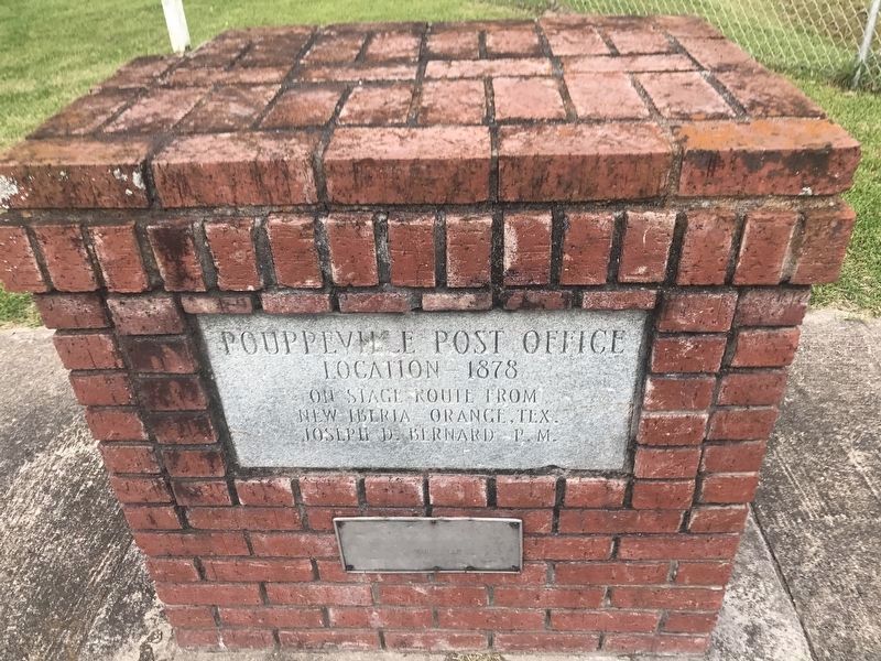
The cornerstone of the former location of the Pouppeville Post Office.
Credits. This page was last revised on January 26, 2024. It was originally submitted on April 28, 2017, by Cajun Scrambler of Assumption, Louisiana. This page has been viewed 2,065 times since then and 181 times this year. Photos: 1, 2, 3, 4. submitted on April 28, 2017.
