Zona Centro in San Francisco de Campeche in Campeche, Mexico — The Southeast (Yucatan Peninsula)
Governor's Palace
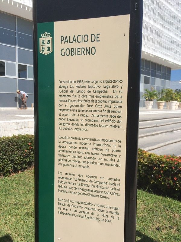
Palacio de Gobierno
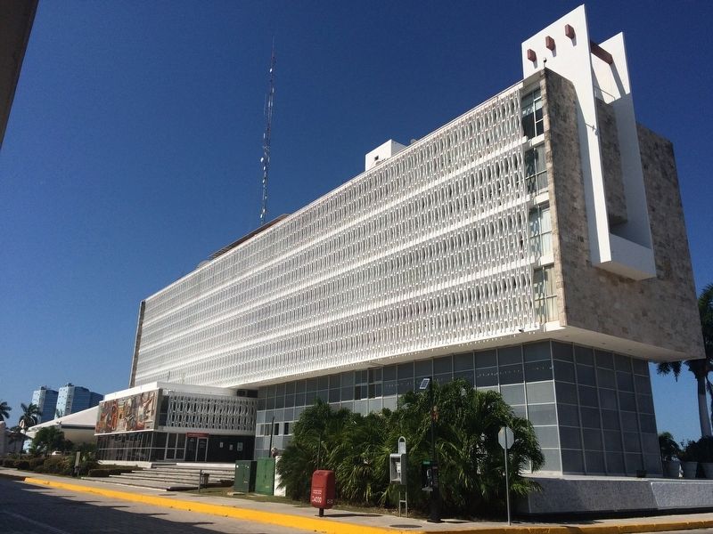
Construido en 1963, este conjunto arquitectónico alberga los Poderes Ejecutivo, Legislativo y Judicial del Estado de Campeche. En su momento, fue la obra más emblemática de la renovación arquitectónica de la capital, impulsada por el gobernador José Ortiz Ávila quien emprendía una serie de acciones a fin de renovar el aspecto de la ciudad. Actualmente sede del poder Ejecutivo, se acompaña del edificio del Congreso, donde los diputados locales celebran sus debates legislativos.
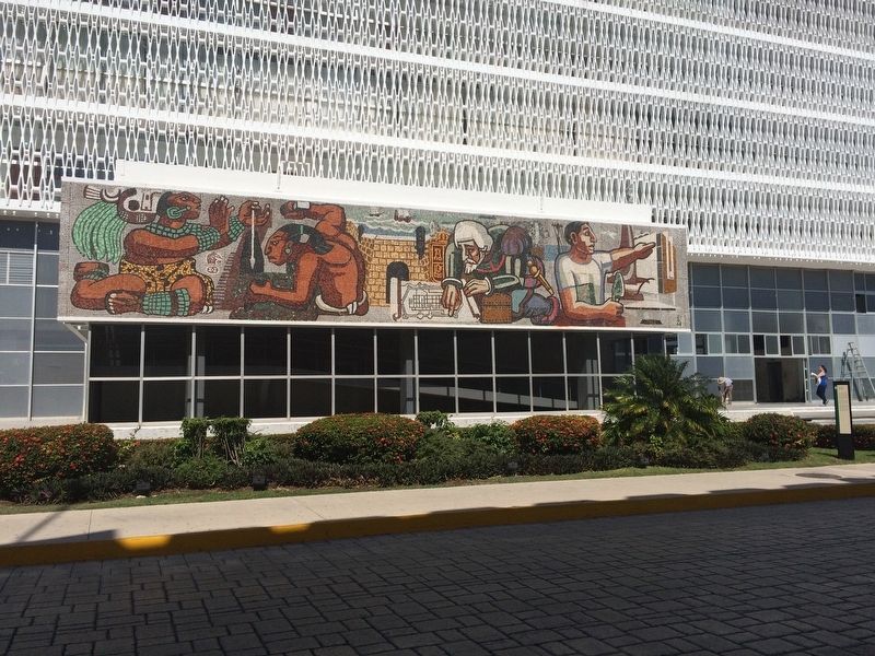
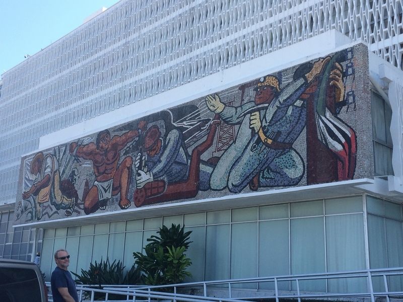
El edificio presenta características importantes de la arquitectura moderna internacional de la época, donde resaltan edificios de planta arquitectónica libre, con trazos horizontales y verticales limpios; adornado con murales de piedras de colores, que brindan monumentalidad e importancia al inmueble.
Los murales que adornan sus costados representan "El Progreso de Campeche" hacia el lado de tierra y "La Revolución Mexicana” hacia el lado de mar; obra del guanajuatense José Chávez Morado, alumno de José Clemente Orozco.
Este conjunto arquitectónico sustituyó al antiguo Palacio de Gobierno localizado sobre la muralla de mar a un costado de la Plaza de la Independencia, el cual fue derruido en 1963.
English:
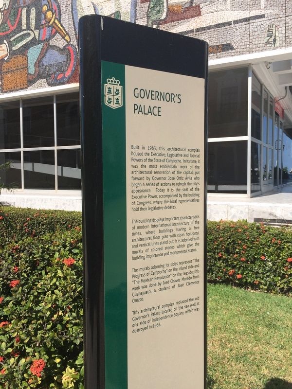
Governor’s Palace
Built in 1963, this architectural complex housed the Executive, Legislative and Judicial Powers of the State of Campeche. In its time, it was the most emblematic work of the architectural renovation of the capital, put forward by Governor José Ortiz Ávila who began a series of actions to refresh the city's appearance. Today it is the seat of the Executive Power, accompanied by the building of Congress, where the local representatives hold their legislative debates.
The building displays important characteristics of modern international architecture of the times, where buildings having a free architectural floor plan with clean horizontal and vertical lines stand out; it is adorned with murals of colored stones which give the building importance and monumental status.
The murals adorning its sides represent “The Progress of Campeche” on the inland side and “The Mexican Revolution” on the seaside; this work was done by José Chávez Morado from Guanajuato, a student of José Clemente Orozco.
This architectural complex replace the old Governor’s Palace located on the sea wall at one side of Independence Square, which was destroyed in 1963.
Topics. This historical marker is listed in these topic lists: Architecture • Arts, Letters, Music • Government & Politics • Man-Made Features. A significant historical year for this entry is 1963.
Location. 19° 50.714′ N, 90° 32.377′ W. Marker is in San Francisco de Campeche, Campeche. It is in Zona Centro. Marker is on Calle 8 just west of Calle 61, on the left when traveling east. Touch for map. Marker is at or near this postal address: Calle 8 640, San Francisco de Campeche CAMP 24000, Mexico. Touch for directions.
Other nearby markers. At least 8 other markers are within walking distance of this marker. The Bastion of San Carlos (about 120 meters away, measured in a direct line); “Tukulná” Handicrafts House (about 120 meters away); Gate to the Sea (about 150 meters away); Bastion of Our Lady of Solitude (about 210 meters away); The Birthplace of Justo Sierra Méndez (about 240 meters away); "The Palace" Cultural Center (about 240 meters away); Pedro Sainz de Baranda y Borreyro (approx. 0.3 kilometers away); Independence Square (approx. 0.3 kilometers away). Touch for a list and map of all markers in San Francisco de Campeche.
Credits. This page was last revised on April 29, 2017. It was originally submitted on April 29, 2017, by J. Makali Bruton of Accra, Ghana. This page has been viewed 311 times since then and 29 times this year. Photos: 1, 2, 3, 4, 5. submitted on April 29, 2017, by J. Makali Bruton of Accra, Ghana.
