
Bogalusa in Washington Parish, Louisiana — The American South (West South Central)
Bogalusa's Birthplace
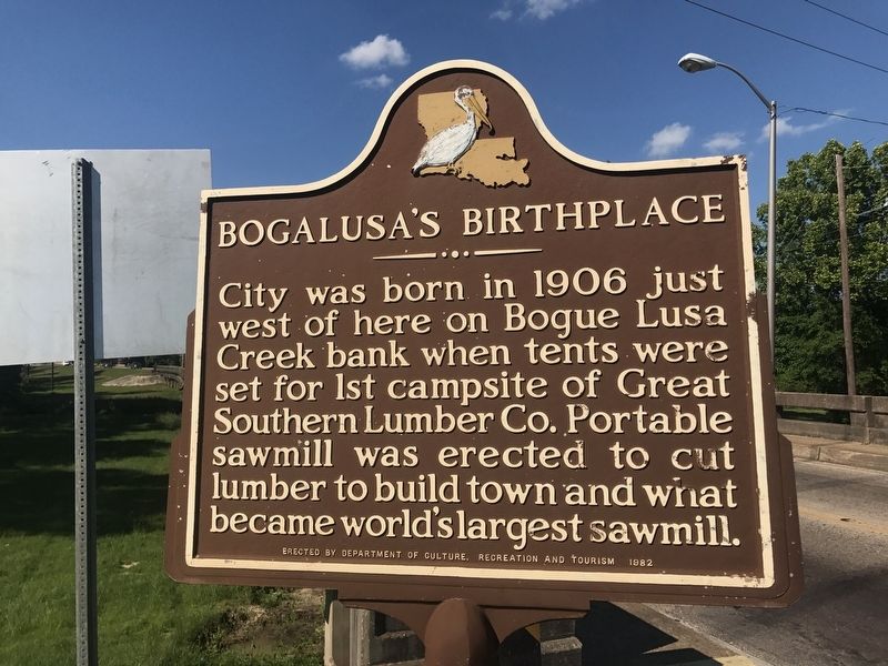
Photographed by Cajun Scrambler, May 6, 2017
1. Bogalusa's Birthplace Marker
Erected 1982 by Department of Culture, Recreation and Tourism.
Topics. This historical marker is listed in these topic lists: Industry & Commerce • Settlements & Settlers.
Location. 30° 46.961′ N, 89° 51.908′ W. Marker is in Bogalusa, Louisiana, in Washington Parish. It is at the intersection of Cumberland Street (State Highway 60) and Willis Avenue, on the right when traveling south on Cumberland Street. Touch for map. Marker is in this post office area: Bogalusa LA 70427, United States of America. Touch for directions.

Regionally, this marker is in the Florida Parishes and in Greater New Orleans. It is also in the American South, specifically in the Deep South, and on the Gulf Coast. Globally, it is in North America, a Gulf of Mexico state, the Western Hemisphere, the Western World, and the Anglosphere. Historically,
this page online
Other nearby markers. At least 8 other markers are within 8 miles of this marker, measured as the crow flies: At This Very Site (about 800 feet away, measured in a direct line); The Greater Ebenezer Baptist Church (approx. 1.3 miles away); Robert "Bob" Hicks House (approx. 1.4 miles away); Robert "Bob" Hicks/ Robert "Bob" Hicks Street (approx. 1.4 miles away); A Civil Rights Haven / 1906 Mill House (approx. 1.4 miles away); A. Z. Young's Home (approx. 1½ miles away); Old Wheat Cemetery (approx. 5.4 miles away in Mississippi); Deputy O'Neal Moore (approx. 8 miles away). Touch for a list and map of all markers in Bogalusa.
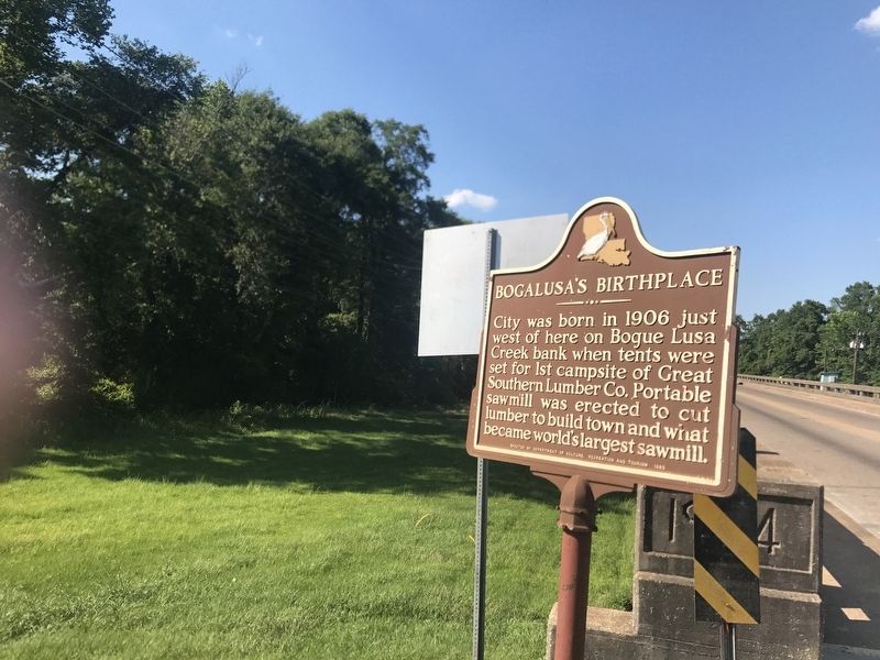
Photographed by Cajun Scrambler, May 6, 2017
2. Bogalusa's Birthplace Marker
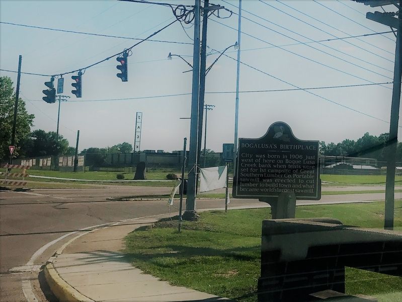
May 6, 2017
3. Bogalusa's Birthplace Marker
Credits. This page was last revised on September 23, 2022. It was originally submitted on May 6, 2017, by Cajun Scrambler of Assumption, Louisiana. This page has been viewed 904 times since then and 44 times this year. Photos: 1, 2, 3. submitted on May 6, 2017.
