Three Rivers in Tulare County, California — The American West (Pacific Coastal)
Buttress Tree
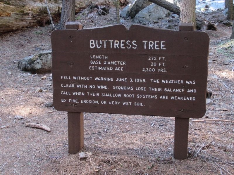
Photographed by Michael Herrick, May 3, 2017
1. Buttress Tree Marker
Length 272 ft.
Base Diameter 20 ft.
Estimated Age 2,300 yrs.
Topics. This historical marker is listed in this topic list: Horticulture & Forestry. A significant historical date for this entry is June 3, 1959.
Location. 36° 33.038′ N, 118° 45.896′ W. Marker is in Three Rivers, California, in Tulare County. It is on Crescent Meadow Road 1.3 miles south of Generals Hwy, on the left when traveling south. Located in Sequoia National Park. Touch for map. Marker is in this post office area: Three Rivers CA 93271, United States of America. Touch for directions.

Regionally, this marker is in the San Joaquin Valley, specifically in the Central Valley, and in the Sierra Nevada. It is also on the American Pacific Coast. Globally, it is in North America, on the Ring of Fire, on the Pacific Rim, in the Western Hemisphere, in the Western World, and in the Anglosphere. Historically, it finds itself in what was once New
this page online
Other nearby markers. At least 8 other markers are within one mile of this marker, measured as the crow flies: Call the Cavalry! (within shouting distance of this marker); The CCC Boys (approx. ¼ mile away); The Naturalists (approx. ¼ mile away); Stephen Tyng Mather (approx. ¼ mile away); Auto Log (approx. 0.3 miles away); Colonel Young: A Buffalo Soldier (approx. 0.4 miles away); Middle Fork Canyon (approx. 0.7 miles away); For the Good of the Giants (approx. 1.1 miles away). Touch for a list and map of all markers in Three Rivers.
Also see . . . Sequoia National Park. (Submitted on May 9, 2017, by Michael Herrick of Southbury, Connecticut.)
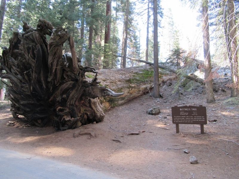
Photographed by Michael Herrick, May 3, 2017
2. Buttress Tree and Marker
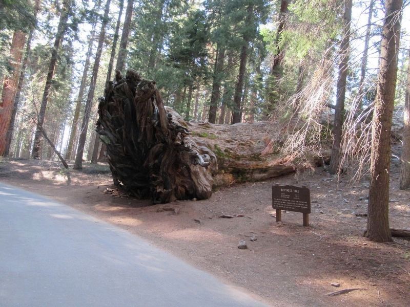
Photographed by Michael Herrick, May 3, 2017
3. Buttress Tree and Marker
Credits. This page was last revised on May 9, 2017. It was originally submitted on May 9, 2017, by Michael Herrick of Southbury, Connecticut. This page has been viewed 964 times since then and 53 times this year. Photos: 1, 2, 3. submitted on May 9, 2017, by Michael Herrick of Southbury, Connecticut.
