Orangeburg in Orangeburg County, South Carolina — The American South (South Atlantic)
Jewish Merchants
⎯⎯⎯
Jewish Life

Photographed by Jane Ruschky, April 19, 2017
1. Jewish Merchants side of the marker
Jewish Merchants. Russell St., historic hub of Orangeburg's commercial life, was home to Jewish merchants for over 160 years. German Jews began settling in Orangeburg in the 1830s, followed in the next century by Eastern European Jews. Deopold Louis was likely the first Jewish merchant in town. Theodore Kohn, known as father of Orangeburg's graded schools, co-founded Ezekial & Kohn in 1868. By the mid-1900's as many as 15 stores downtown were Jewish owned. In 1996 Barshay & Marcus was the last to close.
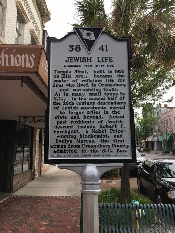
Jewish Life. Temple Sinai, built in 1955 on Ellis Ave., became the center of religious life for Jews who lived in Orangeburg and surrounding towns. As in many small towns in S.C., in the second half of the 20th century descendants of Jewish merchants moved to larger cities in the state and beyond. Noted past residents include Robert F. Furchgott, a Nobel Prize-winning biochemist, and Evelyn Marcus, the first woman from Orangeburg County admitted to the S.C. Bar.
Erected 2015 by South Carolina Department of Archives and History, sponsored by The Jewish Historical Society of South Carolina. (Marker Number 38-41.)
Topics.
this page online
Location. 33° 29.369′ N, 80° 51.88′ W. Marker is in Orangeburg, South Carolina, in Orangeburg County. It is on Russell Street (State Highway 33) east of Broughton Street (Business U.S. 178), on the left when traveling east. Touch for map. Marker is at or near this postal address: 1161 Russell Street, Orangeburg SC 29115, United States of America. Touch for directions.

Regionally, this marker is in the Lowcountry and in Santee Cooper Country. It is also in the American South and specifically in the Deep South. Globally, it is in North America, the Western Hemisphere, the Western World, and the Anglosphere. Historically, it finds itself in what was once the territory of the Mississippian Culture, one of the original Thirteen Colonies, one of the Confederate States of America, and the Antebellum South.
Other nearby markers. At least 8 other markers are within walking distance of this marker: The Two Old Guns Of Captain Henry Felder (about 400 feet away, measured
Photographed by Jane Ruschky, April 19, 2017
2. Jewish Life side of the marker
Photographed by Jane Ruschky, April 19, 2017
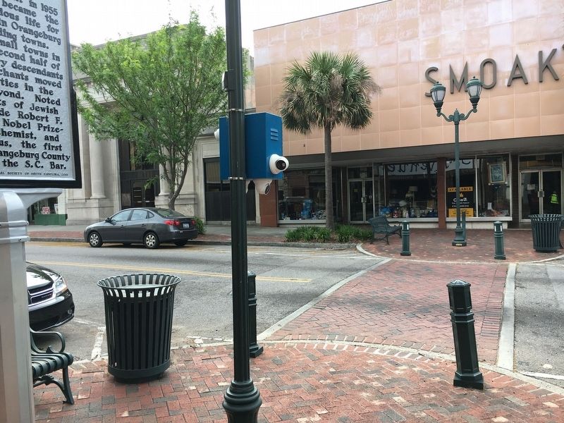
3. Jewish Merchants/Jewish Life Marker
Credits. This page was last revised on January 25, 2026. It was originally submitted on April 19, 2017, by Jane Ruschky of Columbia, South Carolina. This page has been viewed 919 times since then and 53 times this year. Last updated on May 12, 2017, by Byron Hooks of Sandy Springs, Georgia. Photos: 1, 2, 3. submitted on April 19, 2017, by Jane Ruschky of Columbia, South Carolina. • Bernard Fisher was the editor who published this page.
Editor’s want-list for this marker. A wide shot of the marker in context. • Can you help?
