Picayune in Pearl River County, Mississippi — The American South (East South Central)
Southern Railroad Logo
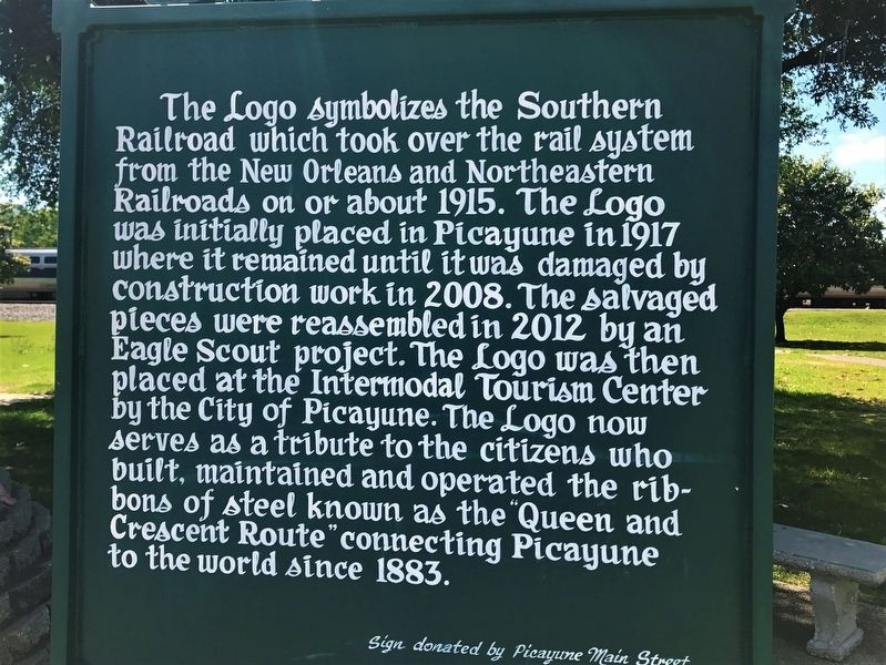
Photographed by Cajun Scrambler, May 6, 2017
1. Southern Railroad Logo Marker
Erected by Picayune Main Street.
Topics. This historical marker is listed in these topic lists: Railroads & Streetcars • Settlements & Settlers.
Location. 30° 31.457′ N, 89° 40.822′ W. Marker is in Picayune, Mississippi, in Pearl River County. It is on U.S. 11 near Tate Street, on the right when traveling south. Touch for map. Marker is at or near this postal address: 200 Hwy 11 South, Picayune MS 39466, United States of America. Touch for directions.

Regionally, this marker
this page online
Other nearby markers. At least 8 other markers are within 13 miles of this marker, measured as the crow flies: Pearl River County - Area Confederate Companies (within shouting distance of this marker); Tank Car CROX 2027 (within shouting distance of this marker); Picayune (approx. ¼ mile away); Picayune Colored High School (approx. half a mile away); Pinecote Pavilion (approx. 1.7 miles away); The "Hancock Rebels" (approx. 4.2 miles away); Santa Rosa (approx. 8.3 miles away); NASA John C. Stennis Space Center (approx. 12.8 miles away). Touch for a list and map of all markers in Picayune.
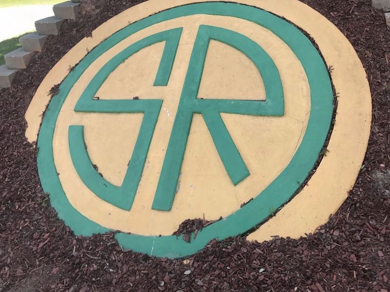
Photographed by Cajun Scrambler, May 6, 2017
2. Southern Railroad Logo
Credits. This page was last revised on May 15, 2026. It was originally submitted on May 13, 2017, by Cajun Scrambler of Assumption, Louisiana. This page has been viewed 780 times since then and 41 times this year. Photos: 1, 2. submitted on May 13, 2017.
Editor’s want-list for this marker. A wide shot of the marker and its surroundings. • Can you help?
